Redbird trail network offers year-round recreation in Owsley County
Redbird’s 69-mile loop gives Owsley County a year-round trail asset, with maps, trailheads and wildlife land that can drive real local traffic.
Redbird is one of those places where Owsley County’s backcountry becomes a working recreation corridor. The Redbird Crest Trail runs as a 69-mile loop through a 145,850-acre purchase area that reaches into Owsley and five neighboring counties, and the broader Redbird trail system carries more than 100 miles of OHV trail use. Open year-round to OHV riders, hikers, horseback riders and mountain bikers, it is the kind of public land that can send visitors through the county in every season, not just during a short fall window.
What Redbird is, and why Owsley matters
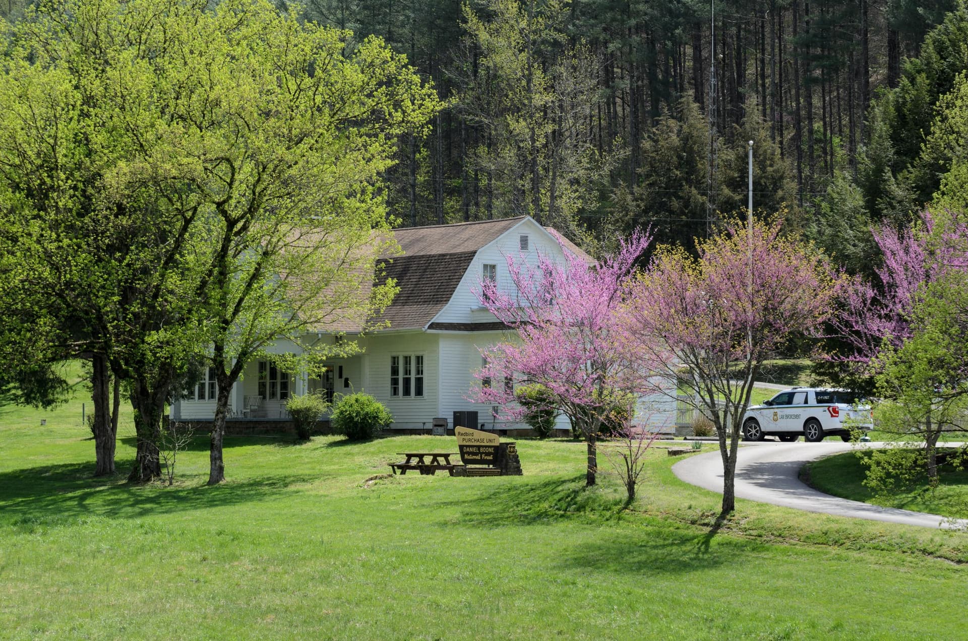
The Redbird Ranger District office is in Big Creek, Kentucky, at 91 Peabody Road, and it manages the Redbird Purchase, a stand-alone unit that spans Clay, Leslie, Owsley, Perry, Harlan and Knox counties. That alone makes Owsley part of a larger recreation system rather than an isolated edge of the forest. The Daniel Boone National Forest, which contains Redbird, covers 21 counties and more than 708,000 acres inside a 2.1 million-acre proclamation boundary, so the district sits inside a much larger managed landscape with its own set of roads, routes and land-status rules.
Redbird also carries unusual historical weight. Forest Service material describes the Red Bird Purchase Unit as one of the most significant federal land-purchase programs that followed World War II, with most of the land acquired in the late 1960s and early 1970s. That history matters because the public land around Owsley was not accidental leftover forest. It is a deliberately assembled recreation and resource-management area that now shapes where people can ride, hike and camp.
The trail network that reaches into Owsley County
The Redbird Crest Trail is the headline route, but the real story is the system around it. The Forest Service now describes the trail as a 69-mile loop, and the wider Redbird trail system is still described on agency pages as offering more than 100 miles of OHV trail riding. For Owsley County, that means the landscape is part of a route network that already has a regional draw, especially for riders who want long loops rather than one short out-and-back ride.

Access has also been changing in response to demand. Forest Service material says some Redbird Crest Trail sections are being increased to 64 inches in width, a move tied to public interest in wider access for larger OHVs. A Forest Service feature said the district signed a decision memo to increase prescribed-burning acre availability to cover about 75% of the unit, and that work was paired with an agreement involving the Kentucky Mountain Regional Recreation Authority. Those details matter because they show Redbird is not just a static trail map. The district is actively adjusting the ground for use, habitat and fire management at the same time.
How to plan a trip without guessing at access
The safest way to approach Redbird is through the Forest Service’s own map tools. The Daniel Boone National Forest’s Interactive Visitor Map is designed to generate customized maps of roads, trails and recreation sites, and the Land Status Viewer is identified as the authoritative source for Forest Service land ownership. In a county where public and private ground meet in tight patches, that is not a minor detail. It is the difference between arriving at a trailhead and ending up on the wrong side of a boundary.
The district also sells large fold-out plastic maps, and the Redbird District map is at a scale of 1:26,720. The Forest Service also points users to GeoPDF downloads, the USGS Store, and forest offices and visitor centers. For someone planning a day ride, a hiking loop or a family outing, that gives a practical route to check roads, confirm access and match the right trail to the right vehicle before leaving home.
Where the network opens up beyond the main loop
The Redbird system does not end with the Crest Trail. Peabody Trailhead off KY 66 in Clay County offers designated parking, visitor information, trash collection and primitive camping, giving the district a concrete place for riders and campers to stage a trip. The Daniel Boone Trail Connector adds a 5-mile link between the Redbird Crest Trail and the privately owned Leslie County RV Park, which widens the trip possibilities for visitors who want a mix of riding and overnight stays.
Redbird Wildlife Management Area adds another layer. The area covers 24,033 acres, has more than 25 miles of trails, and is cooperatively managed with the Kentucky Department of Fish and Wildlife Resources. That gives the region a different kind of outdoor footprint, one that complements the OHV network with a wildlife-focused landscape and more trail mileage. The South Fork Kentucky River ties Owsley into the same broader geography, beginning in Clay County and flowing north through Owsley County to the Kentucky River confluence in Lee County. For local use, that combination of trails, wildlife land and river country is what turns Redbird into more than a ride-through area.
The stakes for Owsley County
Redbird already brings the ingredients that usually support local recreation income: a long trail loop, a large wildlife area, a connector to an RV park, a trailhead with parking and camping, and a county-wide river corridor that adds another outdoor draw. The open question is whether Owsley County is taking full advantage of a public-land resource sitting in its backyard. When a recreation system covers 145,850 acres across six counties and is being adjusted for wider access, fire management and year-round use, the counties inside it either benefit from the traffic or watch it move through without stopping.
For Owsley, Redbird is not just scenery. It is an asset with enough scale, access points and trail variety to support repeat visits, longer stays and a stronger local recreation economy.
This article was produced by Prism’s automated news system from verified source data, official records, and press releases, then run through automated quality and moderation checks before publishing. The system is built and supervised by the people who set the standards it runs under. Read our full AI policy.
Did this article answer your question?