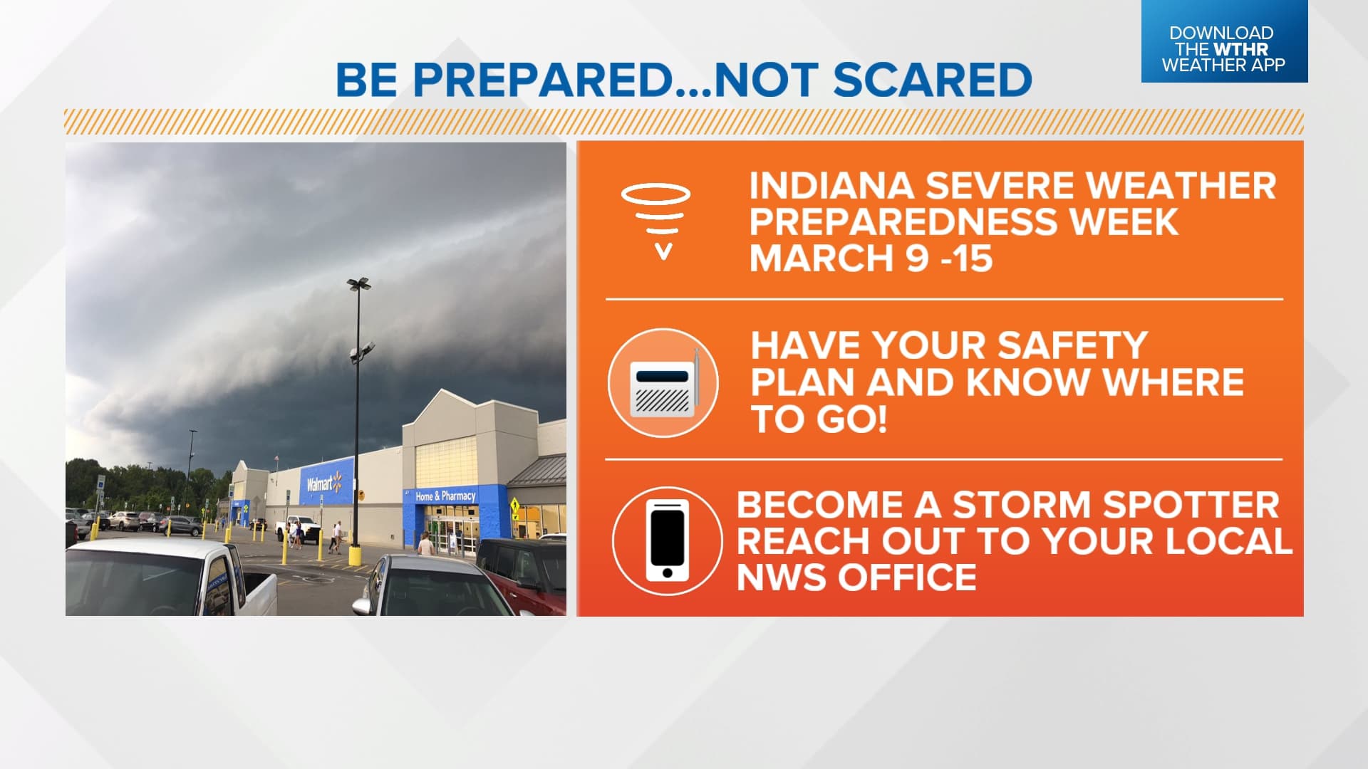
Indiana Severe Weather Preparedness Week Set for March 8-14, Tornado Drill March 10
Indiana's statewide tornado drill fires at 10:15 a.m. Eastern today as Gov. Mike Braun's Severe Weather Preparedness Week enters its third day.
Indiana's statewide tornado drill is underway this morning, with the National Weather Service issuing a test tornado warning alert at approximately 10:15 a.m. Eastern as part of Severe Weather Preparedness Week, which Governor Mike Braun proclaimed for March 8 through 14, 2026.
The drill activates NOAA Weather Radios and may trigger outdoor warning sirens across communities statewide. Notably, the test will not alert cellphones, making NOAA Weather Radio and the Emergency Alert System the primary channels for today's test signal. The NWS coordinated the exercise alongside the Indiana State Police, Indiana Department of Homeland Security, Indiana Department of Education, Indiana Broadcasters Association, American Red Cross, and Amateur Radio Operators.
If severe weather conditions warranted a delay, the NWS Indianapolis office had said the drill would be pushed to Wednesday, March 11. The NWS Get Prepared page is clear on one procedural point that surprises many participants: "There will be no follow-up alerts issued by the NWS to mark the end of the statewide tornado drill. It ends when your business, school or family feels that you have adequately practiced your safety procedures."
Every Hoosier school, business, and family is encouraged to use the drill to practice exactly where to go and what to take in a real tornado warning. The recommended steps include getting to a designated safe place, reviewing sheltering procedures at work or school, and confirming that every member of a household knows the plan.
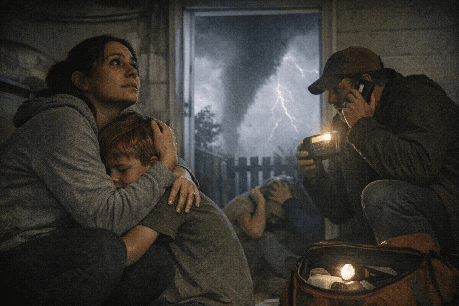
Understanding alert levels matters as much as knowing where to shelter. A tornado watch signals that conditions are favorable for tornadoes to develop and calls for heightened alertness and a reviewed safety plan. A tornado warning, by contrast, means a tornado has been radar-indicated or visually confirmed, with a typical lead time of 10 to 15 minutes. The rarest designation, a Tornado Emergency, is reserved only for large, confirmed, destructive tornadoes. At the severe thunderstorm level, the most extreme warning tier covers storms capable of winds at or above 80 mph and hail at or above 2.75 inches, large enough to destroy vehicles and cause major structural damage.
Throughout the week, emergency management officials across Indiana are sharing information on floods, tornadoes, and lightning to help residents prepare before peak storm season arrives. The National Weather Service also offers free storm spotter training sessions each spring, teaching participants what county officials and NWS forecasters need from trained observers to issue accurate warnings. Spanish-language tornado safety graphics, a children's activity book, and brochures covering lightning and flood safety are available through the NWS Get Prepared page for households that want printed reference materials.
This article was produced by Prism’s automated news system from verified source data, official records, and press releases, then run through automated quality and moderation checks before publishing. The system is built and supervised by the people who set the standards it runs under. Read our full AI policy.
Did this article answer your question?