Perry County Emergency Management Agency urges residents to prepare for severe weather
When the Ohio River reaches 57 feet at Tell City, almost all businesses and a quarter of homes can flood. Perry County EMA says CodeRED alerts are meant to warn residents before that happens.
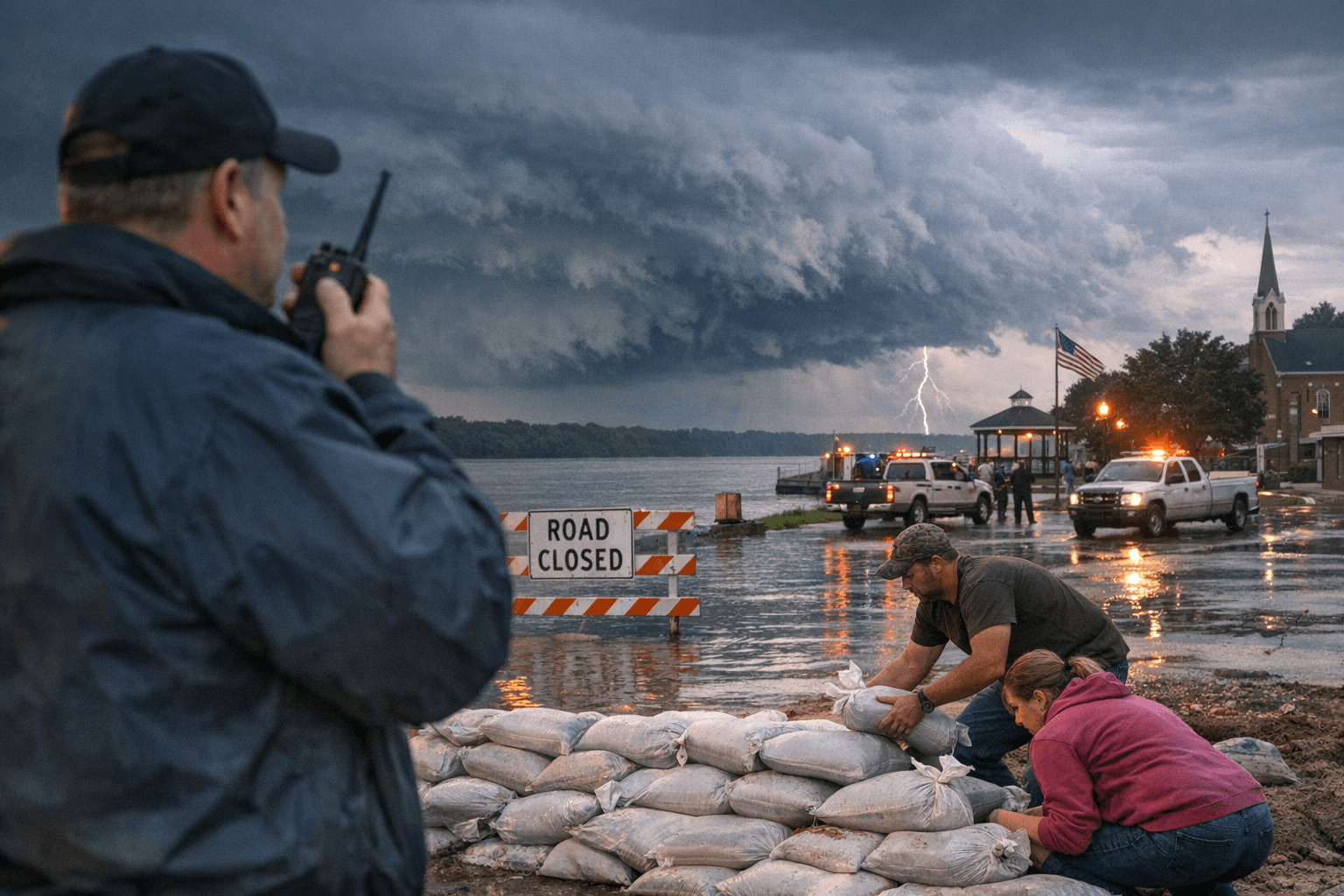
The Ohio River does not have to rise far before Perry County starts feeling it. At 57 feet, almost all businesses and one quarter of homes in Tell City can flood, a threshold that shows why the county’s emergency warning system matters long before water reaches the floodwall.
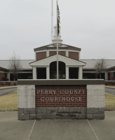
Perry County Emergency Management Agency says its job is to manage mitigation, preparedness, response and recovery for emergencies and disasters that threaten residents, homes and communities. The office at 3214 Tell Street #3 in Tell City, IN 47586, can be reached at 812-547-4426, and it serves people across Tell City, Cannelton and Troy as the county’s main public-facing emergency coordination point.
The county says it has updated its Emergency Management Communications 9-1-1 System with Emergency Communications Network, the provider of CodeRED high-speed notification and CodeRED Weather Warning. Perry County also says it is recognized by the National Weather Service as a StormReady community, a designation that underscores how much local safety depends on getting fast alerts into a county of 19,170 people before severe weather turns into a larger disaster.
That warning network is only one part of the response. Perry County’s emergency planning also points residents to IN 211, the National Weather Service, Indiana Homeland Security and INDOT, reflecting the reality that no single local office can handle every road closure, power outage, tornado warning or flood response alone. In a county split between riverfront neighborhoods, town centers and rural stretches, the hazard can vary block by block. Flooding may overwhelm one part of the county while wind damage or utility outages hit another.
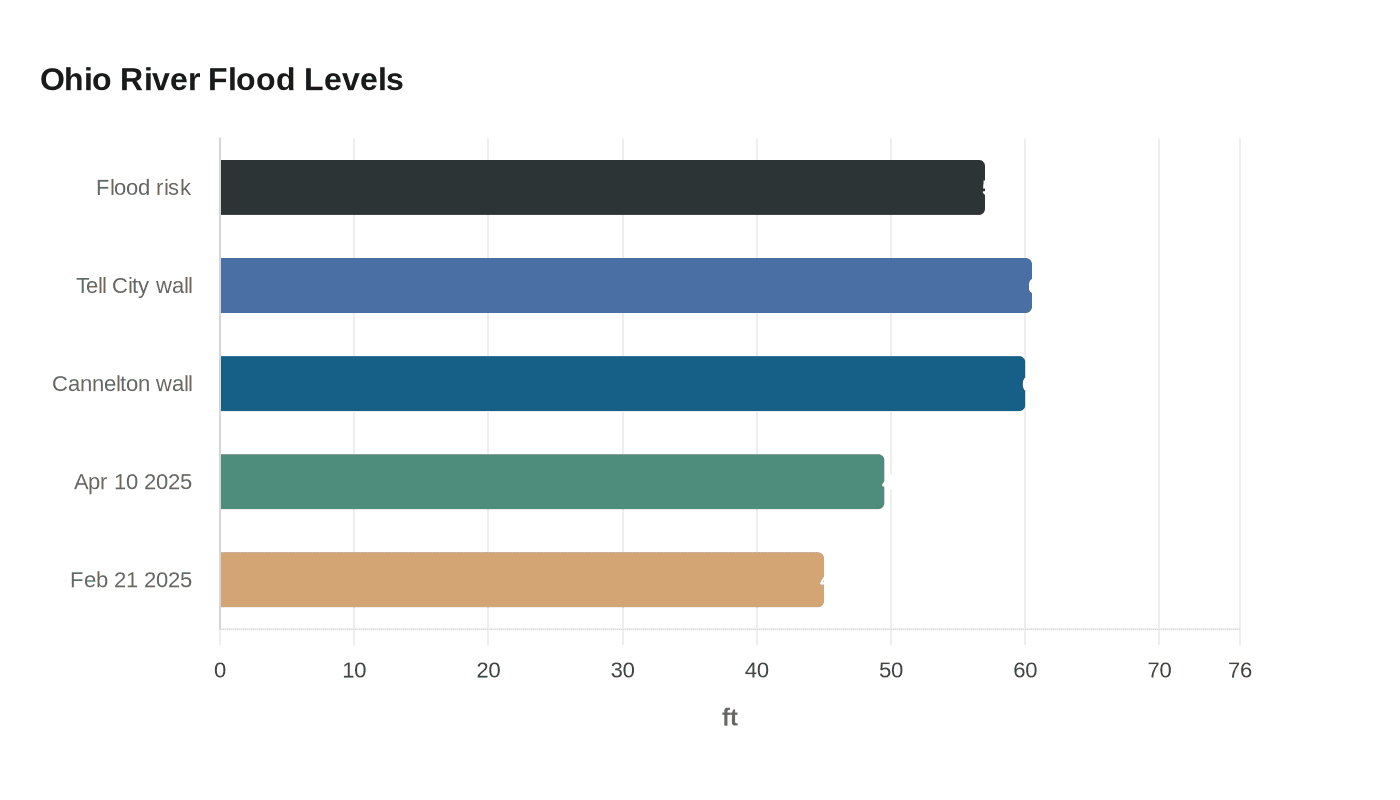
The flood risk is not theoretical. NOAA’s Ohio River gauge at Tell City says 60.5 feet reaches the top of the floodwall in Tell City and Hawesville, Kentucky, while 60 feet reaches the top of the floodwall in Cannelton. The gauge also shows recent crests of 49.50 feet on April 10, 2025, and 45.00 feet on February 21, 2025, reminders that high water has kept testing local readiness.
Perry County’s storm history is equally clear. The National Weather Service’s tornado climatology for the county records a tornado on December 9, 1952, in the northern part of Tell City that caused injuries and damaged homes and barns. Perry County was organized in 1814, making it the last county in Indiana created before the Territory of Indiana applied to Congress for an enabling act, and that long history of settlement has also been a long history of adapting to river, storm and disaster risk.
This article was produced by Prism’s automated news system from verified source data, official records, and press releases, then run through automated quality and moderation checks before publishing. The system is built and supervised by the people who set the standards it runs under. Read our full AI policy.
Did this article answer your question?