New FEMA-funded landslide report guides planning in Perry County region
A new FEMA-funded landslide report gives Perry County planners a regional hazard map as 8 flood-displaced families were still sheltering in Perry County Park.
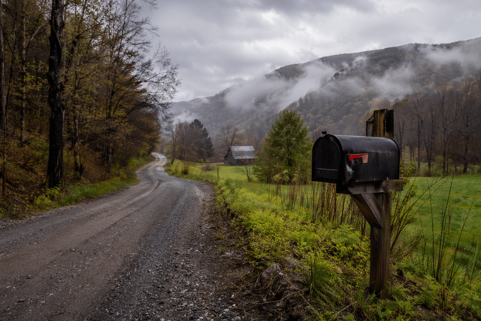
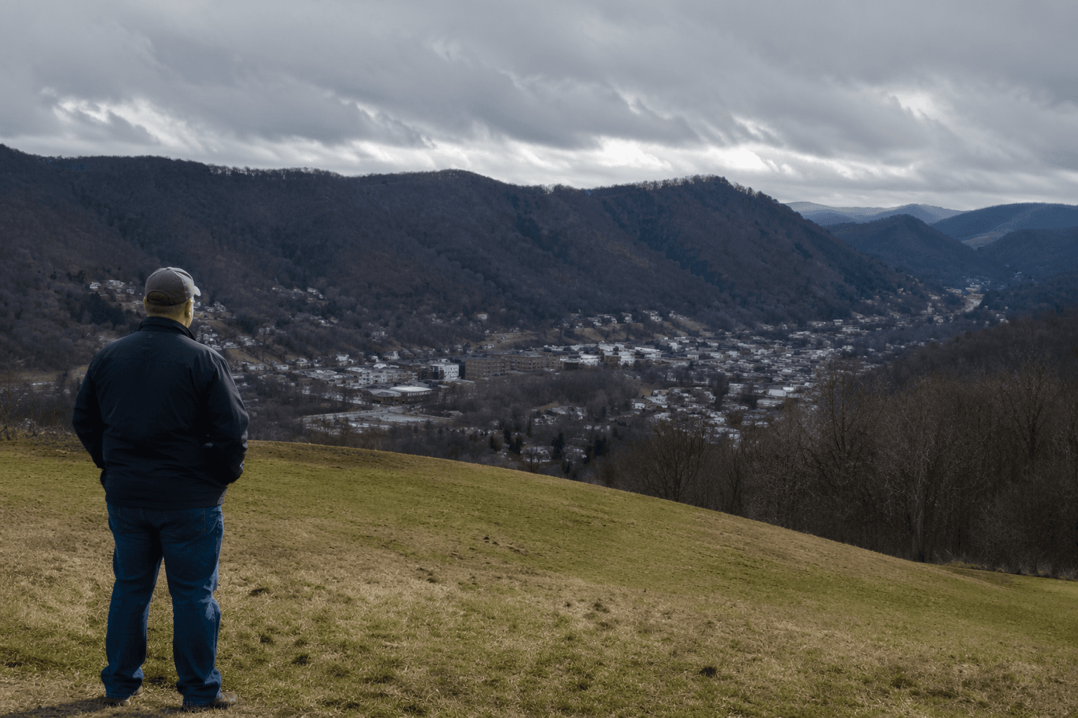
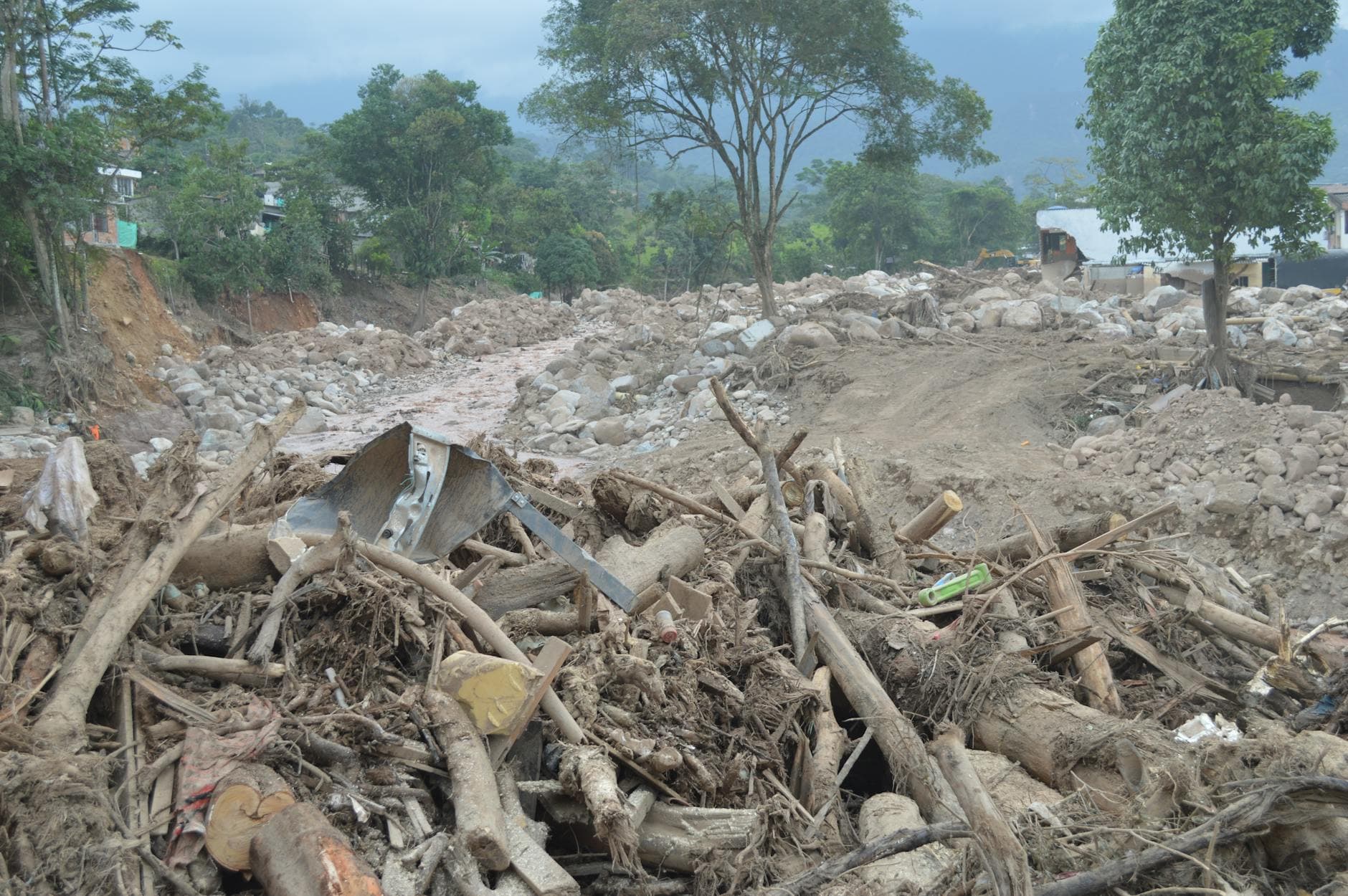
Perry County Emergency Management was still working through the fallout from the 2025 flood when a new FEMA-funded landslide report arrived for the Kentucky River region, adding another layer to the county’s disaster planning. On Feb. 10, 2026, the office said 32 families had been displaced and eight were still staying in Perry County Park, a reminder that landslide planning is not an abstract exercise in a county that keeps absorbing new emergency demands.
The Kentucky Geological Survey report covers the Kentucky River Area Development District, which includes Breathitt, Knott, Lee, Leslie, Letcher, Owsley, Perry and Wolfe counties. The district’s FEMA-approved regional hazard mitigation plan update took effect April 10, 2025, giving local governments a formal framework for land-use planning, infrastructure protection and emergency response across eastern Kentucky.
KGS says its landslide hazards team works to understand landslide risks, collect and share landslide data and coordinate with regional hazards groups, government, industry and other stakeholders. Its landslide inventory and map service pulls from KGS research, published maps, state and local agencies, the public and media reports. The inventory includes slides, flows, rockfalls and creep, and each feature gets a confidence ranking. KGS says the maps are meant for regional hazard assessment and land-use planning, not for deciding the safety of a single lot or building without a site-specific review.

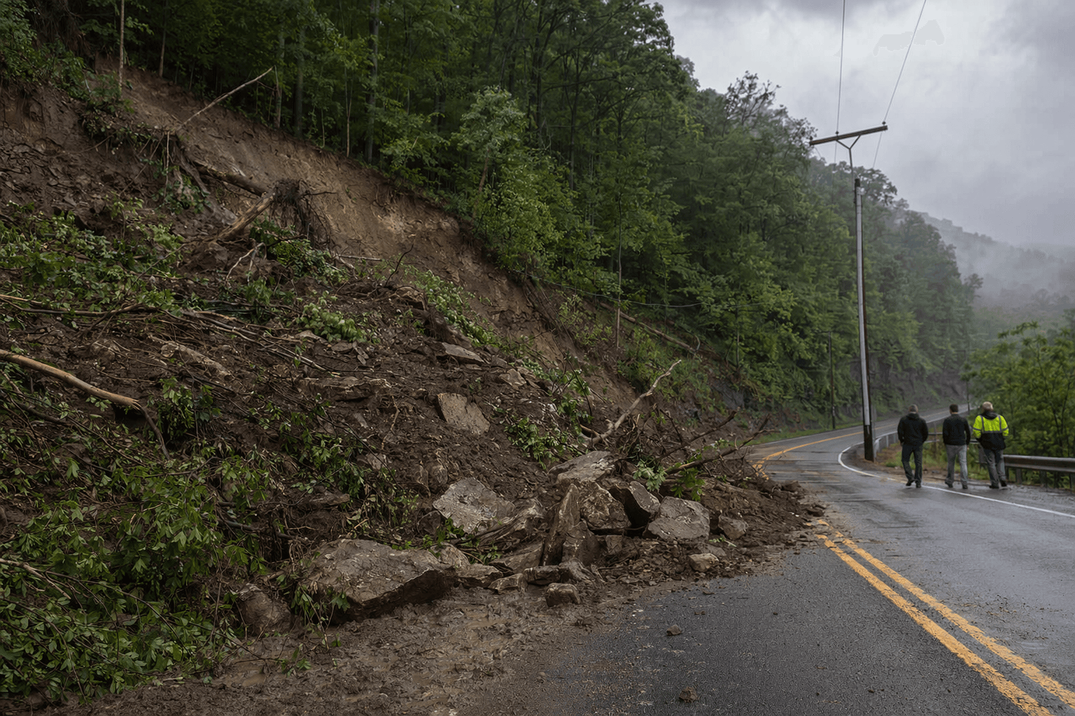
That distinction matters for Perry County, where the practical decisions now reach beyond the report itself. County and city leaders can use the new mapping alongside flood recovery work to decide where inspections should be tightened, which drainage problems need attention first, which roads and slopes warrant closer review and where future building decisions should be more cautious. KGS has said earlier FEMA-supported work in the Big Sandy Area Development District, from February 2019 to March 2021, was designed to reduce risk to people and property by building susceptibility models and sharing the findings with stakeholders. Those project materials also estimated that high concentrations of landslides cost Kentucky about $10 million to $20 million a year, with damage falling on homes, commercial property and transportation corridors.
This article was produced by Prism’s automated news system from verified source data, official records, and press releases, then run through automated quality and moderation checks before publishing. The system is built and supervised by the people who set the standards it runs under. Read our full AI policy.
Did this article answer your question?