Civil War Helena trail links Freedom Park and Estevan Hall
Helena’s Civil War loop turns Freedom Park, Estevan Hall and New Fort Curtis into a half-day lesson in emancipation, battle lines and downtown tourism.
Freedom Park, Estevan Hall and New Fort Curtis anchor a walkable loop through Helena’s Civil War landscape. The route connects freedom seeking, military occupation, river geography and preservation in a way that is easy to read on foot and hard to separate from Phillips County’s downtown economy.
A compact route through Helena’s wartime landscape
Helena was founded in 1833, and its location at the end of Crowley’s Ridge on the Mississippi River made it a natural military prize as well as a river town. Union forces captured Helena on July 12, 1862, and held it for the rest of the Civil War, turning the city into a fortified occupation zone that shaped daily life, labor and movement.
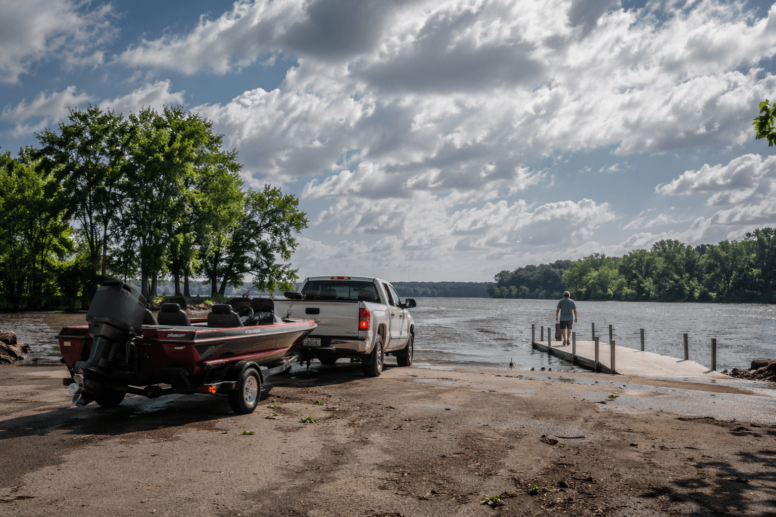
That geography still matters to the visitor experience. A self-guided Civil War Helena trail can be done as a connected loop that links Freedom Park on South Biscoe Street, Estevan Hall, New Fort Curtis, Helena River Park, the Moore-Hornor Home, the Delta Cultural Center and Court Square Park. Stronger signs, routine maintenance and regular programming would make that route easier to follow, which in turn would keep more people walking downtown long enough to spend at museums, restaurants and shops.
Freedom Park and the story of freedom seeking
Freedom Park is the best place to begin because it changes the frame from battlefield history to emancipation history. The site was the former location of a contraband camp, and it was the first place in Arkansas designated as a National Underground Railroad Network to Freedom site. The National Park Service created that network under the National Underground Railroad Network to Freedom Act of 1998 to honor, preserve and promote the history of resistance to enslavement through escape and flight.
The park’s five outdoor exhibits make that history legible in place. One local marker calls Helena “an island of freedom in a slave state,” and the exhibits follow the path from fugitive slave to freedom, including for some, enlistment in the Union Army and participation in the Battle of Helena. In May 1863, abolitionist Levi Coffin visited the city and said he found 3,600 contrabands there, working either for the government or as farmers.
Estevan Hall and the civilian home front
Across the street, Estevan Hall adds the domestic side of the story. It may be the longest-standing structure in Phillips County, and its wartime use as a hospital shows how closely civilian homes and military needs overlapped during the occupation.
From there, the trail helps explain the daily restrictions that defined Union-held Helena. Historical markers state that citizens could not enter or leave without a pass and had to take the Oath of Allegiance to do business. Occupation tied access, commerce and movement to Federal authority.
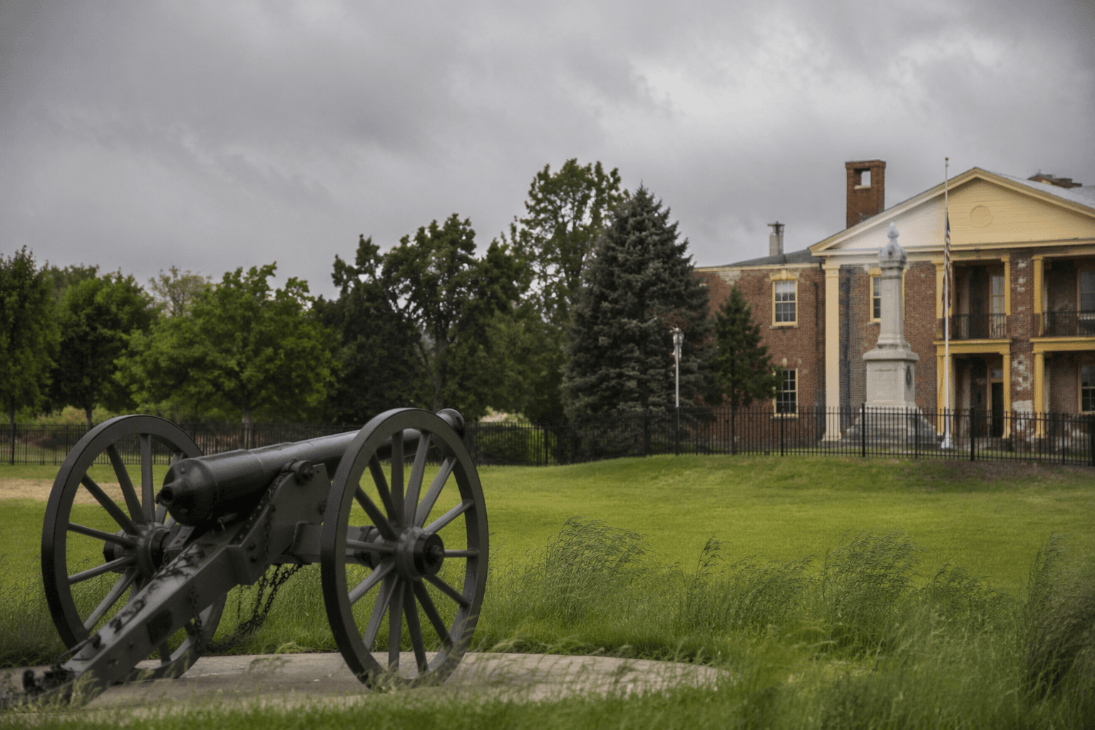
New Fort Curtis and Helena’s defenses
New Fort Curtis is the most visible reminder that Helena was built into a military landscape. The site is a three-quarter replica of the original Fort Curtis, with earthworks and large 24-pounder guns that help visitors picture how the town was defended. The original Fort Curtis was built in 1862 as part of Helena’s Federal defenses, and the reconstructed site opened in 2012 as part of the Helena Battlefield landscape.
The fort also shows the role of labor in shaping the defenses. African American laborers completed a large earthen fort in October 1862 after the Union capture of Helena in July of that year.
The Battle of Helena and the stakes beyond Phillips County
The Battle of Helena was fought on July 4, 1863, and the fight was tied to Confederate efforts to relieve pressure on Vicksburg. The National Park Service estimates casualties at 1,875 total, including 239 Union and 1,636 Confederate casualties. Nearly 12,000 men were engaged, according to the Encyclopedia of Arkansas.
The original fortification and the battlefield sit in a broader defensive landscape shaped by the Mississippi River and Crowley’s Ridge, two features that determined where troops could move and where commanders could hold ground.
Moore-Hornor Home, Helena River Park and the downtown loop
The trail becomes even more useful when it includes the Moore-Hornor Home and Helena River Park. A historical marker identifies General Frederick Salomon as directing the defense of Helena from the Moore-Hornor Home during the Battle of Helena, and the house later served as a hospital after the battle. The bullet holes in its parlor doors turn that history into something visible and immediate.
Helena River Park adds the river transport piece. The Gunboat Tyler was once stationed there and several regiments camped at the site. The park shows how river power, troop movement and occupation all converged along the Mississippi waterfront.
For a school group, that combination creates a strong teaching loop: Freedom Park explains why people came to Helena; Estevan Hall shows how the war entered daily life; New Fort Curtis explains the defenses; the Moore-Hornor Home shows command and medical use; and Helena River Park shows the river as a military corridor. The Delta Cultural Center and Court Square Park extend that route into downtown.
This article was produced by Prism’s automated news system from verified source data, official records, and press releases, then run through automated quality and moderation checks before publishing. The system is built and supervised by the people who set the standards it runs under. Read our full AI policy.
Did this article answer your question?