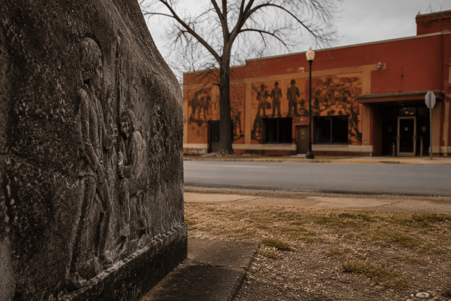
Helena markers recount Trail of Tears water route through Mississippi River
Two Helena markers place Phillips County on the Trail of Tears water route, showing how the Mississippi River carried forced removal through the city’s port.
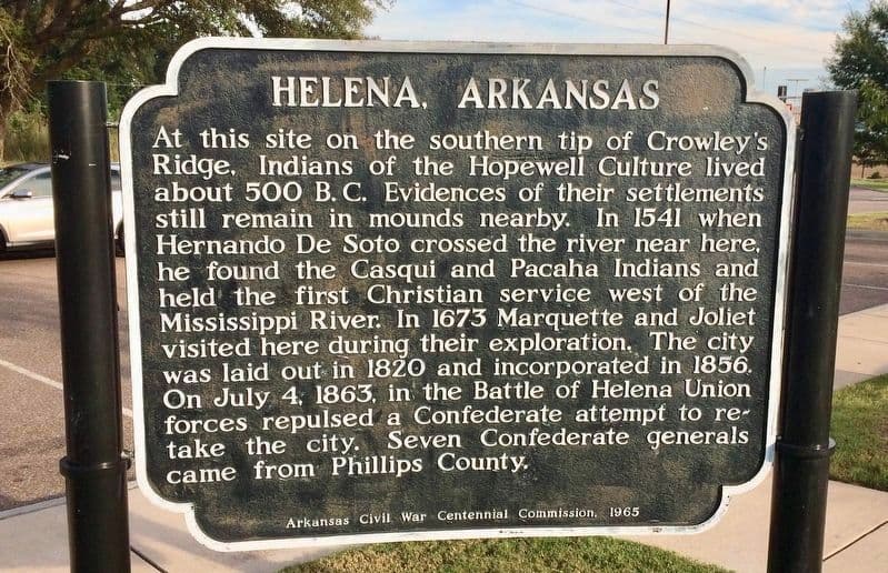
Helena’s riverfront holds a difficult kind of landmark: two historic markers that turn Phillips County into a place where the Trail of Tears can be read in the landscape. The markers, “Helena and the Trail of Tears” and “They Passed this Way,” identify the Mississippi River corridor as part of the Water Route to Indian Territory, linking this river town to one of the most consequential forced migrations in American history.
A river stop with national meaning
Helena was founded in 1820, and by the time removal detachments passed through, it was already a bustling port. That mattered because the Mississippi River was not just scenery here. It was the main artery carrying people, freight, military movement, and, in this case, Native families being forced toward the Arkansas River and onward to Indian Territory, now Oklahoma.
That geography gives the markers their weight. Helena was not an abstract point on a map, but a working river town whose location tied Phillips County to the wider transportation system of the 19th century. The same river access that made the city valuable for trade and travel also made it part of the machinery of removal.
What the markers say on the ground
The two markers do more than name a tragedy. They make the route visible in a place where residents and visitors can stand and understand that the Mississippi corridor was used to move Indigenous people out of their ancestral lands in the Southeast. Arkansas Delta Byways describes the markers as commemorating the grueling Water Route to Indian Territory, which was one of several routes used to forcibly remove Native Americans from the Southeast to present-day Oklahoma.
That local interpretation matters because it keeps the story tied to Helena’s riverfront rather than treating the Trail of Tears as a distant national theme. A stop at the markers can become a specific act of reading the place itself: the port, the waterway, and the route that passed through it. For Phillips County, the site is a reminder that the river shaped both prosperity and suffering.
How Arkansas places Helena in the Trail of Tears story
Helena’s markers sit within a broader state and national framework. Arkansas Heritage’s Trail of Tears context identifies removal routes in Arkansas for the Cherokee, Chickasaw, Choctaw, Creek, and Seminole nations. That statewide material was developed with the Arkansas Department of Parks and Tourism and the Arkansas Department of Transportation under Act 728 of the 87th Arkansas General Assembly, which shows that the effort to interpret this history has been folded into public history and transportation planning, not left to one local plaque.
The national framework is equally important. In 1987, Congress created the Trail of Tears National Historic Trail, and the trail includes both water routes and overland routes traveled during Cherokee removal. The National Park Service now has a Helena, Arkansas Trail of Tears place page and a Trail of Tears Arkansas River Water Route itinerary, placing Helena within a larger network of locations that help trace the route across the state.
That wider context matters for visitors who may know the Trail of Tears as a single overland march. Helena shows that the removal story also moved by river, and that water access could determine the shape of forced migration just as surely as roads and trails did.
How to use the site as a local history stop
Helena’s markers work best as part of a short self-guided heritage visit, not as a quick glance from the roadside. Start with the markers themselves, then use the river setting to connect the text on the signs to the geography around you. The Mississippi River explains why Helena became a port, and the port explains why removal detachments moved through here.
- Read both markers together, since they interpret the same water-route history from slightly different angles.
- Look toward the river and think about how Helena’s location connected it to movement up and down the Mississippi.
- Pair the stop with other downtown and river-facing historical sites in Helena to place the markers within the city’s broader heritage landscape.
- Use the site to discuss how public history can tell difficult stories honestly without separating them from the places where they happened.
A visit can be especially meaningful for families, school groups, and visitors who want Phillips County history anchored in a real place:
That approach keeps the focus where it belongs: on Helena as a working river town that became part of a forced migration route because of its geography. It also helps explain why these markers belong in Phillips County’s story, not just in a list of heritage stops.
A place where the river still explains the past
Helena is one of Arkansas’s oldest river communities, and that long river history helps explain why the Trail of Tears water route reached this point on the Mississippi. The markers in Helena do more than commemorate a chapter of American history. They identify a place where commerce, transport, and federal removal policy intersected on the riverfront, leaving Phillips County with a site that can still be read from the ground up.
This article was produced by Prism’s automated news system from verified source data, official records, and press releases, then run through automated quality and moderation checks before publishing. The system is built and supervised by the people who set the standards it runs under. Read our full AI policy.
Did this article answer your question?