Northern Quitman County hit by hail in multi-round storm outbreak
Hail hit northern Quitman County Monday evening as a multi-round storm system kept rolling across the Mid-South, with more severe weather still on the way.
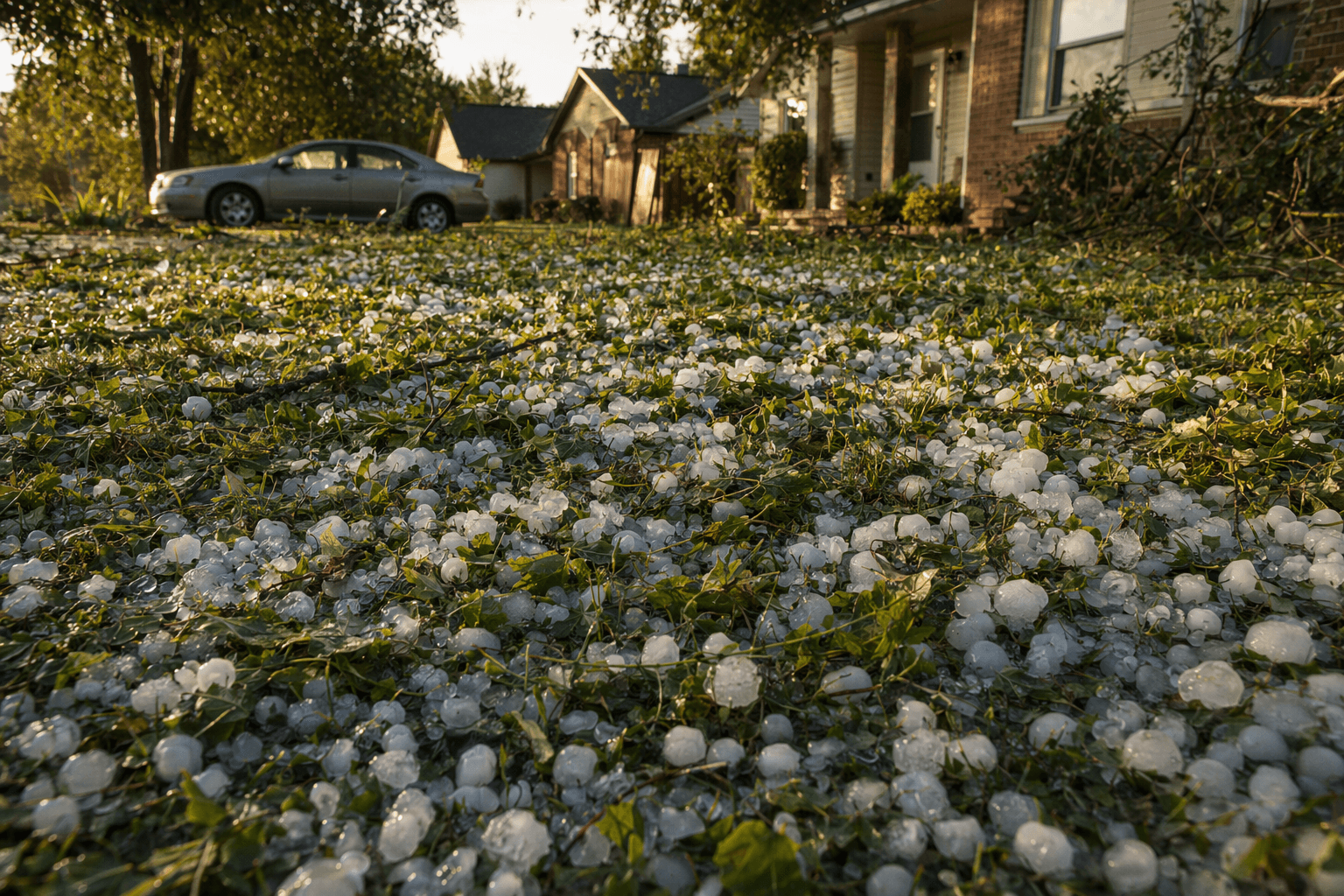
Hail already hit northern Quitman County Monday evening, giving the county a direct taste of the storm outbreak before the wider Mid-South system finished cycling through. The same line of storms later produced quarter-sized hail in Benton County around 9 p.m. Monday, a reminder that the first damage reports were coming in while the broader severe-weather event was still unfolding.
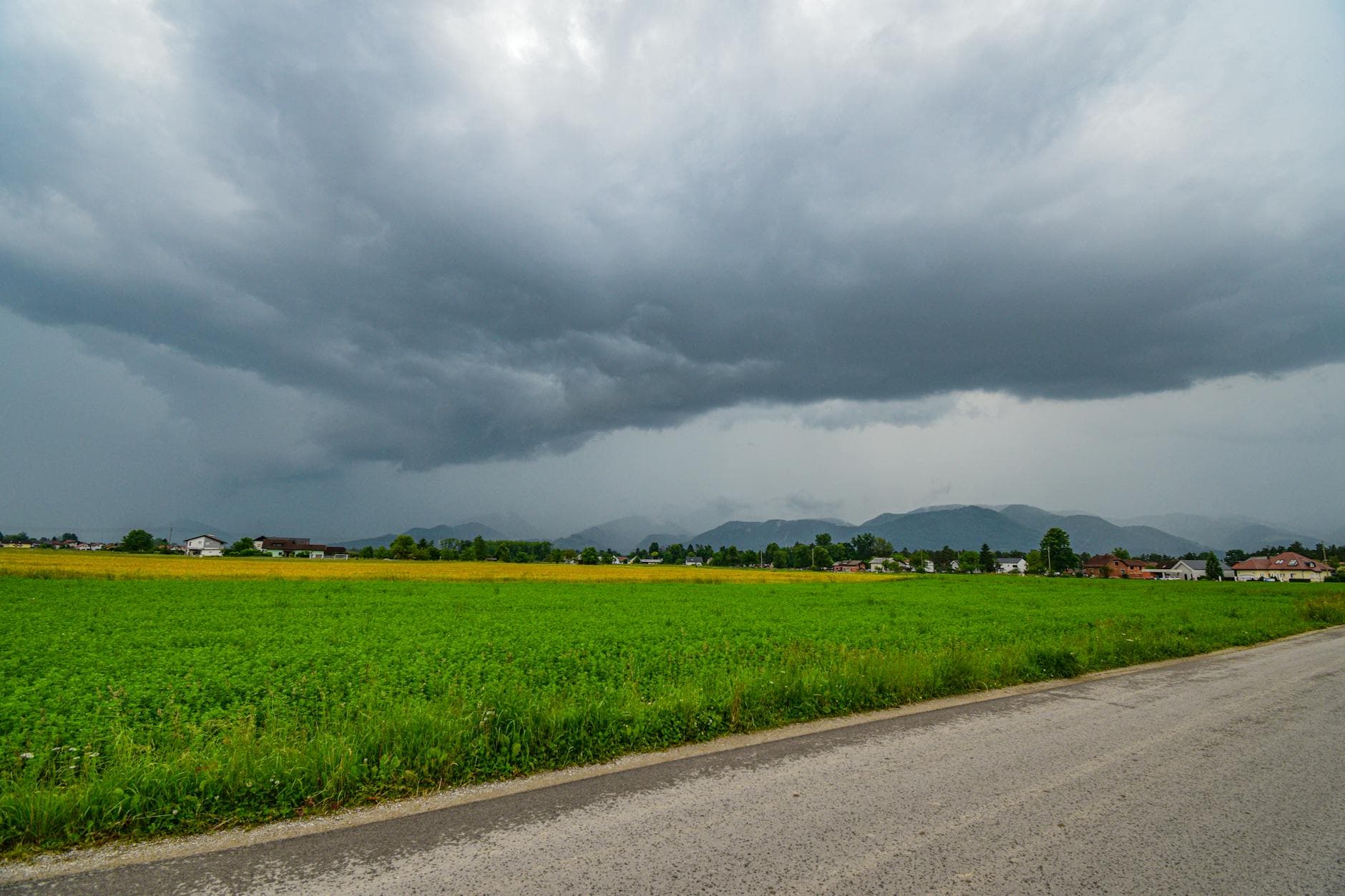
The weather threat did not come in a single burst. Storms developed late Monday night, continued through early Tuesday morning, and then returned again Tuesday evening, extending the window for hail, damaging wind and flash flooding. The National Weather Service said the setup was capable of producing very large hail, swaths of damaging wind, a few tornadoes and heavy rain across the lower Mississippi and Tennessee valleys. Forecast coverage had already upgraded the April 28 threat from slight risk to enhanced risk, with another local forecast pointing to a 30% to 44% chance of severe wind and gusts up to 70 mph.
That matters in Quitman County, where even localized hail can cause outsized disruption across a small, rural landscape. The county had 6,176 residents in the 2020 Census and an estimated 5,364 as of July 1, 2025, with Marks serving as the county seat. Formed in 1877 from parts of Tunica, Coahoma, Panola and Tallahatchie counties, Quitman County has long stretches of open road, scattered homes and farm ground that are especially exposed when storms turn severe.
The hail report in northern Quitman County also fits a larger pattern of impacts around the region. The Missouri bootheel saw wind gusts estimated above 70 mph, Brighton’s town hall in Tipton County took roof damage, and trees and power lines came down in multiple places as the storm rounds kept moving. Later updates said many counties across the Mid-South dealt with damage and flooding, while a Tornado Watch covered Memphis and the Mid-South through 10 p.m.
For Quitman County, the immediate concern after a hail event like this is the kind of damage that can hide in plain sight: dented vehicles, bruised crops, broken limbs, damaged shingles and short-lived road hazards from debris and standing water. In a county this size, even a narrow hail swath can leave a mark that is felt from the farms north of Marks to the county’s rural roads long after the thunder moves on.
This article was produced by Prism’s automated news system from verified source data, official records, and press releases, then run through automated quality and moderation checks before publishing. The system is built and supervised by the people who set the standards it runs under. Read our full AI policy.
Did this article answer your question?