Quitman County flood maps, public meetings keep preparedness front and center
Quitman County’s 2024 flood maps are still online, and 2026 board meetings show Marks and nearby towns keep flood planning active.
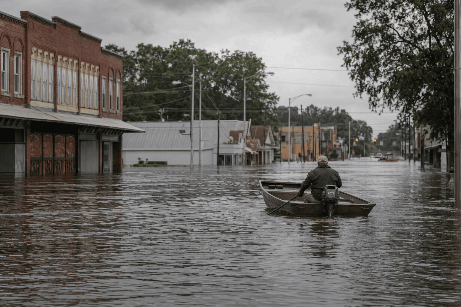
In Marks, the flood maps tied to the 2024 flood are still shaping how Quitman County thinks about repairs, drainage, insurance and land use. For families, farmers and property owners, the maps are not a relic of last year’s water. They are a live planning tool.
The Yazoo-Mississippi Delta Levee District has kept a printable Marks flood maps file visible under its Quitman County Flood of 2024 heading, alongside a calendar of regular public meetings. The district held meetings on Jan. 8, Feb. 12, March 12 and April 9, 2026, keeping flood discussion on the county’s civic calendar instead of letting it fade after the water receded.
That matters because the district’s mission is broad and practical. Its materials say it exists to protect people and property from Mississippi River floodwaters and from interior-stream flooding. Mississippi Levee Board information says the district is responsible for 212 miles of levee and 350 miles of interior streams, a reminder that flood protection here depends on a large, connected system, not a single ditch or one stretch of bank.
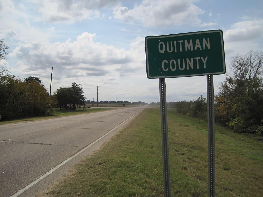
Quitman County’s own flood-hazard history shows why those maps still draw attention. State flood-risk materials cover Marks, Crowder, Falcon, Lambert and Sledge. They identify Quitman County as formed in 1877, with Marks as the county seat and a population listed at 7,678. The county’s flood-study timeline includes a study effective date of May 4, 2021, and Marks also hosted a Flood Risk Open House and a Preliminary DFIRM Community Coordination meeting on Feb. 7, 2019.

The wider risk picture has not eased. The National Levee Database says the Yazoo Backwater Levee Segment is about 28 miles long and the Yazoo RB-Whittington RB levee segment is about 65 miles long. It also says the 2011 flood was the flood of record for the Yazoo Backwater levee segment, which was loaded to 99 percent. In January 2025, the U.S. Army Corps of Engineers issued a Record of Decision for the Yazoo Backwater Area Water Management Project, a sign that the region’s flood-control debate is still active.
At the ground level, the danger remains easy to picture. NOAA’s Coldwater River at Marks gauge says numerous homes in northern Quitman County flood around 42 feet, and much of northern Quitman County floods around 41.5 feet. In April 2025, local reporting described the river reaching 40 feet at Marks, flooding farmland and threatening the Quitman County jail area, with Quitman County EMA Director Jimmy Mathews saying the river threatened the town.
For Quitman County, the maps on the levee district’s site now do more than document a past flood. They give residents and officials a common reference point for recovery, preparedness and the next round of infrastructure decisions.
This article was produced by Prism’s automated news system from verified source data, official records, and press releases, then run through automated quality and moderation checks before publishing. The system is built and supervised by the people who set the standards it runs under. Read our full AI policy.
Did this article answer your question?

