Rockwall County boosts severe weather readiness with StormReady status
StormReady gives Rockwall County residents a clearer warning map: IPAWS for broad alerts, Nixle for texts, and county tools to verify coverage.
Rockwall County residents have a warning chain to check before the next storm: IPAWS for broad emergency alerts, Nixle for text messages, and the county’s Alert Center and Notify Me tools for email or RSS updates. The county is also recognized by the National Weather Service as StormReady, a status built on planning, education, and awareness rather than waiting for sirens to sound. In a county where storms can move quickly across the Lake Ray Hubbard area and flood-prone roads can go from passable to blocked in minutes, knowing which system does what is part of the preparation.
StormReady means the county is planning ahead
The Rockwall County Office of Emergency Management’s mission is to preserve life and property and encourage economic recovery from disasters in Rockwall County. That mission is backed by the county’s StormReady designation, which places Rockwall County among communities recognized for strengthening local safety programs through advanced planning. StormReady communities use a grassroots approach to prepare for extreme weather, including tornadoes, winter storms, and other hazards that can hit with little warning.
The county is also treating preparedness as an ongoing public process, not a one-time campaign. Rockwall County OEM is currently asking residents to help complete a Hazard Mitigation Plan survey that takes about 10 minutes. Mitigation planning covers repeated flooding concerns and where county resources should go before the next major storm season.
How the alert system reaches different households
Rockwall County uses IPAWS, the Integrated Public Alert and Warning System managed by the Federal Emergency Management Agency, to send real-time emergency alerts. Those alerts can come from Rockwall County Office of Emergency Management, the Texas Division of Emergency Management, FEMA, and the National Weather Service. They can reach cell phones, computers, radio, TV, road signs, and sirens, which makes IPAWS the broadest layer of the county’s warning system.
Nixle is the alert layer residents have to sign up for themselves. People can opt in by texting RCOEM to 888777, and the county uses that channel for emergency alerts, road closures, and other important information. Major closures such as the I-30 bridge can trigger a Nixle message.
The county’s Alert Center and Notify Me tools add another layer for people who want email or RSS alerts. For households spread across Rockwall, Heath, Fate, Royse City, McLendon-Chisholm, Mobile City, and unincorporated parts of the county, the safest approach is to make sure at least one county alert system is active on every phone and one backup channel is active by email or browser. That way a warning is not dependent on one device, one app, or one family member seeing it first.
What the county wants residents to understand about weather hazards
Rockwall County’s weather pages are built to help residents read the difference between a watch and a warning, and to prepare for floods, severe thunderstorms, extreme heat, wildfires, winter storms, and outdoor warning sirens. On the county’s flood safety page, 6 inches of fast-moving floodwater can knock over an adult, and 2 feet can carry away most vehicles. That is why low-water crossings, neighborhood drainage, and roads near creeks and lake-adjacent runoff deserve attention even when the storm does not look severe from inside the house.
The county’s tornado climatology page for Rockwall County runs from 1880 to the present. NOAA’s Storm Events Database tracks tornadoes back to 1950, severe thunderstorms back to 1955, and most other weather events back to 1996.
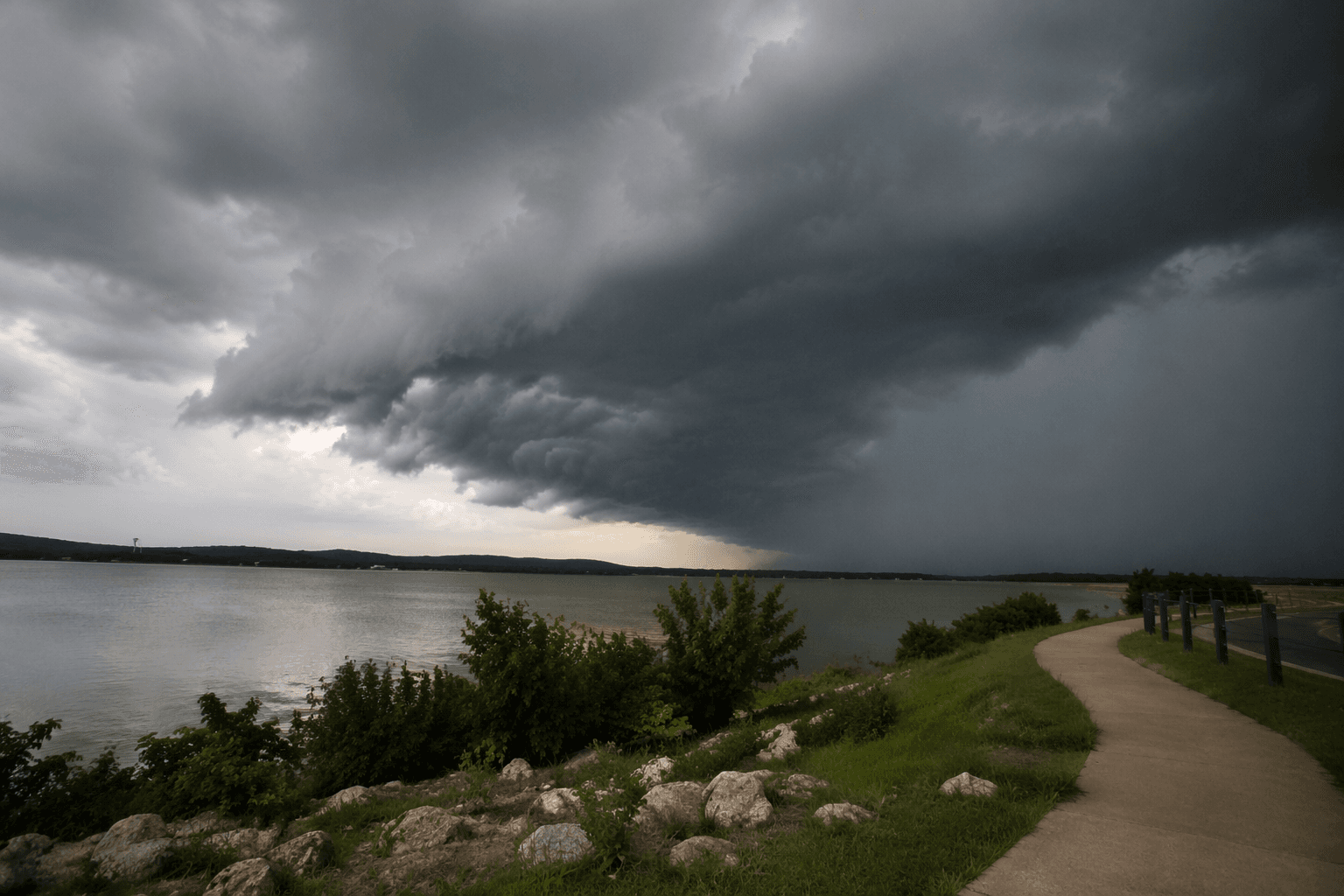
NOAA’s National Centers for Environmental Information counted 190 billion-dollar weather and climate disasters in Texas from 1980 through 2024, including 126 severe storm events, 9 flooding events, and 11 winter storm events.
What to do before the next storm hits
The fastest way to use the county’s system well is to set it up now, not after the radar starts lighting up. Residents can start with the county’s Make a Plan and Get Prepared pages, then add a few practical checks at home so warnings translate into action.
- Make sure one cell phone in the household is ready to receive emergency alerts through IPAWS.
- Text RCOEM to 888777 to enroll in Nixle for emergency alerts, road closures, and major traffic disruption notices.
- Turn on the county’s Alert Center and Notify Me options for email or RSS updates.
- Review the family route plan for storms, floodwater, and closures near the I-30 bridge and other low-lying roads.
- Learn the difference between a watch and a warning before severe weather arrives.
- Complete the county’s Hazard Mitigation Plan survey, which takes about 10 minutes.
This article was produced by Prism’s automated news system from verified source data, official records, and press releases, then run through automated quality and moderation checks before publishing. The system is built and supervised by the people who set the standards it runs under. Read our full AI policy.
Did this article answer your question?