Rockwall County seeks public input on long-range thoroughfare plan
Rockwall County is asking residents to help shape roads that could affect Rockwall, Royse City, Fate and McLendon-Chisholm for decades. The survey closes May 10 as planners map future corridors.
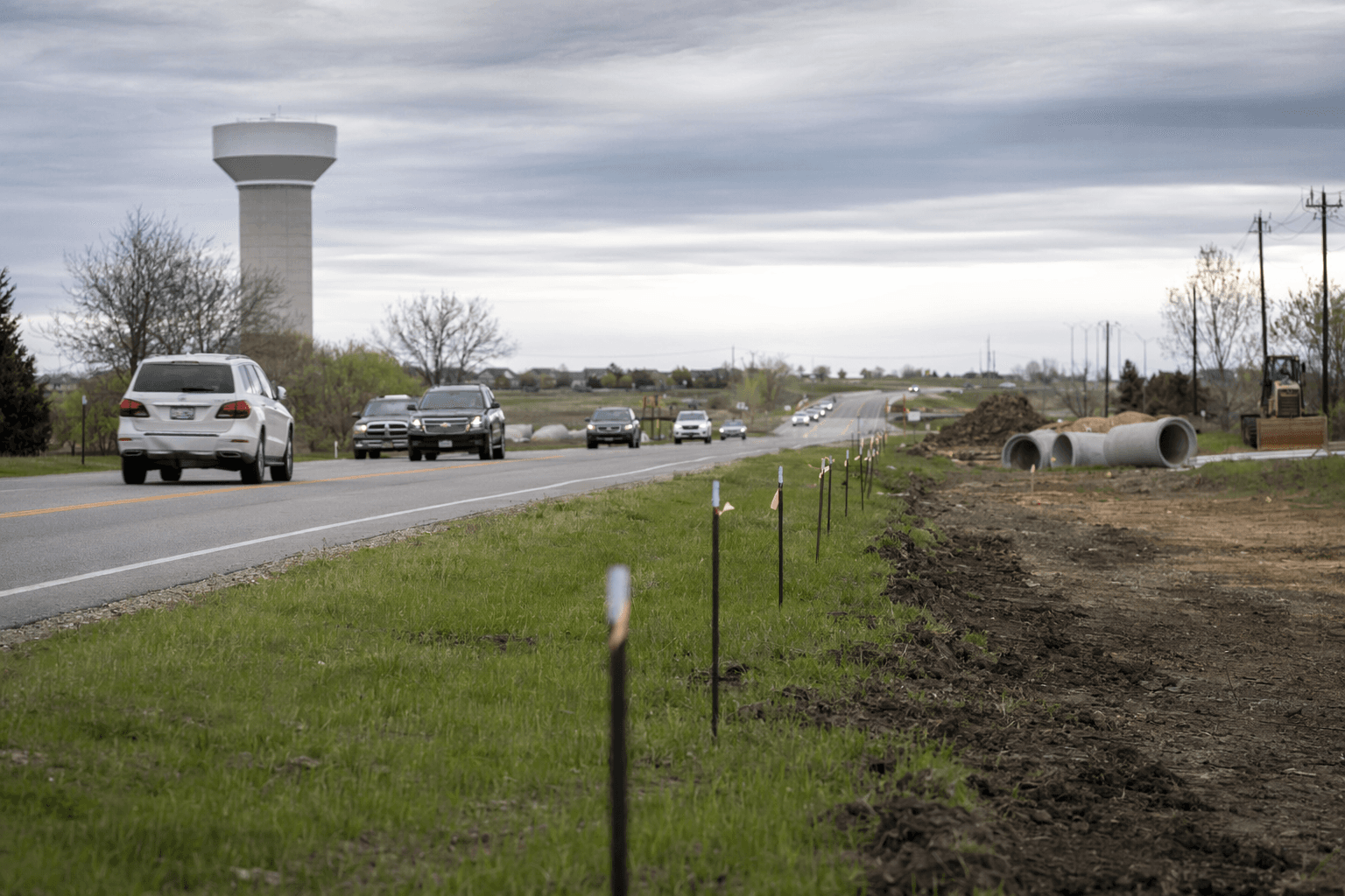
The roads that could carry Rockwall County’s next wave of growth are now being sketched in public view, and county leaders say residents have until May 10 to weigh in before those corridors harden into long-term commitments. The master thoroughfare update is aimed at deciding where future links, widening projects and preserved right of way should go as traffic pressure builds across Rockwall, Royse City, Fate, Heath and McLendon-Chisholm.
On April 30, Project Manager Brian Crooks and Planner Connor Roberts, working with Freese and Nichols, briefed the Rockwall County Commissioners Court on the update. County officials described the thoroughfare plan as a long-range blueprint, not a construction budget or a schedule for immediate road building. Its job is to identify possible roadway locations early enough for the county to preserve space before development makes later fixes harder and more expensive.
That timing matters in a county that has grown quickly. U.S. Census Bureau estimates put Rockwall County’s population at 140,738 on July 1, 2025, up from 107,819 in the 2020 census, a jump of 30.5% from the April 1, 2020 base. County transportation planners say a typical roadway can take about 10 years or more from the first planning stage to opening, which is why the current update began in January 2026 and is expected to wrap up in spring 2027.
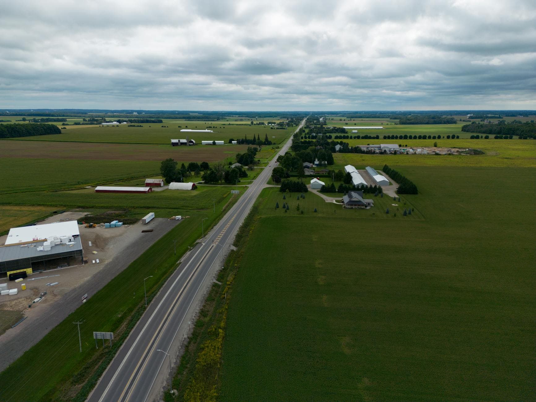
The work builds on the Rockwall County Strategic Plan 2050 and the 2019 thoroughfare plan, signaling that county leaders see the update as part of a broader growth-management strategy. The transportation page also points to the county’s ongoing outer-loop effort, including a feasibility study for a roughly 14.4-mile new location roadway from FM 2755 to SH 205. That corridor could affect areas near Fate, Royse City, McLendon-Chisholm and Rockwall, with possible frontage roads, general purpose lanes and shared-use bicycle and pedestrian paths within 500 feet of right of way.
The outer-loop idea is not new. KETR has reported that Rockwall County began outreach on possible outer-loop routes in 2005, and the North Central Texas Council of Governments included a regional outer loop in its Mobility 2030 plan in 2007. County officials have long pointed to limited north-south connectivity and traffic volumes that are outrunning existing capacity. With the survey still open and the April 30 update now public, the county is trying to get ahead of that pressure before the next subdivision, commute pattern or commercial corridor locks in the choices for everyone else.
This article was produced by Prism’s automated news system from verified source data, official records, and press releases, then run through automated quality and moderation checks before publishing. The system is built and supervised by the people who set the standards it runs under. Read our full AI policy.
Did this article answer your question?
