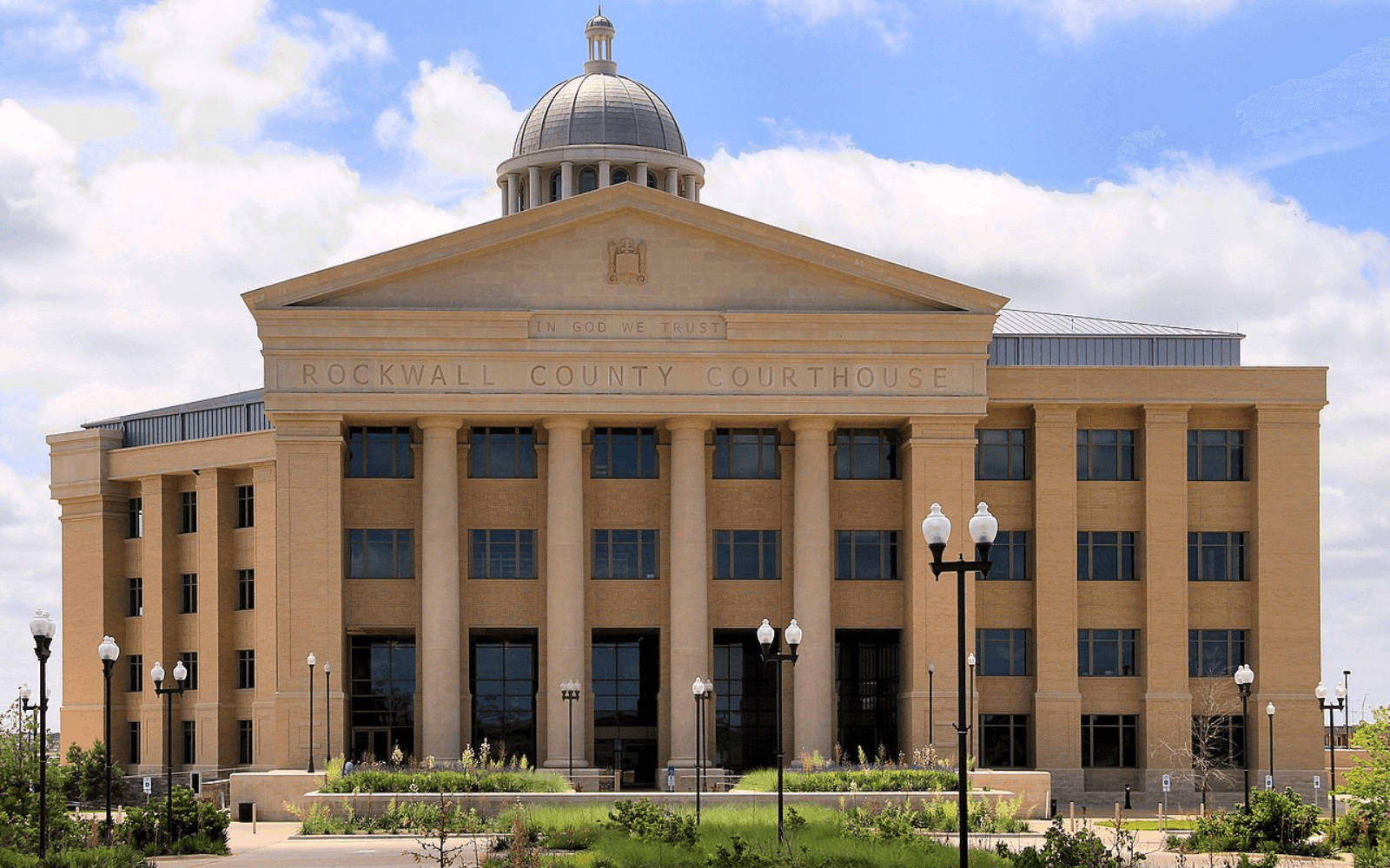
Rockwall County thoroughfare plan guides future roads and growth
Rockwall County is redrawing its road map now, and the changes will steer where widening, access changes and development pressure land first.
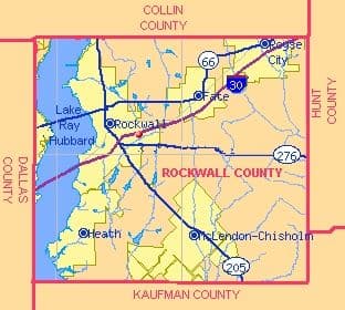
The 2027 Rockwall County Thoroughfare Plan update will determine which corridors get protected now and which neighborhoods in Rockwall, Fate, Royse City, Heath, McLendon-Chisholm and the county’s unincorporated areas adjust later.
What the thoroughfare plan actually does
A thoroughfare plan is not a lane-closure alert or a short-term traffic fix. It is the county’s long-range transportation blueprint, the document that identifies current and future roadway needs and recommends ways to improve mobility, increase safety, support economic growth and manage development. In Rockwall County, that means the map helps decide where future arterials and collectors belong, where right-of-way must be preserved and how road networks connect across city limits.
A new subdivision in one part of the county can affect access, congestion and emergency response in another, especially when Rockwall, Fate, Royse City, Heath, McLendon-Chisholm and the unincorporated areas all feed into the same travel system. The county’s adopted plan, Rockwall County Thoroughfare Plan Final adopted 2-27-19, is the baseline for those decisions.
Why the 2027 update matters now
Rockwall County expects the process to last about 15 months. The update builds on the 2019 plan and is meant to preserve future options before development makes them harder, or more expensive, to secure.
The timing reflects how fast the county has grown. In 2017, when the last county thoroughfare-plan efforts began, the population was over 96,700. By 2026, county materials put the number around 135,500, a jump that helps explain why the county is looking ahead to 2050 instead of reacting block by block.
How the update is being built
Rockwall County partnered with Freese and Nichols, Inc., an engineering and planning firm, to update the plan. The Rockwall County Commissioners Court approved a Professional Services Agreement with Freese & Nichols on Dec. 17, and environmental clearance was received through an EA on Aug. 27, 2019.
Public input is part of the current round as well. The county activated its thoroughfare-plan survey on March 23, 2026, and it concluded on May 10, 2026. That window gave residents a chance to weigh in on where future road connections should go, which corridors should be protected and where growth is likely to squeeze the existing network first.
The corridors residents will feel first
Specific roads are already in play, including FM 552, SH 276 East, FM 549, SH 66 interim intersection improvements and future SH 205 Middle. They are the places where county decisions about widening, access and intersection work can change school runs, retail access and the time it takes to move between neighborhoods and job sites.
When a thoroughfare plan reserves space along a corridor, it can shape everything from subdivision design to driveway placement. It can also influence which stretches are more likely to face widening later, because once development fills in around a road, acquiring right-of-way becomes harder and costlier.
What it means for commute times, access and spending fights
If a corridor is identified for future improvement, more traffic can eventually be concentrated there, while parallel roads may be pushed to carry local trips or collector traffic. That can change the daily rhythm on familiar routes through Rockwall County, especially where city streets connect with county and state roadways.
It also shapes access to property. Landowners and developers pay close attention to where the county is reserving corridors, because future right-of-way can affect site layouts, entrances and long-term property use. Residents often first notice that process when a piece of land seems to sit untouched near a future road line, or when a subdivision is built with a street pattern that leaves room for a road connection later.
Once the thoroughfare plan identifies where growth is headed, public spending arguments tend to move toward which corridors get improved first, which intersections need fixing and where county money should go before congestion becomes more expensive to solve. That is already visible in the county’s planning consortium reports, which track road work in places that matter to daily travel.
Part of Rockwall County’s larger 2050 planning push
The thoroughfare plan is only one piece of Rockwall County’s broader planning effort. The county adopted Strategic Plan 2050 in early spring 2025 after extensive community outreach and with consulting support from Baker Tilly and Freese and Nichols. That puts roads, land use and infrastructure into a longer countywide framework, one that connects transportation planning with how Rockwall County expects to grow across multiple jurisdictions.
This article was produced by Prism’s automated news system from verified source data, official records, and press releases, then run through automated quality and moderation checks before publishing. The system is built and supervised by the people who set the standards it runs under. Read our full AI policy.
Did this article answer your question?