Corrales Bosque Preserve links Rio Rancho and Corrales trail networks
Corrales Bosque Preserve is a 662.4-acre gateway to Rio Rancho and Corrales trails, with short connector loops and a longer 12.9-mile bosque circuit.
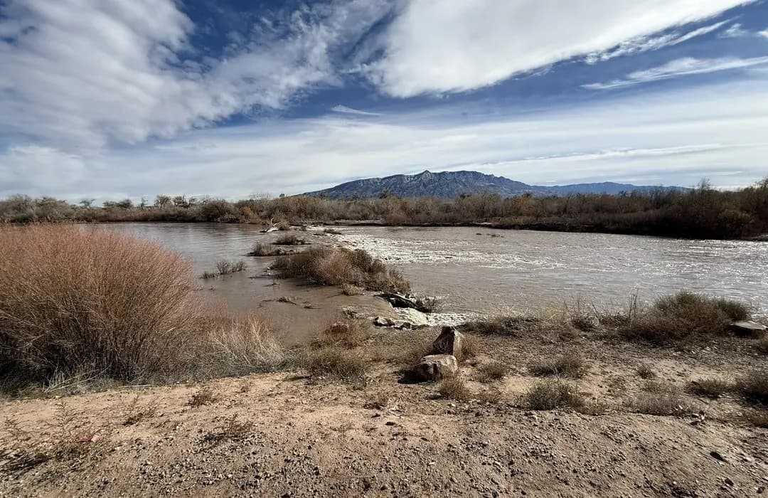
Corrales Bosque Preserve covers 662.4 acres on the west side of the Rio Grande inside the Village of Corrales, and its trail links reach into the larger Rio Rancho bosque network.
Where the preserve fits in the local trail map
For residents deciding where to start, think of Corrales Bosque Preserve as the middle piece of a larger bosque system rather than a stand-alone park. The Rio Rancho/Corrales Bosque Connector Loop is a multi-use trail connecting the Corrales Bosque Trail System with the Rio Rancho Bosque Trail System via a hillside trail or access route. AllTrails lists that connector loop at 0.7 miles with about 55 feet of elevation gain, which makes it a practical option for a short out-and-back, a family stroll, or a quick bike link between sides of the river corridor.
The preserve loop is much larger. AllTrails lists Corrales Bosque Preserve as a 12.9-mile loop with 29 feet of elevation gain and an estimated 4 to 4.5 hours to complete. That flat profile makes the area useful for casual walkers, runners, cyclists, and birders who want distance without a big climb.
Best starting points for different outings
If you want the simplest walk, start with the preserve’s official Village of Corrales information page and use that as your reference for current directions, rules, and land-management guidance. The village also maintains a separate research permit application for the preserve.
If you want to connect Corrales and Rio Rancho, the short connector loop is the most efficient choice. The Rio Rancho side includes bosque amenities such as North Beach Bosque Trail and Willow Creek Bosque. For longer, continuous riding or walking, the broader corridor can tie into the Paseo del Bosque Trail and related routes near Alameda Bridge West and Hwy 528.
What kind of outing each segment fits
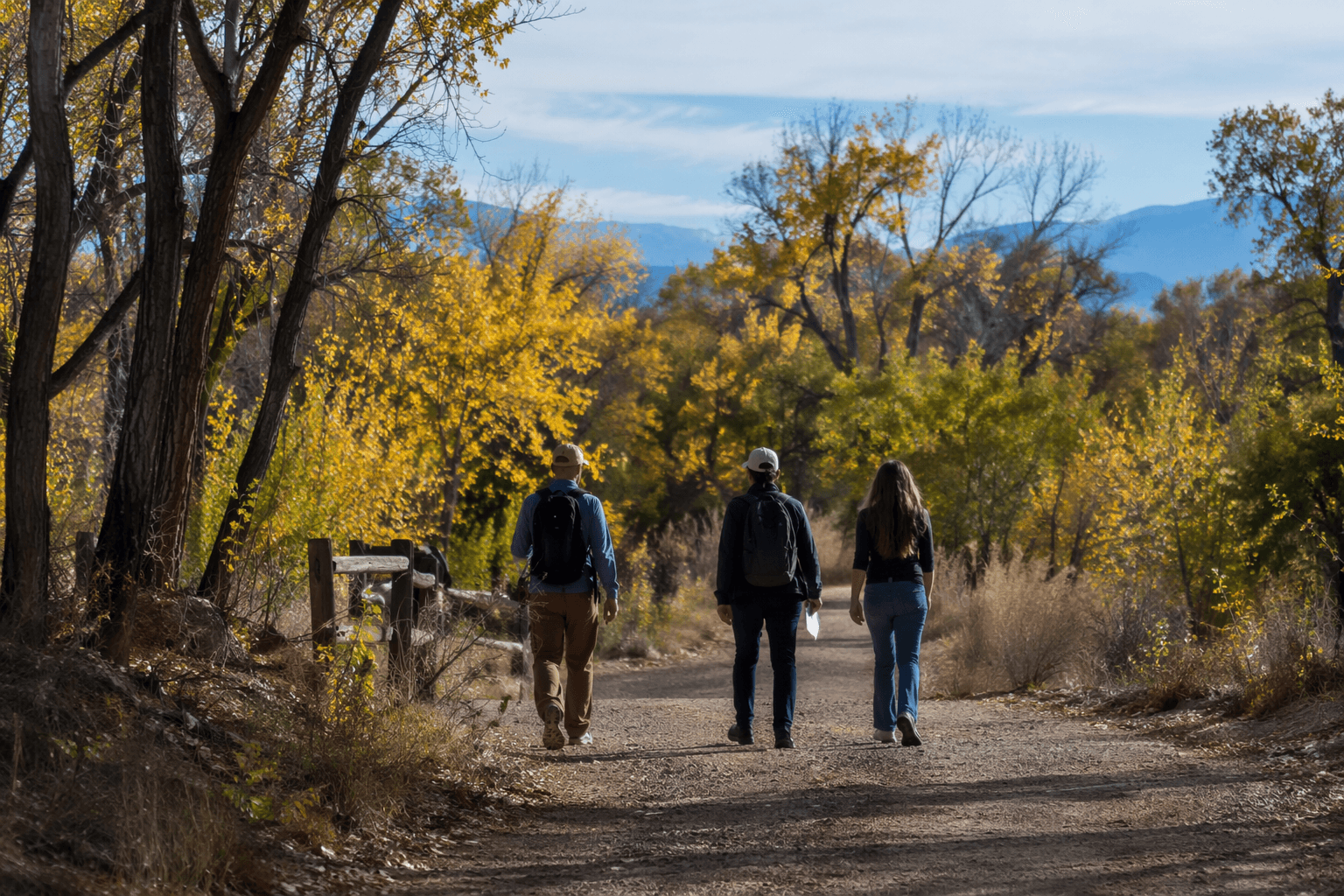
The long Corrales Bosque Preserve loop works best when you want a half-day outing with enough room to spread out. Its 12.9-mile length suits steady walkers, endurance runners, and cyclists who want a flat route with room to log miles. The connector loop, at 0.7 miles and 55 feet of gain, is better for a short family outing, a transition between trail systems, or a quick birding stop that does not require a major time commitment.
TrailLink lists more than 88 trails covering 233 miles in Corrales. In practice, that means you can choose a short bosque visit or build a longer route by linking into nearby corridors.
Why the bosque matters beyond recreation
Corrales Bosque Preserve is also a habitat corridor. Corrales is a centuries-old community. Elected officials and voters backed open-space preservation efforts in 1993.
In December 2021, work in the Bosque Preserve was set to give wildlife continuity of habitat, and a project targeted invasive plants and wildfire risk along the Corrales bosque.
Birding, seasons, and what to watch for
The bosque is one of the strongest birding landscapes in central New Mexico. More than 300 bird species have been recorded along the Rio Grande, according to a Corrales birdwatching guide, and local birding resources highlight species such as sandhill cranes and ducks. That makes early morning and cooler shoulder seasons especially appealing for birders who want quieter trails and more active wildlife.
Seasonal conditions matter here. The preserve’s low elevation gain makes it accessible, but the bosque corridor can change fast with mud, heat, and river-adjacent conditions. On muddy days, stick to established paths and avoid cutting corners through soft ground or riparian vegetation. In hot weather, choose shorter stretches such as the 0.7-mile connector or limit your time to the coolest parts of the day, since the flat route can feel exposed even when it looks easy on a map.
How to use the preserve without damaging it
The simplest rule is to stay on designated trails and use the official access points tied to the Village of Corrales and Rio Rancho trail system. The preserve is a managed open-space corridor, not a place for improvising new routes or widening unofficial turns.
- Keep bikes on multi-use routes and respect hikers, runners, and birders sharing the same corridor.
- Leave muddy sections alone rather than creating a bypass that scars the river edge.
- Watch for signs of seasonal wildlife activity, especially in quieter stretches of the bosque.
- Use the connector and adjacent trail amenities to complete your route instead of expanding into sensitive habitat.
A few practical habits make a difference:
This article was produced by Prism’s automated news system from verified source data, official records, and press releases, then run through automated quality and moderation checks before publishing. The system is built and supervised by the people who set the standards it runs under. Read our full AI policy.
Did this article answer your question?