Golden Open Space offers rim views and rugged mesa trails
Golden Open Space pairs rim views with mesa-and-arroyo terrain just north of Cedar Crest, giving Sandoval County hikers and riders a quieter East Mountains destination.
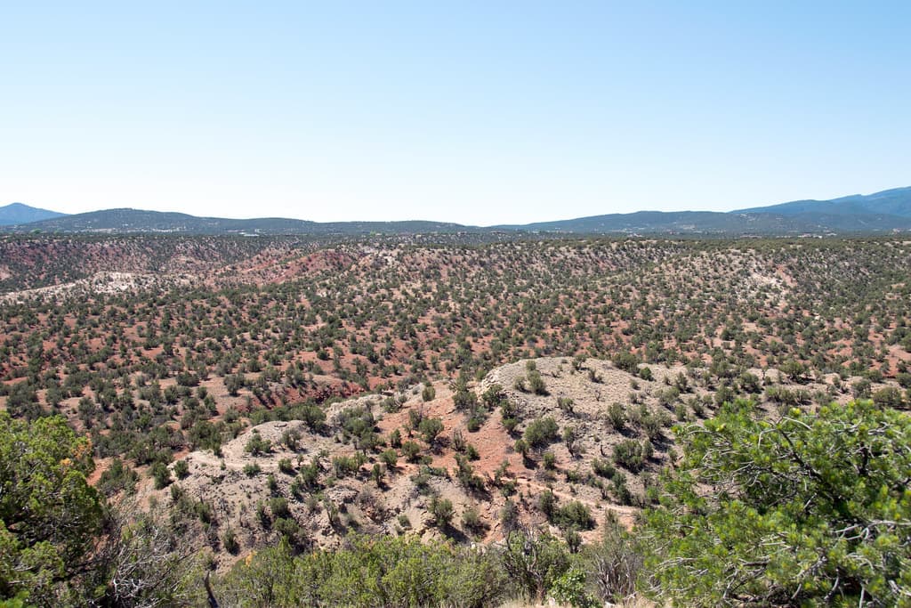
Just north of Cedar Crest, Golden Open Space spans 1,180 acres split between a north mesa and a south mesa, with a heavily eroded arroyo complex cutting between them. The preserve’s trail system feels more remote than the county’s busier recreation spots, and the walk is as much about reading the landscape as covering miles. If you want rim views, rock formations, and a trail system that feels more remote than the county’s busier recreation spots, this is the terrain to look at first.
What the landscape feels like on the ground
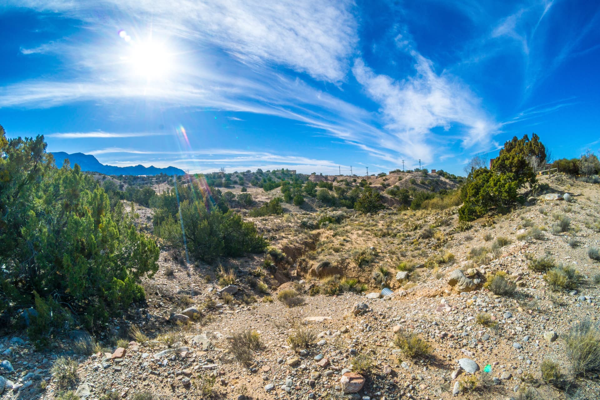
Golden Open Space is not a flat park and it is not a single trail corridor. The preserve’s defining feature is the contrast between the flat-topped mesas and the multicolored wash country below, where several red and yellow sandstone arroyos separate the high ground. That mix gives visitors the wide-open views people come to Albuquerque’s East Mountains for, with the added texture of exposed rock, erosion channels, and changing footing along the arroyos.
The New Mexico State Lands Office maps the preserve in Section 16, Township 12 North, Range 6 East, just north of Cedar Crest. That puts it squarely in the public-land geography that helps define the Sandia foothills and the broader East Mountains, with the Sandia Mountains rising nearby and the county’s mesa country stretching outward in layers.
Who manages it and why that matters
Golden Open Space sits inside the broader public open-space system managed by the City of Albuquerque Parks and Recreation Division in Sandoval County. It is part of a larger network of lands that the city manages for access, conservation, and recreation across county lines.
The mesas and arroyos that make the preserve memorable are also the features most likely to erode if use is unmanaged.
Which route fits your day
For hikers, Los Duendes Trail is the name to know. AllTrails lists the Mesa Trail Loop and Los Duendes Trail at 5.7 miles with 419 feet of elevation gain, a distance that puts it in the moderate range for a half-day outing rather than a quick stroll. Hiiker lists the Arroyo Seco and Los Duendes Loop Trail at 9.2 kilometers, or about 2 hours 5 minutes, which gives a useful sense of the loop options available in the preserve.
That range makes Golden Open Space useful for different kinds of visitors. A beginner who wants open space and big views without a major climb can focus on shorter loop segments and keep the outing manageable. A family that wants a longer ramble can plan for a few hours on the ground, especially if the group wants time to stop at the rim and take in the rock layers and arroyo cuts. The moderate grade and the exposed mesa setting make it a better fit for hikers who are comfortable with uneven terrain than for anyone expecting a smooth city path.
What mountain bikers should expect
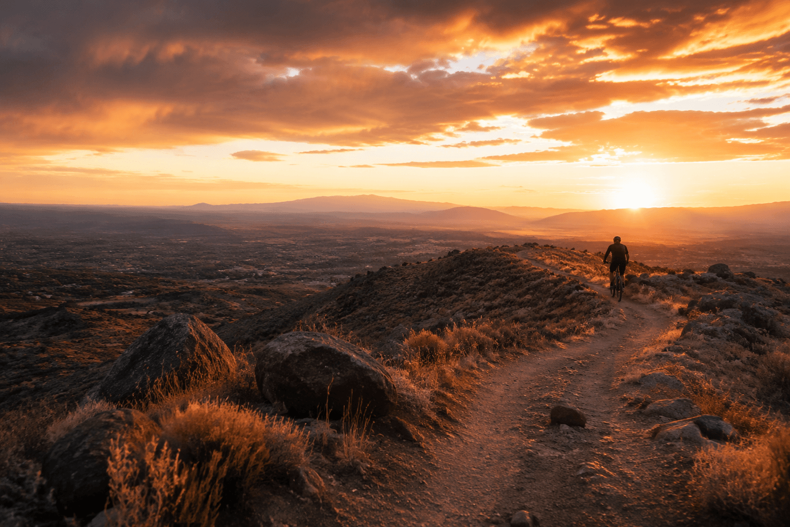
Golden Open Space is not only a hiking destination. Trailforks lists a Golden Open Space mountain biking route of about 11 miles with a maximum elevation of 6,392 feet and roughly 1,004 feet of climbing. Riders should expect a route with enough climbing to keep the pace honest, but not a high-alpine grind. The preserve’s mesa-and-arroyo layout naturally lends itself to longer traverses and mixed-surface riding.
The same topography that makes the area attractive also demands attention. Arroyos can concentrate runoff and create loose, uneven footing, while mesa edges bring wind exposure and wide-open sightlines that can make distance feel shorter than it is. Riders and hikers alike should plan for that combination rather than assuming the route will behave like a typical neighborhood trail.
Who should go, and when to choose something else
Golden Open Space works best for people who want a more subdued East Mountains outing: hikers who like geology, trail users who prefer open sightlines, and weekend visitors looking for a quieter destination than the region’s more famous recreation corridors. The area is remote and among the least visited of the City of Albuquerque open spaces, and that sense of distance is part of the experience.
The same remoteness also means it is better suited to self-sufficient visitors. The preserve’s mesa country is exposed, and the arroyos cut through terrain that can feel more rugged than the trail names suggest. Bring water, sun protection, and footwear that handles loose ground, especially if you plan to connect loop segments or spend time along the rims. If you are taking children or newer hikers, keep the route modest and treat the arroyos as the main obstacle rather than the distance alone.
What the preserve says about Sandoval County
It is a preserve with a fixed acreage, a clear location north of Cedar Crest, and a recognizable trail network where geology and public access intersect every day.
Stewards of Golden Open Space is advocating for Golden Open Space preservation and references an open-space master plan update and 2026 educational field trips.
This article was produced by Prism’s automated news system from verified source data, official records, and press releases, then run through automated quality and moderation checks before publishing. The system is built and supervised by the people who set the standards it runs under. Read our full AI policy.
Did this article answer your question?