Placitas anchors Sandoval County’s outdoor adventure scene
Placitas gives Sandoval County an easy trail basecamp with quiet open space, a federal trailhead and routes for hikers and riders. Summer sun and high UV make an early start smart.
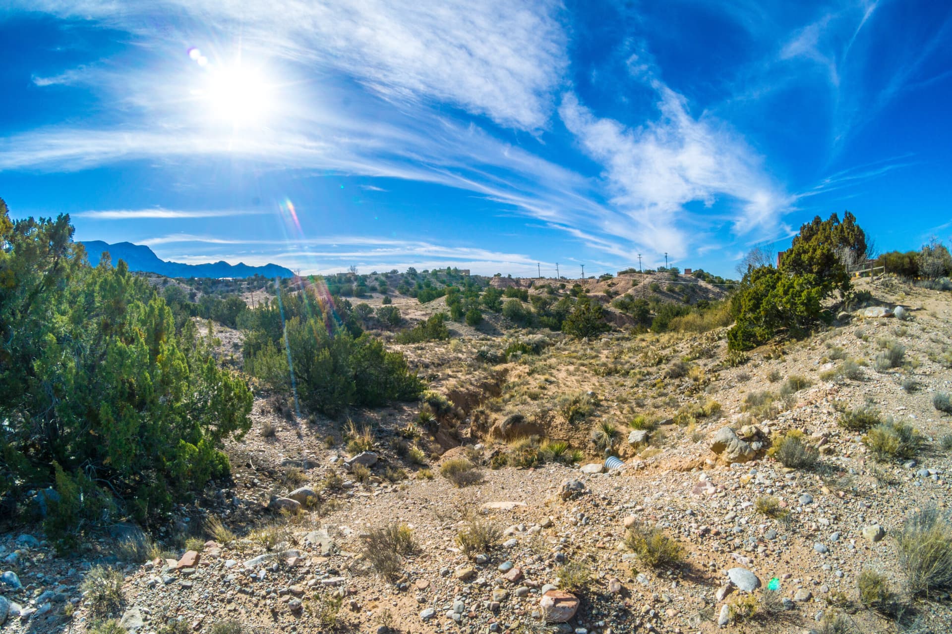
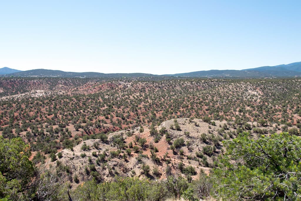
Placitas sits just north of Bernalillo, between Albuquerque and Santa Fe, on the northern slopes of the Sandia Mountains. It gives Sandoval County a fast, high-desert launch point for a trail day that does not require a long haul or a complicated plan. Sandoval County calls Placitas Open Space “Your Gateway to Adventure,” and that label fits a community that blends mountain views, quiet open space and quick access from the Albuquerque-Santa Fe corridor.
Why Placitas works as a basecamp
At roughly 6,000 feet, it has the kind of open sky and mesa-edge scenery that makes even a short outing feel bigger than a neighborhood walk. Niche lists the population at 4,223, and Data USA puts the 2024 median property value at $562,100 with a homeownership rate of 93.9 percent, a profile that reflects a small, mostly residential community rather than a dense commercial recreation strip.
For Sandoval County residents, Placitas is already part of the county’s outdoor brand rather than a side note. Sandoval Tourism groups it with trail access, bird watching, dark skies and stargazing, and mountain biking. The community works as a practical starting point for a morning hike, a sunset drive or a longer day outside.
The trail network is broad enough for a short outing or a full day
Placitas is not limited to one trailhead or one style of recreation. AllTrails lists 40 scenic trails in the Placitas area and 9 easy hiking trails, while Trailforks maps Placitas North Open Space & BLM with 58 mountain bike trails, 6 e-bike trails, 31 horse trails, 57 hike trails and 57 trail-running trails. Trail names such as Northeast Bench, Southeast Loop, Chamisa and Alta Vista Connector show how layered the network is once you start exploring the area.
For an easy-to-follow first outing, the Placitas Loop on FR 445 is one of the clearest options. On AllTrails, it is a 6.2-mile loop with 679 feet of elevation gain, about 2.5 to 3 hours to complete, easy to park, not crowded, dog-friendly and in great conditions.
If you want a shorter introduction, the Albuquerque-Placitas open-space area has a family-friendly easy hike with just 98 feet of elevation gain.
What the terrain asks of you
Little shade runs along the path, so sun protection and plenty of water belong in your pack before you leave home. On July 26, Placitas had a daily max UV index of 12, which is extreme.
The high desert can also change fast. A trail may feel fine one hour and punishing the next if wind, cloud cover or temperature shifts across the Sandia foothills. The AllTrails page for Sandia Cave Trail warns that the route can be inaccessible at times because of snow and instructs hikers to turn around during inclement weather.
Start early, carry more water than you think you need and pick a route that matches the conditions of the day.
Where to start, and why the access points matter
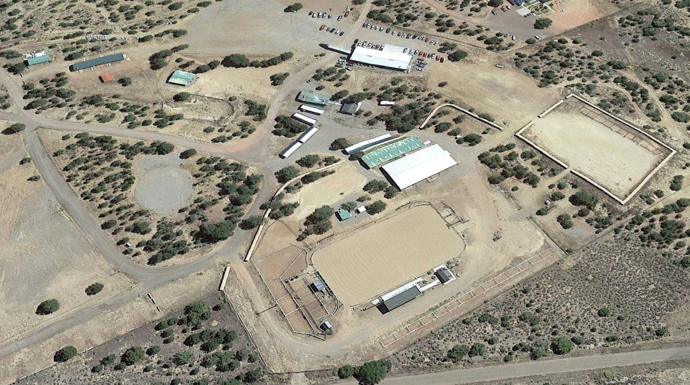
The U.S. Forest Service maintains the Placitas Trailhead for Cibola National Forest and National Grasslands, giving the community a recognized entry into the larger recreation network.
Parking and crowd levels are part of why this corner of Sandoval County feels usable on short notice. On AllTrails, the Placitas Loop is labeled “easy to park” and “not crowded.” That is especially useful for families, casual hikers and anyone trying to squeeze in a quick outing before work or before sunset. Some better-known trailheads in the region can fill quickly on good-weather days.
The community history behind the open space
Placitas’ outdoor identity is tied to local stewardship, not just scenery. The City of Albuquerque acquired what became Placitas Open Space from the Bureau of Land Management in 1966 under the federal Recreation and Public Purposes Act, which requires recreation use. In 1995, after residents opposed a proposal for a shooting range on the property, community members took a more active role in managing the open space.
That history sits on top of a much older land story. One San Antonio de las Huertas account traces it to 1765, when Juan Gutierrez sought land on behalf of nine families and Governor Tomás Vélez Cachupín had the area checked on Sept. 28, 1765. Other local histories point to 1767, when 21 families received land from Spain and founded San Jose de las Huertas, while still others trace the story to early Native American settlements.
The Las Placitas Association works to protect open spaces, wildlife, watersheds and the area’s environmental and cultural richness for today and future generations.
This article was produced by Prism’s automated news system from verified source data, official records, and press releases, then run through automated quality and moderation checks before publishing. The system is built and supervised by the people who set the standards it runs under. Read our full AI policy.
Did this article answer your question?