Sandoval County guide highlights lakes, trails and local road trips
Sandoval County's lake-and-trail loop puts Cochiti, Valles Caldera and the Jemez within a weekend plan, with app-based trip planning and clear access rules.
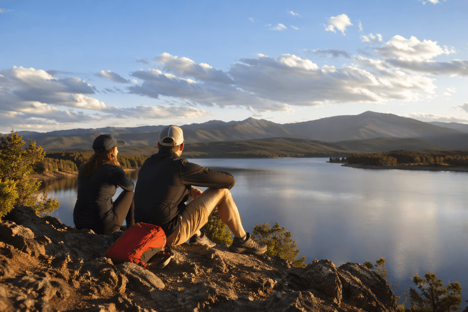
Sandoval County stretches 3,714 square miles from the Rio Grande corridor into volcanic country and high-country meadows. That range fits a weekend loop: lake time at Cochiti, trail miles in the Jemez, and a trip-planning app that can keep the whole outing inside county lines. For families in Rio Rancho, Bernalillo and nearby communities, the appeal is practical as much as scenic, with destinations spread across the county.
A county sized for local road trips
With about 160,000 residents, Sandoval County spans the kind of terrain that makes outdoor planning matter. The county was created in 1903 from the northern part of Bernalillo County, and its current growth has made the contrast between development and wildlands even sharper. The county’s economic development department includes a Tourism Division, and the El Zócalo Plaza Tourism & Event Center serves as the visitor hub by appointment.
Sandoval County markets itself as “The Heart of New Mexico,” pairing that brand with outdoor adventures, culture and long stretches of sunlight. It presents San Gregorio Lake, the Jemez trail system, Valles Caldera and Cochiti Lake as parts of the same local itinerary.
Valles Caldera gives the county a national-caliber day trip
Valles Caldera National Preserve is one of the clearest examples of how much terrain the county can pack into one drive. The preserve formed about 1.2 million years ago after a volcanic eruption created a 14-mile-wide circular depression, and the landscape still reads like a geologic cross-section, with huge mountain meadows, abundant wildlife and meandering streams. The preserve also protects ancestral Native homelands and ranching history.
Thousands of people visit every year. A private vehicle costs $25 for seven consecutive days, while entry for a person arriving on foot or by bicycle is $15. Valles Caldera also supports fishing in trout habitat, along with hiking, biking, skiing and snowshoeing, which makes it one of the few county destinations that works in all four seasons. Its app supports offline trip planning in a landscape where cell service can be uneven.
The Jemez corridor is the county’s most versatile trail country
The Jemez Ranger District of the Santa Fe National Forest brings red rock formations, volcanic landscapes, hot springs, scenic drives and a long history of cultural significance into Sandoval County’s outdoor mix. Visitors can use the same road system for hiking, soaking, sightseeing or a slower drive through the mesas and canyons.
The Jemez Mountain Trail Scenic Byway turns that geography into a structured route. Its stops include Jemez State Monument, Bandelier National Monument, Soda Dam, Battleship Rock and the Gilman Tunnels, along with the kind of historic landscape that links ancient Indian ruins, an Indian pueblo, logging, mining and ranching heritage. Jemez Springs and Cuba serve as familiar anchors for a day out in the county’s northwestern reaches.
Cochiti Lake is the easiest straight-line recreation stop
Cochiti Lake is the county’s most practical water destination. Managed by the U.S. Army Corps of Engineers, the lake sits within the boundaries of the Pueblo de Cochiti Nation on the Rio Grande about 50 miles upstream from Albuquerque, which puts it squarely in weekend-trip territory for the metro area. The reservoir supports camping, boating, hiking, fishing and water sports, making it one of the most versatile family stops in the county.
Day-use access costs $5, or $40 for an annual pass. Camping is by reservation only, and first-come, first-served sites are no longer available. Wind-warning lights near the boat ramps signal that lake conditions can change quickly even on a short drive from home.
How to plan the trip without leaving the county
Sandoval County’s See Sandoval app helps visitors navigate the county. It helps visitors plan vacations, find attractions, view nearby events and build custom itineraries. For a family trying to keep fuel costs, entry fees and drive times in check, it can map a trip without leaving the county.
This article was produced by Prism’s automated news system from verified source data, official records, and press releases, then run through automated quality and moderation checks before publishing. The system is built and supervised by the people who set the standards it runs under. Read our full AI policy.
Did this article answer your question?