Severe storms, 50 mph winds and hail threaten Seminole County
Southwestern Seminole County faced 60 mph gusts and hail as storm warnings spread across Central Florida, with roofs, cars and trees in the damage path.
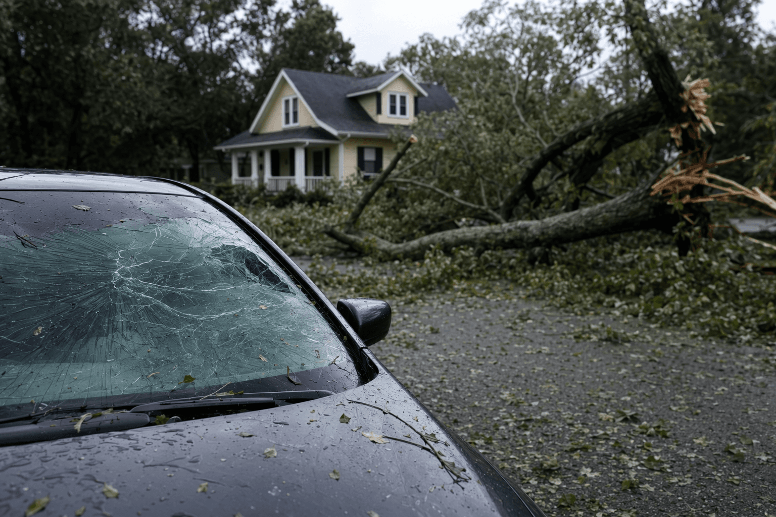
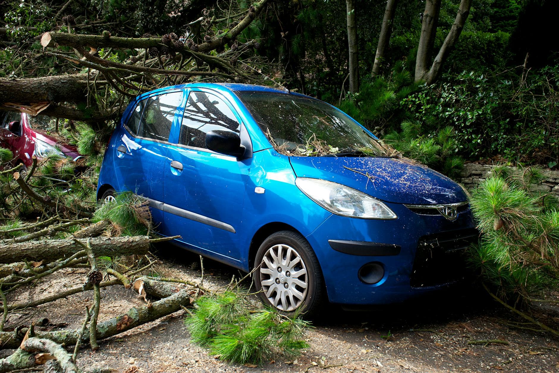
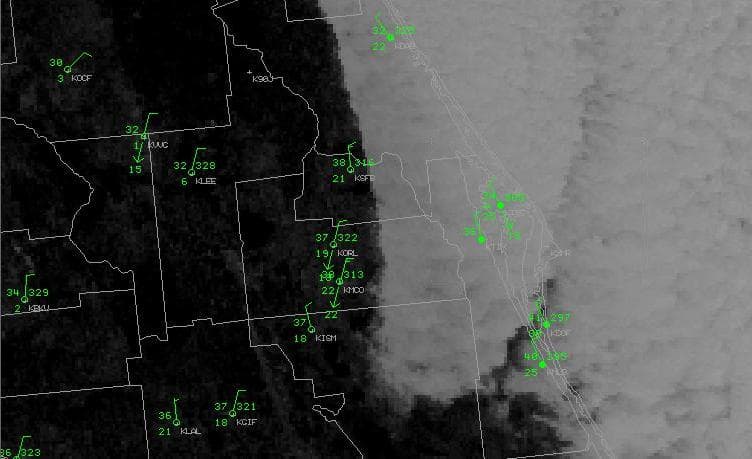
Roof shingles, parked cars and tree limbs were in the crosshairs in Seminole County as severe thunderstorms swept across Central Florida with wind gusts listed at 50 to 60 mph and hail large enough to damage vehicles. The most immediate threat in Seminole County was along and near I-4, where the National Weather Service in Melbourne said the stronger storms were more likely to produce damaging wind gusts than a typical afternoon shower.
At 1:30 p.m. EDT on May 2, the Weather Service issued a severe thunderstorm warning for southwestern Seminole County and west-central Orange County, calling for 60 mph wind gusts and penny-size hail. A second warning at 2:20 p.m. covered southeastern Seminole County, northwestern Brevard County and southeastern Volusia County, with the storm located near Maytown, or near Scottsmoor, moving east at about 30 mph. That warning cited radar-indicated severe weather, 60 mph gusts and quarter-size hail, and warned that hail could damage vehicles while wind could damage roofs, siding and trees.
Forecasters said the broader setup was more than a routine Central Florida rain burst. The National Weather Service in Melbourne described a marginal to slight risk for severe storms through roughly 11 p.m., especially near and north of I-4, with a 5% to 15% chance of damaging wind gusts and a smaller chance of large hail and a tornado or two. All of Central Florida was under a tornado watch until 6 p.m., a sign that the storm line had regional reach beyond Seminole County alone.
Seminole County emergency managers said residents should rely on multiple warning channels, including NOAA weather radios, text and media notifications, cable interrupt alerts and reverse calling systems. The county also tells residents to register for emergency weather alerts through AlertSeminole before the next storm line moves in, especially if phones or home radios are the only way warnings reach them.
The concern is not abstract. Seminole County was struck by an EF2 tornado on March 10, 2025, with peak winds around 115 to 120 mph. That tornado damaged several homes in Longwood and Lake Mary, destroyed at least one home in Longwood and caused no injuries, a reminder that even when storms avoid the worst case, property damage can be severe and fast-moving in this county.
This article was produced by Prism’s automated news system from verified source data, official records, and press releases, then run through automated quality and moderation checks before publishing. The system is built and supervised by the people who set the standards it runs under. Read our full AI policy.
Did this article answer your question?


