Flood advisory issued for Cloquet River, minor flooding possible in St. Louis County
Bear Island Road and low-lying spots near Island Lake were the main concern as rain pushed the Cloquet River toward flood thresholds in St. Louis County.
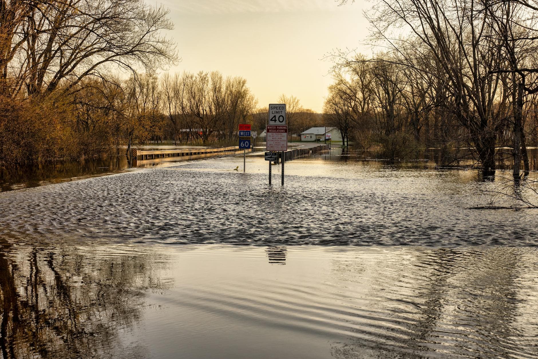
Bear Island Road, low-lying riverfront properties, and cabins upstream of Island Lake were the places to watch as the Cloquet River rose after heavy April rain in St. Louis County. The National Weather Service in Duluth issued a flood advisory for the river basin in St. Louis, Lake and Cook counties, warning that minor flooding was possible in low-lying and poor-drainage areas and that even small rises mattered along this stretch of water.
The advisory covered the Cloquet River upstream of Island Lake and included the Gooseberry River, Stewart River, Big Sucker Creek, Encampment River, Knife River and Beaver River. On April 23, forecasters said 0.5 to 2 inches of rain had already fallen, with up to another half-inch possible. A later extension that night raised the total rainfall estimate to 1 to 2.5 inches, with as much as 1 inch more still possible, keeping the advisory in effect into early April 24.
That rain came on top of a spring pattern already turning rivers higher. In its spring flood outlook, the weather service said the ground had started to thaw and runoff into soils and area rivers had been observed on warm days. Its weather story also called for widespread light to moderate rain Monday night into early Tuesday morning, with the heaviest rain rates expected Monday morning through Monday afternoon, a setup that could keep river levels climbing into Tuesday.
At Island Lake, the Cloquet River gauge gives a clear picture of how quickly conditions can shift. Normal pool sits at 1,368.8 feet. At 1,370.4 feet, the north dike begins to overtop. By 1,373.8 feet, pond levels are near low spots in the main dam embankment, and increasing reservoir rise can affect Bear Island Road. That means a few inches of rain, combined with saturated ground, can turn a routine spring swell into a road and property problem.
The warning carried extra weight because the Cloquet River has a history of punishing floods. The weather service’s June 18, 2024 flood summary said water along the river rose to levels that surpassed 2012, with roads flooded and residential properties inundated. The June 2012 Northland flood brought 5 to 10 inches of rain to much of the region and led to emergency declarations in several Minnesota and Wisconsin communities. In that context, this advisory was minor on paper, but it still served as an early signal that St. Louis County could be facing a more disruptive flood season if rain keeps landing on thawing, saturated ground.
This article was produced by Prism’s automated news system from verified source data, official records, and press releases, then run through automated quality and moderation checks before publishing. The system is built and supervised by the people who set the standards it runs under. Read our full AI policy.
Did this article answer your question?