Heavy Rain Floods North Shore, Duluth and Hibbing Near April Records
Flooding and trail closures hit the North Shore as Hibbing logged 1.66 inches in a day, its second-highest April total, and Duluth’s month stayed unusually wet.
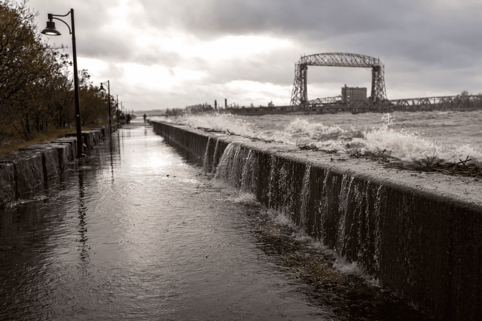
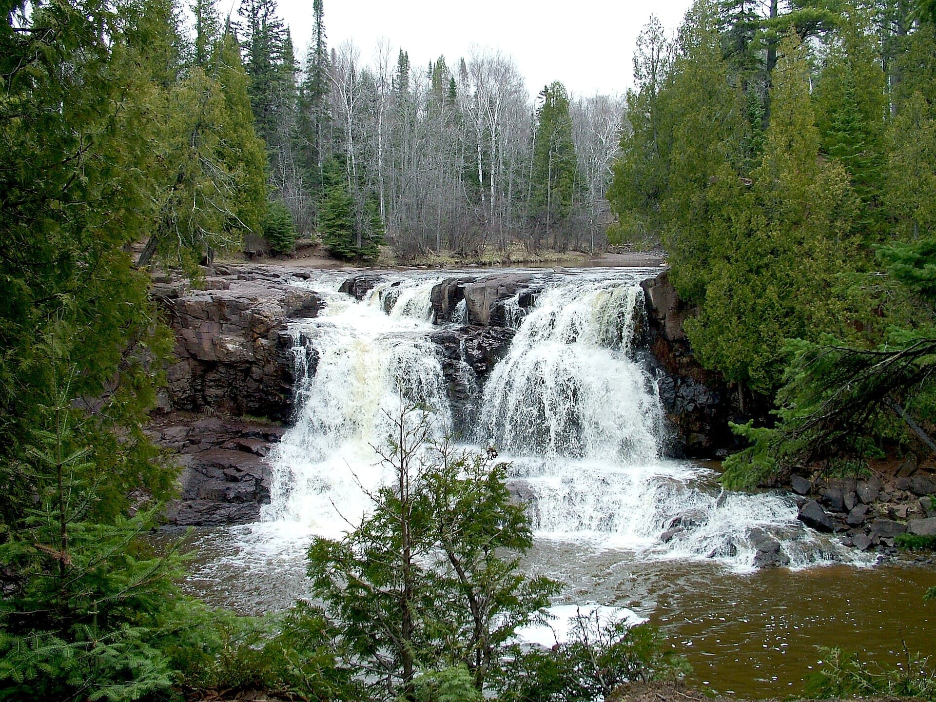
Flooding, trail closures and road damage spread along the North Shore and across northern Minnesota as steady rain kept water high in the Arrowhead and made travel difficult around Gooseberry Falls State Park. State officials said some trails there were inaccessible because of dangerous flooding, turning one of the region’s most visited spring stops into a hazard zone instead of a day-trip destination.
The National Weather Service in Duluth said steady, moderate rain would continue through Monday night, keeping water levels high in the Arrowhead, where a Flood Watch remained in effect. By Tuesday, the office’s homepage still listed a Flood Warning among active hazards, a sign that the water threat had not eased even after the heaviest rain moved through. The mix of rain and snowmelt has kept the North Shore vulnerable, with rivers and low spots carrying runoff from the hillside into roads, trails and public lands.
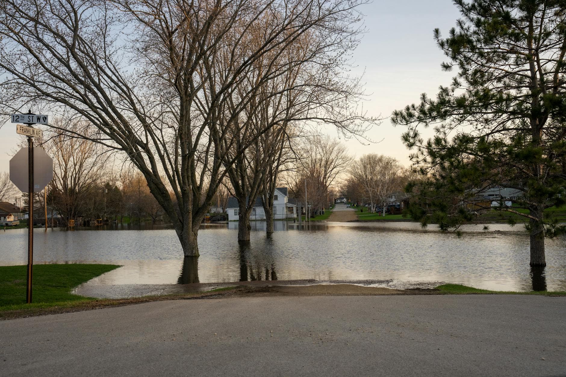
The numbers show how soaked the region has become. Duluth’s preliminary April 2026 climate data had already reached 2.03 inches of precipitation through April 23, and the monthly climate report showed April on track to be a notably wet month. In Hibbing, 1.66 inches fell on April 9, the second-highest one-day total there for April. That came after a day the National Weather Service recorded as light snow and fog, a reminder of how quickly northern Minnesota can swing from late-season cold to heavy rain. Duluth’s April climate record period extends back to 1870, while Hibbing’s daily climate record period goes back to 1931, giving this month’s totals added historical weight.
For drivers and businesses, the practical message was simple: expect delays, closures and changing road conditions. MnDOT urged travelers to check the state’s 511 travel system for flood-related highway closures and other impacts on Minnesota highways. With water still running high in the Arrowhead and warnings active in Duluth, the region faced another stretch where spring travel depended on what the roads and rivers were doing hour by hour.
This article was produced by Prism’s automated news system from verified source data, official records, and press releases, then run through automated quality and moderation checks before publishing. The system is built and supervised by the people who set the standards it runs under. Read our full AI policy.
Did this article answer your question?