St. Louis County launches real-time wildfire evacuation zone map
Residents can now look up their wildfire evacuation zone by address, with real-time yellow, orange and red alerts on a county map.

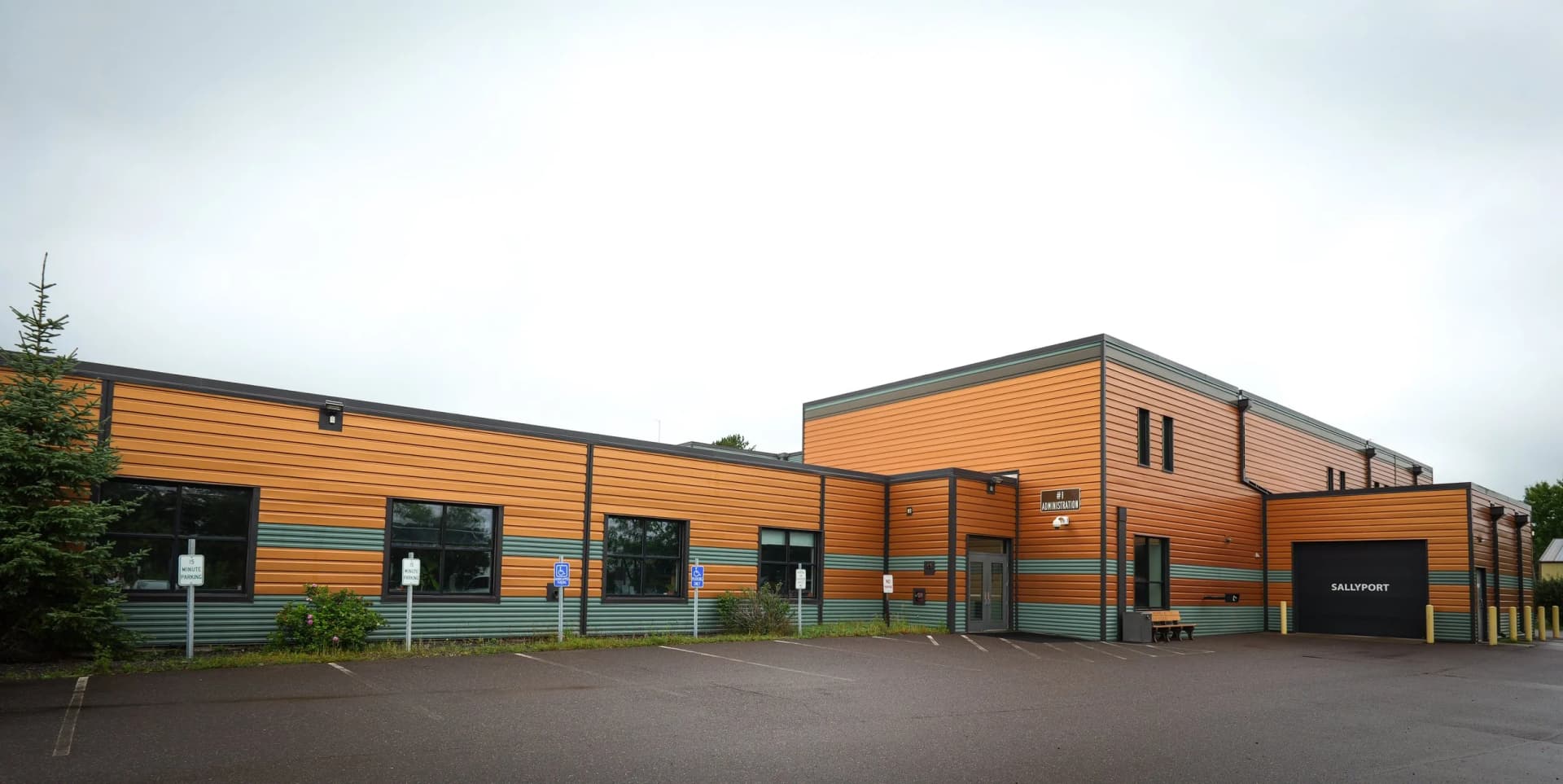
St. Louis County now lets residents type an address into a new ArcGIS evacuation map and see wildfire status in real time, with zones marked in yellow, orange and red under the Ready, Set, Go system. The county’s emergency management pages now point residents to the map for current hazards.
Residents are advised to build evacuation plans, keep an emergency kit and weather radio ready, wear N95 masks for smoke, and maintain a 30-foot fire-resistant buffer around homes. St. Louis County has also worked with the American Red Cross on shelter locations and with Public Works to clear roadside brush so emergency vehicles can reach threatened areas.

The map grew out of a 2021 problem county GIS staff saw while helping a neighboring jurisdiction during a wildfire. There were no predefined evacuation zones, which meant staff would have had to sketch polygons on the fly in the middle of a major fire. St. Louis County is the largest county east of the Mississippi River, and county planners had to account for Duluth, remote wilderness, rural communities, lakeshores, forest land, rivers, roads and topography all at once.
That work narrowed an early concept of roughly 20,000 candidate zones to about 1,500 evacuation zones, designed so a single crewed vehicle could evacuate each one in one to three hours. One local report put the count at 1,600 zones.
Officials debuted the public website at a news conference in Duluth on April 3, 2024. More than 20 grass fires had already broken out in St. Louis County that spring, and Duluth Fire Chief Shawn Krizaj said his department had already responded to 12 grass fires in the first quarter, compared with an average of 30 in a year.
Spruce budworm cycles, development in the wildland-urban interface, hotter summers, drought and heavier recreational use have all pushed wildfire risk higher in northern Minnesota. The Greenwood Fire near Isabella in neighboring Lake County burned more than 25,000 acres and later was tallied by the Forest Service at more than 26,800 acres, destroyed dozens of structures and forced hundreds of evacuations. The county’s emergency services hub was updated in June 2026.
This article was produced by Prism’s automated news system from verified source data, official records, and press releases, then run through automated quality and moderation checks before publishing. The system is built and supervised by the people who set the standards it runs under. Read our full AI policy.
Did this article answer your question?