St. Louis County Parks and Trails Offer Prime Spring Recreation Options
From the Superior Hiking Trail to Lake Vermilion's walleye waters, St. Louis County's spring recreation season is wide open and worth the trip.
Spring arrives slowly in St. Louis County, and that slowness is part of the appeal. Trails emerge from snowpack, rivers surge with ice-out energy, and the Northland shakes off winter in a way that rewards anyone willing to get outside before the summer crowds arrive. Whether you're a day hiker, a backcountry paddler, a walleye angler, or an ATV rider ready to roll, the county's parks and trail systems offer something worth planning around right now.
The Superior Hiking Trail: Quiet Season on the North Shore
The Superior Hiking Trail is a rugged footpath on Minnesota's North Shore that requires appropriate planning and gear. The full route runs roughly 300 miles, though a 260-mile version skips the Duluth section and takes hikers north of the city immediately. In St. Louis County, the trail passes through some of its least-trafficked stretches in April and May, when migrating songbirds filter through the canopy and emerging wildflowers push up along the ridge lines. Vistas above Lake Superior open up before the leaves do, giving early-season hikers views that disappear entirely by midsummer.
What spring asks of you here is preparation. Wet trail segments are common through late May, and any lingering icy patches on north-facing slopes can persist well into April. Waterproof footwear is a baseline requirement; microspikes or traction devices are worth tossing in your pack for the first few outings. The trail's multiple access points near Duluth, Two Harbors, and rural county trailheads make it easy to plan a flexible day hike without committing to a full section.
Jay Cooke State Park: Gorge Views and Ice-Out Drama
Just 10 miles southwest of Duluth, Jay Cooke State Park draws visitors to one of Minnesota's most dramatic natural features: the St. Louis River as it plunges through a deep rocky gorge, creating thundering rapids and cascades over ancient tilted slate bedrock. Spring amplifies everything here. Ice-out on the St. Louis River turns the gorge into a photographer's subject, with early-season rapids churning below the park's most iconic feature: the 220-foot Swinging Bridge, a pedestrian suspension span that crosses high above the gorge.
The park offers more than 50 miles of trails, ranging from gentle riverside walks to steeper terrain above the gorge walls. The Willard Munger State Trail runs through the northern end of the park, providing excellent biking options for those who want to combine trail modes on a single visit. Wildflowers in spring are a particular draw, with bloodroot, trout lily, and hepatica appearing on south-facing slopes as early as late April. Day-use facilities open seasonally, so checking the Minnesota DNR website before visiting is a practical first step, particularly after heavy spring rains or during controlled burn windows.
Lake Vermilion and the Soudan Corridor: Fishing, History, and a Long-Awaited Return
Few combinations in northern Minnesota pack as much into a single weekend as the Lake Vermilion and Soudan area. The lake opens for boating and fishing in late spring, with early-season walleye drawing anglers as water temperatures begin to climb. Lakeside camping at the state park puts you within reach of miles of shoreline that feel genuinely remote even when the campground is full.
The Soudan Underground Mine is the headline this spring. After a closure caused by a flooding event in summer 2024, underground mine tours will return on May 23, 2026, running through October 18. The tour takes visitors 2,341 feet down the shaft to the 27th level of the mine, which is known as Minnesota's oldest, deepest, and richest iron mine. Reservations are now open through the Minnesota DNR, and given the pent-up demand from the two-season hiatus, booking early is strongly advised. Pairing a mine tour with a morning on the water or an evening at a lakeside campsite makes for a full and genuinely distinctive Northland itinerary.
Always verify current fishing regulations and any bait restrictions before heading out on Vermilion; season-specific rules change annually and enforcement is active.
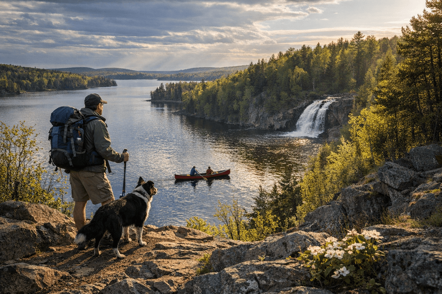
Boundary Waters Access Points: Transitional Season for Paddlers
The northern reaches of St. Louis County border some of the most coveted wilderness water in North America. The Boundary Waters Canoe Area Wilderness stretches across more than 1,500 miles of water trails, and the county's northern access points put paddlers at the doorstep of that system. Spring is a transitional period, however. Access roads into entry points can be muddy or partially washed out, and early-May ice may still choke some portages and shallow lake channels.
Permits for the BWCAW are required from May through September, and 2026 permits became available starting January 28, on a first-come, first-served basis. If you haven't secured a permit yet, connecting with an outfitter is the practical move. Multiple outfitters operate in the area and can help design routes, select campsites, and supply food and equipment. For backcountry trips, checking road and water conditions immediately before departure and leaving trip intentions with a trusted contact are baseline safety steps that the BWCAW's remoteness makes non-negotiable.
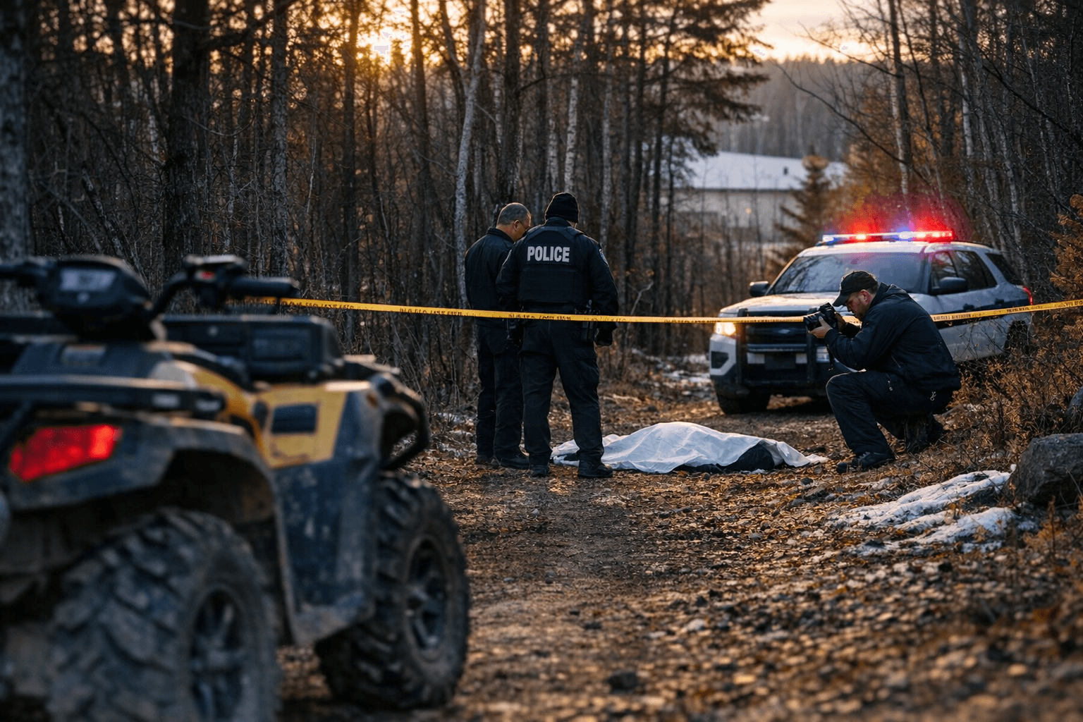
ATV and OHV Riding: Pyrite Campground and Trail Openings
For off-highway riders, spring is when the county's trail network reactivates after a long winter. The Pyrite Campground near Soudan provides a base of operations for riders exploring OHV-designated routes in the area, with seasonal activation typically coinciding with late-spring trail condition improvements. The key caveat in any spring riding season is patience: wet soils and softened trail surfaces are vulnerable to rutting, and riding on closed or saturated trails creates damage that takes seasons to repair. Watch for posted closures and DNR trail maintenance updates before loading the trailer, and treat any wet-season restrictions as firm rather than advisory.
Planning a Spring Outing: Practical Essentials
The logistics of a spring trip in St. Louis County require a bit more homework than a summer visit, but the payoff is quieter trails, less competition for campsites, and landscapes in genuine transition.
A few principles apply across all of these destinations:
- Check Minnesota DNR and St. Louis County parks pages for current opening dates, reservation requirements, and any active alerts before you leave home. Spring thaw, controlled burns, and road conditions all affect access, sometimes with short notice.
- Layer aggressively. Northland spring weather can move from warm sunshine to cold Lake Superior wind within a few hours, and hypothermia risk is real when you're wet and exposed on a ridge or a lake.
- Keep dogs leashed in sensitive areas, particularly near shorelines and forest interiors where early-season bird nesting is active. Disturbance during nesting windows has real consequences for local populations.
- Pack traction devices for icy trail segments and gaiters for muddy stretches. Both are small additions to a pack that can save a hike.
The county's outdoor infrastructure, from the Superior Hiking Trail Association's maintained trailheads to the DNR's campground reservation system, exists to connect people to landscapes that have no equivalent further south. Spring is when that infrastructure quietly reopens, and the window between ice-out and peak-summer traffic is genuinely one of the best times to use it.
Sources:
Know something we missed? Have a correction or additional information?
Submit a Tip