St. Louis County warns spring load restrictions can change by road conditions
Thawing frost can leave county roads too soft for normal truck weights, and St. Louis County says the posted signs, not the map, decide the limit.
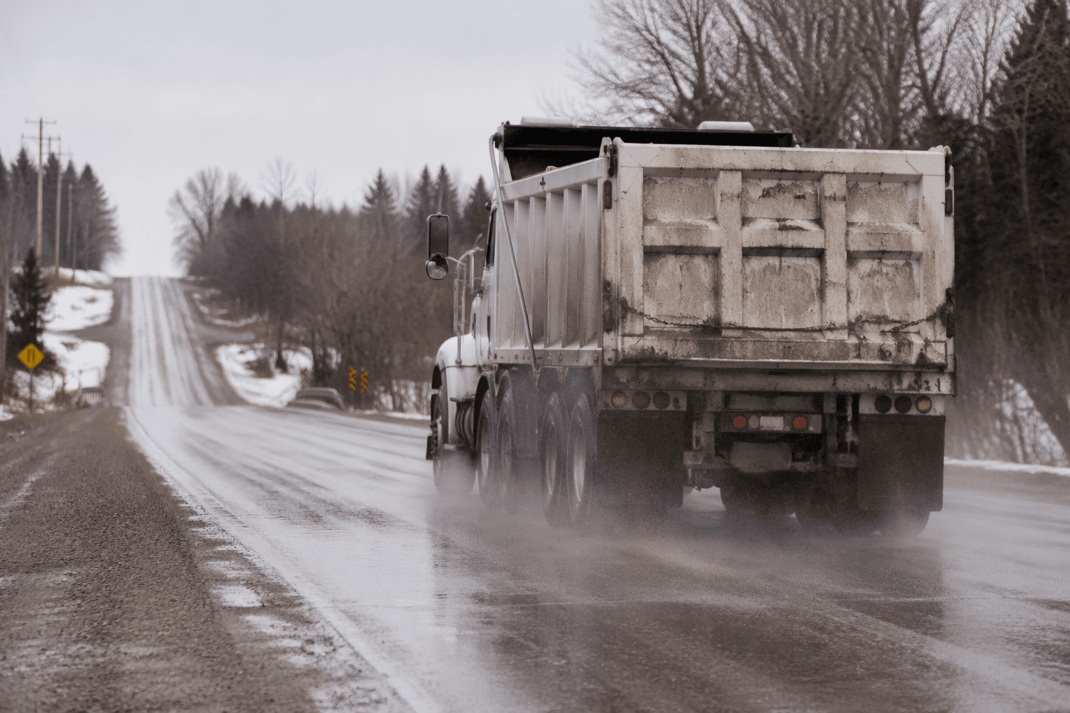
Spring load restrictions in St. Louis County can shift as road conditions change, because thawing frost leaves the roadbed saturated with water and unable to carry normal truck weights. The county says freeze-thaw cycles and heavy truck traffic can quickly turn that weakness into potholes, pavement damage and a weaker road structure.
That makes the limits especially important for contractors, loggers, farmers and delivery drivers moving heavy equipment or bulk loads across the county’s long road network. A route that looks open on paper may not work in practice if a bridge is posted lower than the roadway itself, or if a signed restriction is tighter than the map.
St. Louis County Public Works is responsible for more than 3,000 miles of county and township roads. That includes 1,380 miles of County-State Aid Highways, 1,295 miles of county roads and 329 miles of unorganized township roads. The most vulnerable stretches are the gravel ones: 1,018 miles of county roads are gravel, along with 255 miles of unorganized township roads.
The county says its spring-load restriction maps are tentative and may change to match road conditions. The signs erected on the highway control the restriction actually in effect, even when they differ from the map. That matters in a county that stretches across northeastern Minnesota and connects places such as Duluth, Ely, Hibbing and Virginia with industrial sites, rural homes and seasonal access roads.
Checking the limits is not complicated. St. Louis County says people can call 1-800-450-9777 or 218-625-3830 for the starting date of restrictions and for changes as conditions shift. The county also notes that state law sets the maximum axle weights during spring load restrictions. For state and federal trunk highways, Minnesota Department of Transportation uses a separate seasonal load-limit system and directs drivers to county weight information for county roads.
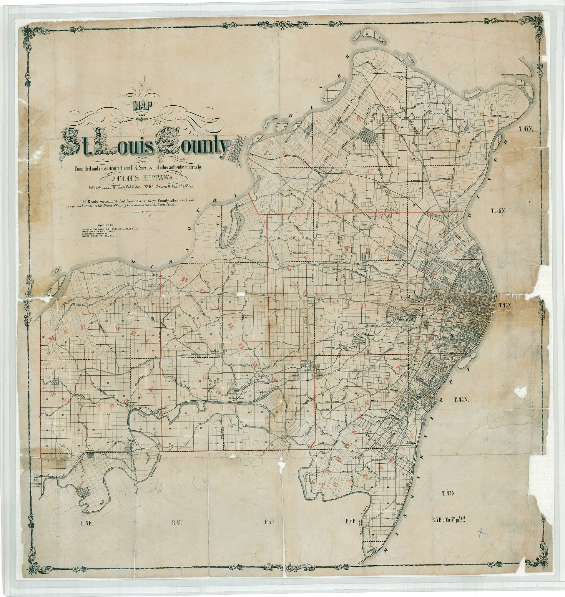
The county’s road system carries more than local traffic. St. Louis County describes itself as the largest county east of the Mississippi River, and its roads support access to county services, recreation, natural resources and employment centers. When spring restrictions tighten, the practical result is slower hauls, different routes and a longer wait before heavy loads can move without chewing up the roads that carry them.
This article was produced by Prism’s automated news system from verified source data, official records, and press releases, then run through automated quality and moderation checks before publishing. The system is built and supervised by the people who set the standards it runs under. Read our full AI policy.
Did this article answer your question?