Wild Rice Returns to St. Louis River Estuary, Marking Restoration Milestone
Wild rice has returned to the St. Louis River Estuary, where a cleanup exceeding $237 million has helped restore a plant that once shrank to less than 0.2 acres across just 15 sites.

A plant that once blanketed up to 1,000 acres of the St. Louis River Estuary has begun reclaiming its place on the water. Community members, tribal leaders, and restoration partners gathered April 7 to mark the return of manoomin, or wild rice, to the estuary: a signal that more than a decade of coordinated cleanup has moved the needle on one of the Great Lakes' most contaminated waterways.
The Duluth celebration drew representatives from the St. Louis River Alliance, the Lake Superior National Estuary Research Reserve, the 1854 Treaty Authority, the Fond du Lac Band of Lake Superior Chippewa, and state and federal agency partners. Keynote speakers connected the ecological return to cultural obligations that predate the contamination by centuries.
"It leaves a living cascade of life around it," said Kris Eilers, executive director of the St. Louis River Alliance. "So that's why it's so important, also culturally significant and spiritually significant. And so it's been really fun to see so many people working on it."
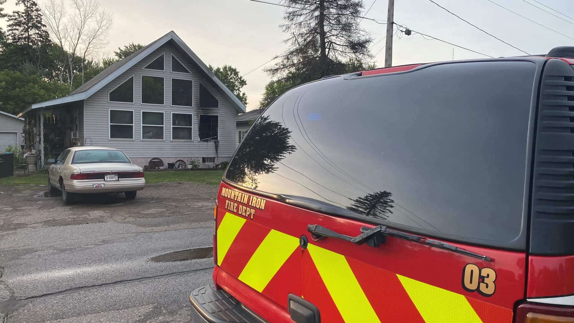
The celebration came as an accountability checkpoint: 66 of the 80 management actions required to delist the St. Louis River Area of Concern have been completed or deemed no further action necessary, putting the effort 82.5% of the way to formal delisting. More than $237 million has been invested in cleanup since the waterway was designated an Area of Concern under the U.S.-Canada Great Lakes Water Quality Agreement in 1987.
That total includes roughly $80 million paid by polluting companies under Superfund law, a $6.5 million natural resource damage settlement for restoration activities, and a $113 million federal infusion that directed $81 million specifically to Spirit Lake, the section of river adjacent to the former U.S. Steel coking facility that closed in 1981. At Spirit Lake alone, crews are dredging, sifting, and containing more than 1.3 million cubic yards of toxic river bottom.
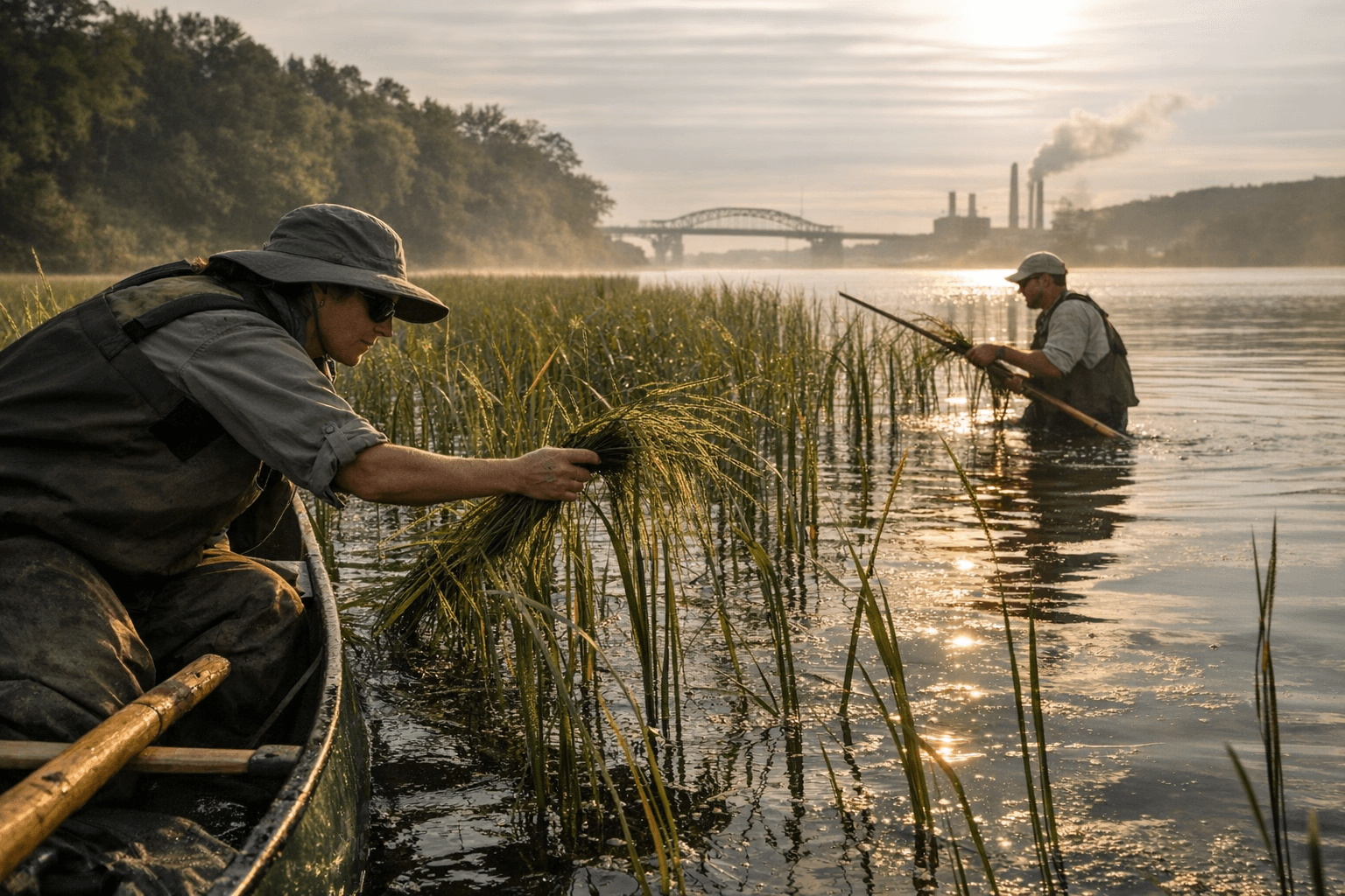
For tribal nations, the stakes have always exceeded any ecological metric. The 1854 Treaty of LaPointe guaranteed Ojibwe harvesting rights across ceded territory, and oral tradition describes the Anishinaabe migration as guided by a directive to settle where food grows on the water. Manoomin is that food, and its disappearance from the estuary tracked almost exactly onto a century of industrial discharge. By the time NOAA conducted aerial hyperspectral mapping, the plant could be found at just 15 sites totaling less than 0.2 acres, a collapse from the 600 to 1,000 acres recorded between the 1930s and 1960s.
The Manoomin Restoration Partnership, which includes the Minnesota and Wisconsin Departments of Natural Resources, the 1854 Treaty Authority, the Fond du Lac Band, the Great Lakes Indian Fish and Wildlife Commission, and the St. Croix Band of Lake Superior Chippewa, has set a target of at least 30 self-sustaining acres by 2026 and 60 acres by 2032, with a long-range goal of 275 acres over the next decade. Annual plantings have concentrated on Clough Island, Kingsbury Bay, and Allouez Bay.
The rice's return has also surfaced a safety question with a promising early answer. Indigenous-led research published in early 2026 found that heavy metal levels in harvested manoomin from the estuary are in most cases lower than published benchmarks for commercial white rice, preliminary evidence that remediation is reducing bioavailable contamination. Fish consumption advisories tied to mercury and PCBs remain in effect for the river, however, and monitoring is ongoing.
Six of the original nine beneficial use impairments have yet to be lifted. Ongoing dredging, wetland reconnection, and sediment capping projects span more than 20 miles of river from the Scanlon Reservoir near Cloquet to the Twin Ports harbor. For the tribal stewards and state agencies who measure success in acres of rice, not ribbon-cuttings, April 7 was a checkpoint, not a finish line.
This article was produced by Prism’s automated news system from verified source data, official records, and press releases, then run through automated quality and moderation checks before publishing. The system is built and supervised by the people who set the standards it runs under. Read our full AI policy.
Did this article answer your question?