Hydrologist warns frozen soils could increase spring runoff, flooding risk in Jamestown
NWS hydrologist Allen Schlag warned Jamestown’s frozen, saturated soils hold just over an inch of water on the ground and could produce strong spring runoff if temperatures reach the high 30s.
Allen Schlag, a hydrologist with the National Weather Service in Bismarck, warned Jamestown-area residents that frozen, waterlogged soils are raising the risk of strong spring runoff and localized flooding. Schlag estimated "The James River Basin probably has just over an inch of water sitting on the ground" and said the area "could see some strong runoff if temperatures reach the high 30s."
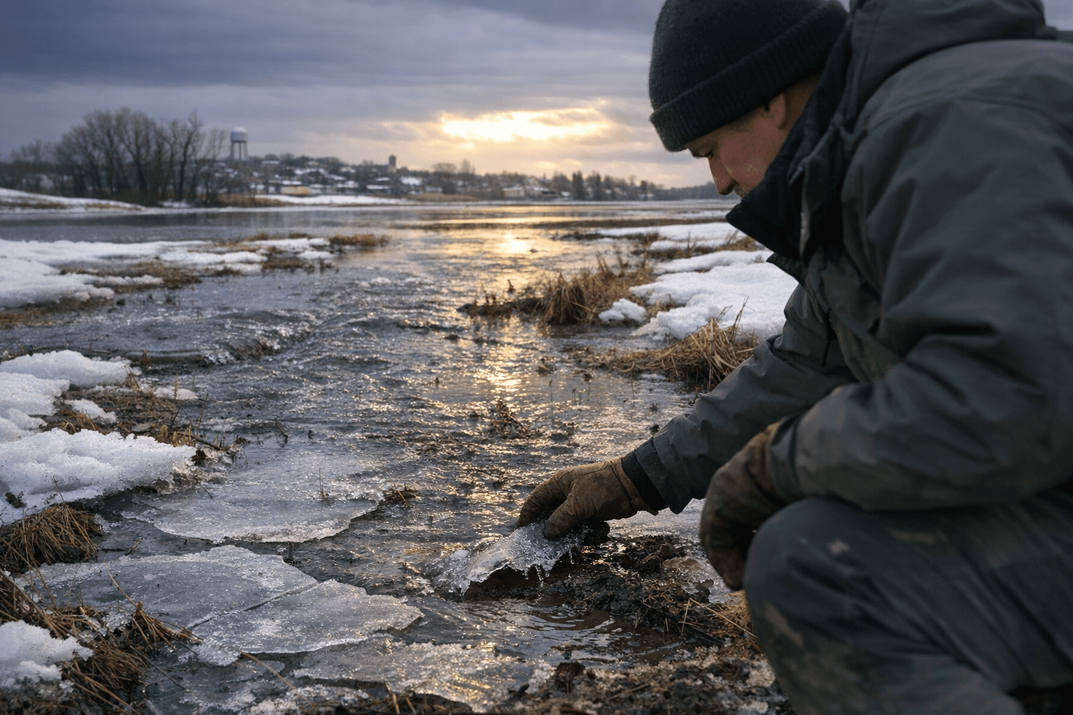
Schlag described the physical condition underfoot: "The upper 4 or 5 inches of the soil are uniformly very wet across most of North Dakota right now." He added that those wet soils are chilled to the point they "are below zero so they are frozen. They are absolutely like asphalt," and that "Soils underneath the grass feel like concrete because they are so wet and frozen that it is impossible to take any snow melt or rainwater in the near future."

Local snow measurements help explain the supply of water that could run off. Staff at the North Dakota State Hospital recorded about 11 inches of snow from November through Feb. 20 at their 6 a.m. daily observations. That compares with 21 inches total for the 2024-25 winter season in Jamestown and a long-term average near 44 inches per winter, underscoring that this season’s totals at the hospital are below the local average while basinwide snow-water content has been elevated.
North Dakota State University hydrology analysis flags the broader basin as primed for runoff. NDSU said "Overland flooding and high water along all of the small streams south of Jamestown are expected and may even translate into flood concerns along the James River itself near the community of LaMoure." The university noted eastern North Dakota gained "6 to 9 inches of moistures, 1 to 4 inches above normal" for the water year Oct. 1 through March 15, and that snowpack and snow-water content "have quickly moved into the Top-10 category for runoff potential."
NDSU named specific tributaries to watch: "Painted Woods, Burnt Creek, Apple Creek and Beaver Creek near Linton are all primed to make a good push at reaching flood stage." The school singled out Beaver Creek, saying "In particular, Beaver Creek received a heaping helping of SWE out of the two most recent storms and now possesses sufficient SWE to reach flood stage under anything other than the most gentle of melt seasons." At the same time, NDSU emphasized uncertainty: "Much of the above is based on current conditions and the very favorable forecast for weather conditions during the third full week of March."
Infrastructure upstream offers some moderation, according to NDSU. The analysis asked, "The biggest question here is runoff above the Jamestown and Pipestem dams above Jamestown. All indicators suggest that the dams will be able to exert a considerable amount of control over the James during the spring melt," and added that this control "should help the southern extent of the region get its snowmelt season in the rearview mirror ahead of seeing any water originating from above Jamestown."
Historical precedent in the U.S. Army Corps of Engineers' Jamestown Dam Water Control Manual shows how fast melts can play out. The manual documents a past spring sequence that included a peak discharge of 3,250 cfs at the James River at Jamestown on April 23, river flows above the 1,800 cfs bankfull mark for 12 days, and overbank flow starting April 4 in the Pipestem Creek watershed. The manual also records forecasts on April 1 of basin-average runoffs in the 1.4 to 3.1 inch range and notes March temperatures during that event were well below normal.
The combined picture from NWS, NDSU and the Corps is conditional: frozen, saturated soils will hold and shed water quickly if a rapid thaw or mid- to late-March warm spell occurs, but the rate of melt and dam operations will determine whether small streams or reaches of the James River reach flood stage. As Schlag put it, "That's our big risk going forward, and that's going to last until such time as our soils begin to thaw.
This article was produced by Prism’s automated news system from verified source data, official records, and press releases, then run through automated quality and moderation checks before publishing. The system is built and supervised by the people who set the standards it runs under. Read our full AI policy.
Did this article answer your question?