Jamestown Reservoir blends recreation, flood control near Jamestown
Jamestown Reservoir draws anglers, campers and trail users just north of Jamestown while also shielding downstream areas from floodwater.
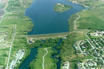
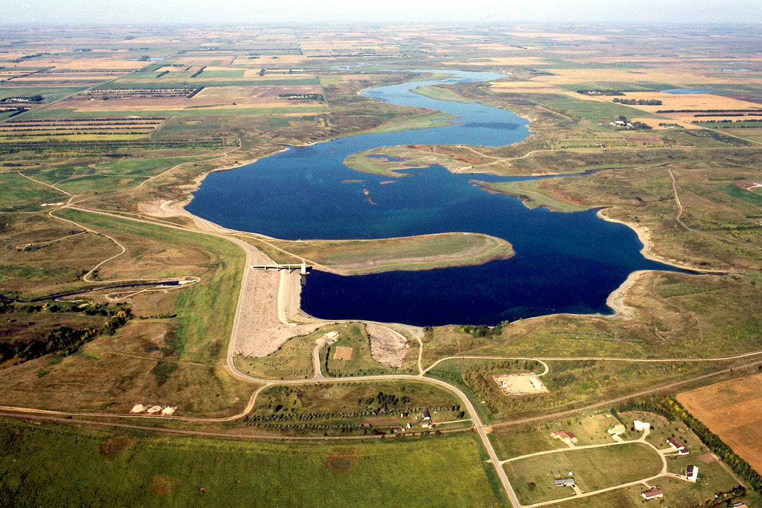
Jamestown Reservoir is one of Stutsman County’s most practical public places because it serves two jobs at once. Just 2 miles north of Jamestown, the 2,095-acre lake gives residents and visitors room to boat, fish, camp and hike, while Jamestown Dam helps protect areas downstream from flooding.
A reservoir built for both use and control
The scale alone explains why the reservoir feels different from a small city lake. Recreation.gov lists about 2,095 water surface acres, 2,492 land acres and 45 miles of shoreline, all managed by the Bureau of Reclamation. Jamestown Dam and Reservoir sit within the Pick-Sloan Missouri Basin Program and the Jamestown Dam project, so the lake is not just a local amenity but part of a larger federal water system.
That mix shapes the experience around the shoreline. North Dakota tourism materials describe sweeping views of undeveloped prairie and wooded draws, which gives the reservoir a distinctly open, central-North Dakota feel. The reservoir also features a modern campground and concessions, making it a place where day use and overnight stays overlap instead of competing for space.
Why it matters to Stutsman County
For Stutsman County, Jamestown Reservoir is valuable because it serves several groups at once. Families use it for weekend outings, anglers build seasons around it, and travelers use it as part of a stop in and around Jamestown. Its large shoreline and wide water surface help spread people out, so the reservoir can feel roomy even though it sits close to town.
That practical role extends beyond recreation. The reservoir draws people to the county’s north side, where boat ramps, access points and camp facilities support repeated use through the warm months and into the colder season. The reservoir’s location near Jamestown also makes it a natural gateway to nearby services, food, fuel and lodging for people spending time on the water or the trails.
What the county and federal agencies each handle
Responsibility for the reservoir is split between federal management and local oversight. The Bureau of Reclamation manages Jamestown Reservoir, while the Stutsman County Park Board oversees public facilities at Jamestown Reservoir. The same county board also oversees Parkhurst at Pipestem Lake and Sandy Beach at Spiritwood Lake, which shows that Jamestown Reservoir is part of a broader county recreation system rather than an isolated site.
That shared structure matters when the reservoir is busy. Six boat ramps, 10 access points, four campsites and four restrooms, as listed by onWater, are the kinds of facilities that keep a large shoreline usable when traffic increases. The practical pressure is not just on the water itself, but on the roads, ramps, restrooms and campground space that make day trips and overnight stays work.
Flood protection is the other half of the story
Jamestown Dam’s history explains why the reservoir cannot be understood as a scenic destination alone. A 1947 source in the search results said the James River Dam was to be built, and Jamestown Dam was completed in 1954. Project records identify flood-risk reduction as the dam’s primary purpose, and the reservoir provides flood protection to areas downstream.
That role is not abstract. Stutsman County’s 2009 flood materials describe significant, unseasonably late snowpack and added precipitation that raised reservoir levels, showing how runoff and reservoir management can become a countywide concern. In the James River basin, the reservoir is part of the region’s defense against water moving too quickly or in too much volume.
Trails, fishing and year-round use
The reservoir is also tied into a wider outdoor network around Jamestown. Discover Jamestown says there are more than 38 miles of Jamestown trails in the area, and routes near the reservoir and Pipestem Lake cross sweeping prairie and wooded shores. That makes the reservoir part of a broader travel pattern, not a single stop on its own.
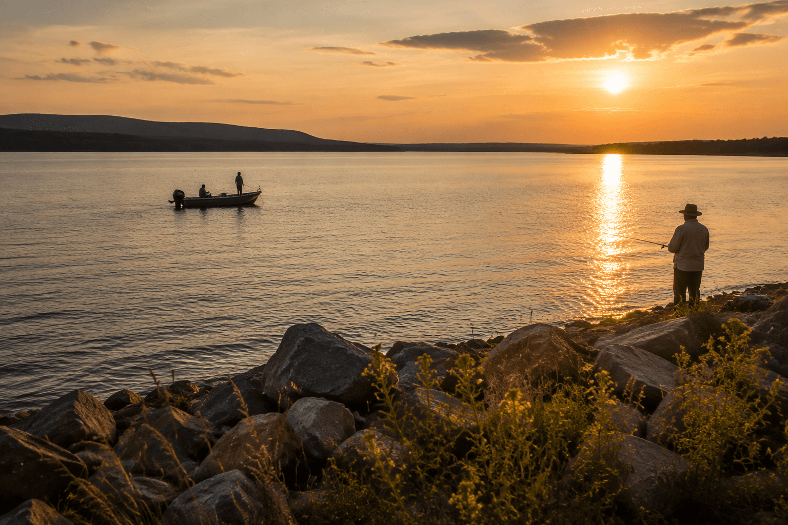
Fishing and winter use add to that year-round pull. onWater describes Jamestown Reservoir as offering year-round fishing opportunities, and local tourism materials point to camping, boating, fishing, hiking, biking, ice fishing and snowmobiling in the Jamestown area. Those uses help explain why the reservoir matters outside summer boating season, when the shoreline, ramps and campground are all under the most visible pressure.
Keeping the water and shoreline in shape
Water quality remains part of the conversation too. A 2022 Jamestown Reservoir Watershed Project proposal from the Stutsman County Soil Conservation District targeted nonpoint source pollution in the reservoir and adjacent watersheds. That kind of work matters for a lake that serves both recreation and water management, because shoreline use, runoff and reservoir health are linked.
Taken together, the reservoir’s acreage, shoreline, trail access, campground, flood-control role and county oversight make it one of Stutsman County’s most important public assets. It is a place where recreation, water management and local infrastructure meet in the same landscape, and that is what keeps Jamestown Reservoir central to life near Jamestown.
This article was produced by Prism’s automated news system from verified source data, official records, and press releases, then run through automated quality and moderation checks before publishing. The system is built and supervised by the people who set the standards it runs under. Read our full AI policy.
Did this article answer your question?