Pipestem Dam releases decreased Tuesday, affecting James River conditions
Pipestem Dam cut releases Tuesday, and the change can quickly shift current, shoreline and boat conditions along the James River north of Jamestown.

Pipestem Dam reduced releases Tuesday, a move that can change river conditions for landowners, farmers, anglers and recreation users downstream of Jamestown. Even a modest adjustment at the reservoir can alter the James River’s speed, water depth and bank exposure through Stutsman County.
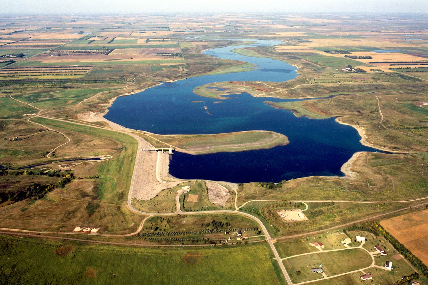
The U.S. Army Corps of Engineers manages Pipestem Dam on Pipestem Creek north of Jamestown as part of the James River Basin system. Pipestem and Jamestown Reservoir are operated together, with releases from Pipestem coordinated with the Bureau of Reclamation because of Jamestown Dam downstream. The Corps says residents below the reservoirs should keep an eye on National Weather Service flood forecasts whenever the system is in the flood control zone.
Pipestem was built for flood damage reduction, fish and wildlife enhancement and recreation. Construction began in June 1971 and the dam was completed in 1973. Its outlet structure is designed to release up to 2,300 cubic feet per second, while the spillway is designed to pass up to 110,000 cfs. Those figures matter because they show the range of water the structure can move when conditions change quickly.
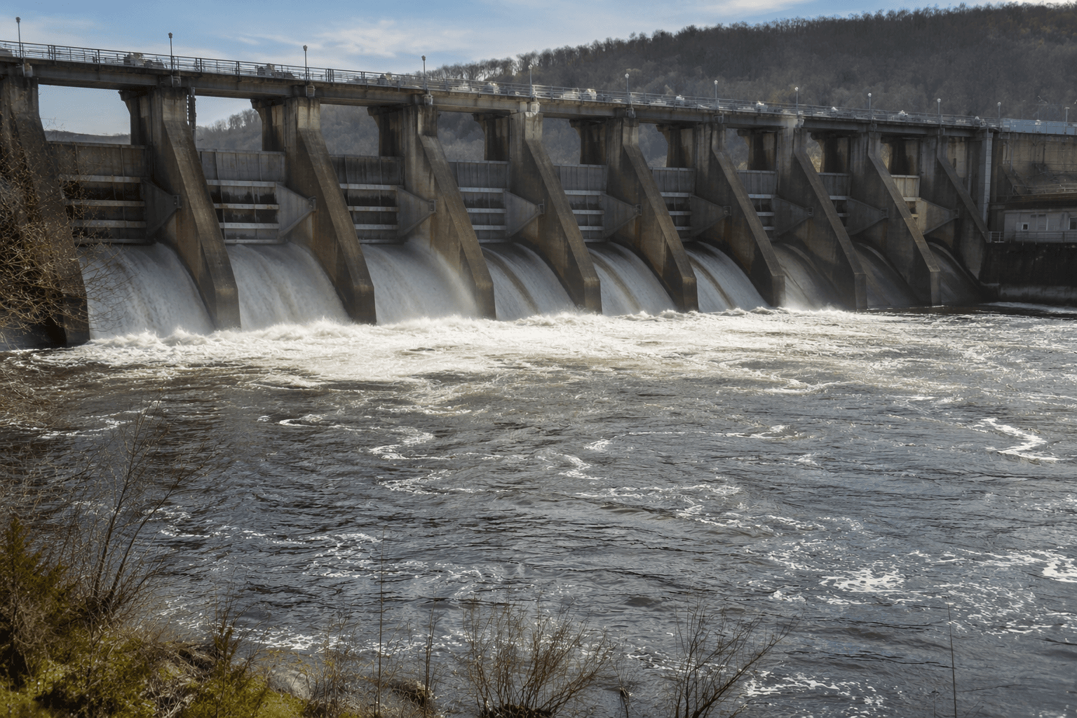
The latest release reduction comes just days after the Omaha District marked completion of the $250 million Pipestem Dam Spillway Modification Project with a ribbon-cutting on May 19, 2026. The Corps said the work was driven by erodible geology beneath the spillway, and Jamestown Mayor Dwaine Heinrich described the project as an insurance policy. The Corps has estimated that a failure at Pipestem could cause more than $450 million in property damage, which is why routine changes in release rates are watched closely in Jamestown and across Stutsman County.
For downstream users, the practical thresholds are simple. If releases rise again, expect a stronger current, higher water along the banks and harder conditions for anglers and boaters. If the reservoirs move into flood control operations, watch National Weather Service flood forecasts closely. For farmers and landowners near the river, the key signal is any sharp shift in release rate, because water levels can respond quickly through the James River corridor.
The system has already seen both directions. In July 2024, combined releases from Pipestem and Jamestown were increased to 1,000 cfs, with 450 cfs from Pipestem and 550 cfs from Jamestown, after the basin received more than 150% of normal precipitation over 120 days. Tuesday’s decrease shows that managers are still adjusting flows to current conditions, and those changes continue to ripple through the river corridor north of Jamestown.
This article was produced by Prism’s automated news system from verified source data, official records, and press releases, then run through automated quality and moderation checks before publishing. The system is built and supervised by the people who set the standards it runs under. Read our full AI policy.
Know something we missed? Have a correction or additional information?
Submit a Tip