Winter Storm to Impact Stutsman County; Jamestown Forecast 3 to 6 Inches
National Weather Service guidance updated the forecast for a winter system in the James River Valley; KSJB predicted roughly 3–6 inches in Jamestown beginning Tuesday night, Feb. 17.
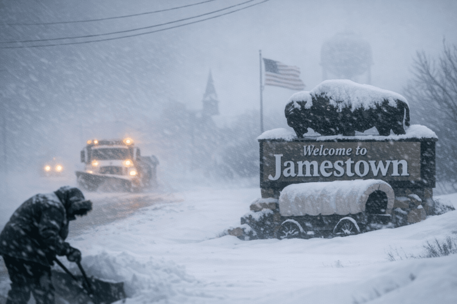
National Weather Service guidance updated the forecast for a winter system expected to affect the James River Valley and Stutsman County beginning Tuesday night, Feb. 17, and KSJB predicted roughly 3–6 inches of snow for the Jamestown area. KSJB also reported gusty winds for the Jamestown forecast area, and residents should monitor local updates as the system moves through.
The same broad storm system has prompted regional warnings about reduced visibility and difficult travel. KKCO warned that "Tuesday and Wednesday are First Alert Weather days for the mountains. Heavy snow and gusty winds can cause travel disruptions." Minnesota NWS products quoted by MPR project heavier mixed precipitation farther east and note that "Travel will be very difficult. Falling and blowing snow will lead to areas of quick and sudden reductions to visibility, making travel difficult, especially in rural areas that are prone to blowing snow."
The low that is driving the system is described in MPR coverage as "a deep and potent low-pressure system. It will track slowly from north of Omaha, Neb., Tuesday evening to around Duluth by Thursday. It’s got plenty of wind and moisture in tow." MPR's NWS product language includes: "WHAT...Heavy mixed precipitation and areas of blowing snow expected. Total snow accumulations between 5 and 10 inches with locally higher amounts. Ice accumulations of a glaze. Winds gusting as high as 40 mph." The MPR products also warn of "whiteout conditions" and say those conditions "will make travel treacherous and potentially life-threatening, especially along Highway 61 on the North Shore."
Western mountain and high wind hazards tied to the same trough were highlighted in Grand Junction coverage. KKCO published the Avalanche Watch text: "An Avalanche Watch is in effect from 9 AM Tuesday to 5 PM Friday for the West Elk and Elk Mountains. Heavy snow and strong winds will cause high avalanche danger. Avoid travel on and under slopes steeper than about 30 degrees in those areas." KKCO also ran a Wind Advisory that reads in full: "A Wind Advisory is in effect from 5 AM to 5 PM Tuesday for the Central Yampa River Basin, Lower Yampa River Basin, Animas River Basin, Four Corners/Upper Dolores River, and Paradox Valley/Lower Dolores River. Winds of 25 to 35 mph are expected with gusts up to 50 mph. Be sure to tie down or bring inside loose objects. Areas outside the advisory can have wind gusts of 30-40 mph in the valleys with gusts up to 75 mph in the mountains."
The system has already produced severe impacts in parts of the West. PBS and the Associated Press reported that "The storm wreaked havoc on roadways spanning from Sonoma County to the Sierra Nevada. Traffic was halted temporarily in both directions on I-80 near the Nevada state line due to spinouts and crashes, the California Department of Transportation reported." The AP coverage added that "In Santa Barbara County, a large tree toppled onto US-101, shutting down southbound lanes," and forecasters warned that parts of the Sierra could see "up to 8 feet (2.4 meters) of snow before the storm moves through late Wednesday." That reporting also noted gusts "up to 60 mph (96 kph) are likely to hit the Colorado eastern plains on Tuesday."
Looking beyond the immediate event, the Climate Prediction Center and NCEP week-2 outlook flagged continued risk for heavy precipitation, snow and high winds later in the month. The CPC observed that "Both the GEFS and ECENS continue to indicate increased chances of integrated vapor transport (IVT) values exceeding 250 kg/m/s" and placed "Moderate risk of heavy snow across portions of the Interior West, Wed-Sun, Feb 25-Mar 1" along with moderate and slight wind risk windows through Mar 3.
For Jamestown and Stutsman County, the actionable step remains close monitoring of official products and road conditions. Check National Weather Service products for Stutsman County and updates from KSJB and local road reporting as conditions evolve after Tuesday night, Feb. 17.
This article was produced by Prism’s automated news system from verified source data, official records, and press releases, then run through automated quality and moderation checks before publishing. The system is built and supervised by the people who set the standards it runs under. Read our full AI policy.
Did this article answer your question?