Suffolk County gets $28.5 million for storm-resilient infrastructure projects
Asharoken Avenue, Harbor Road, Amity Harbor and Blydenburgh Dam are getting the first fixes from Suffolk’s $28.5 million storm-resilience package.
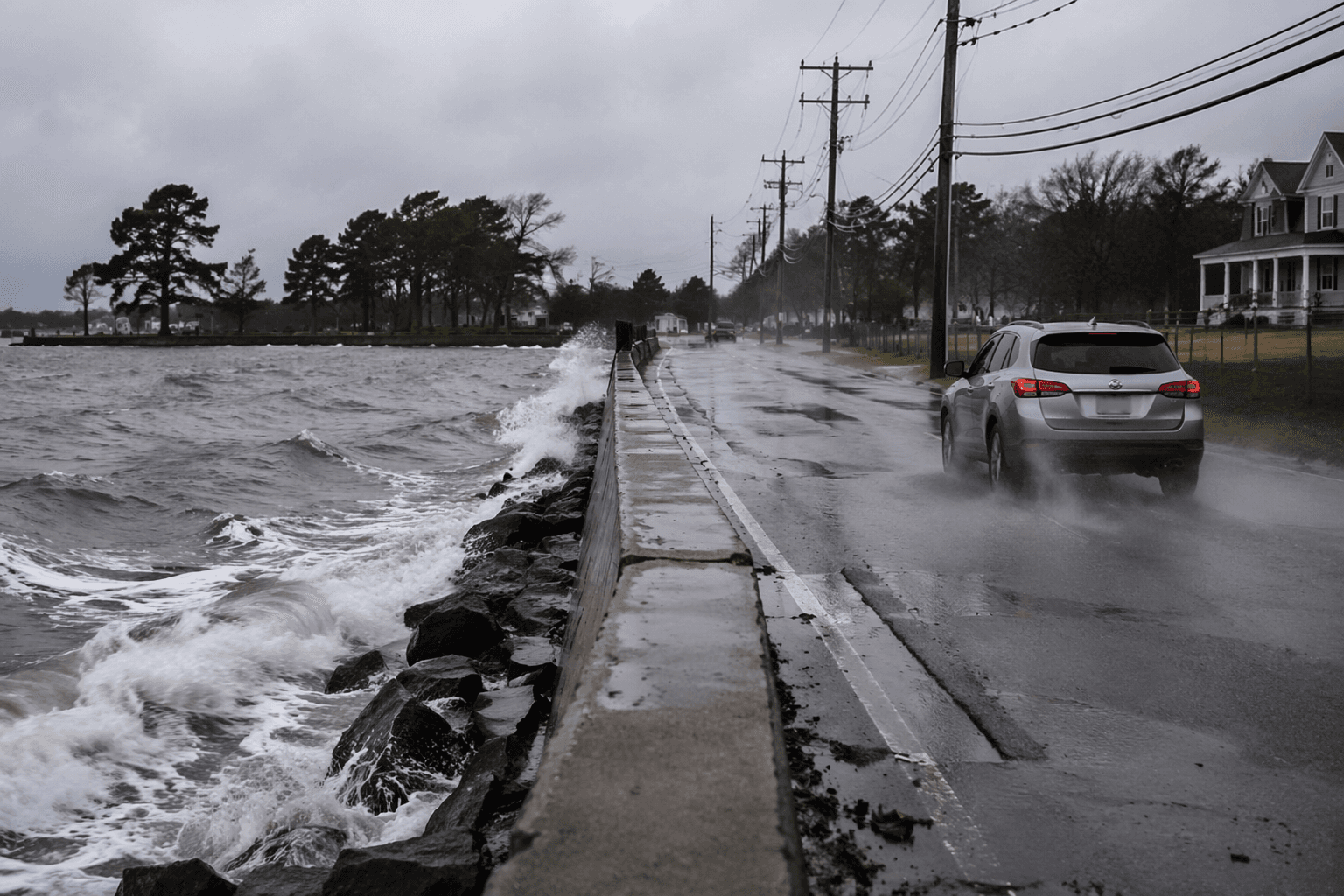
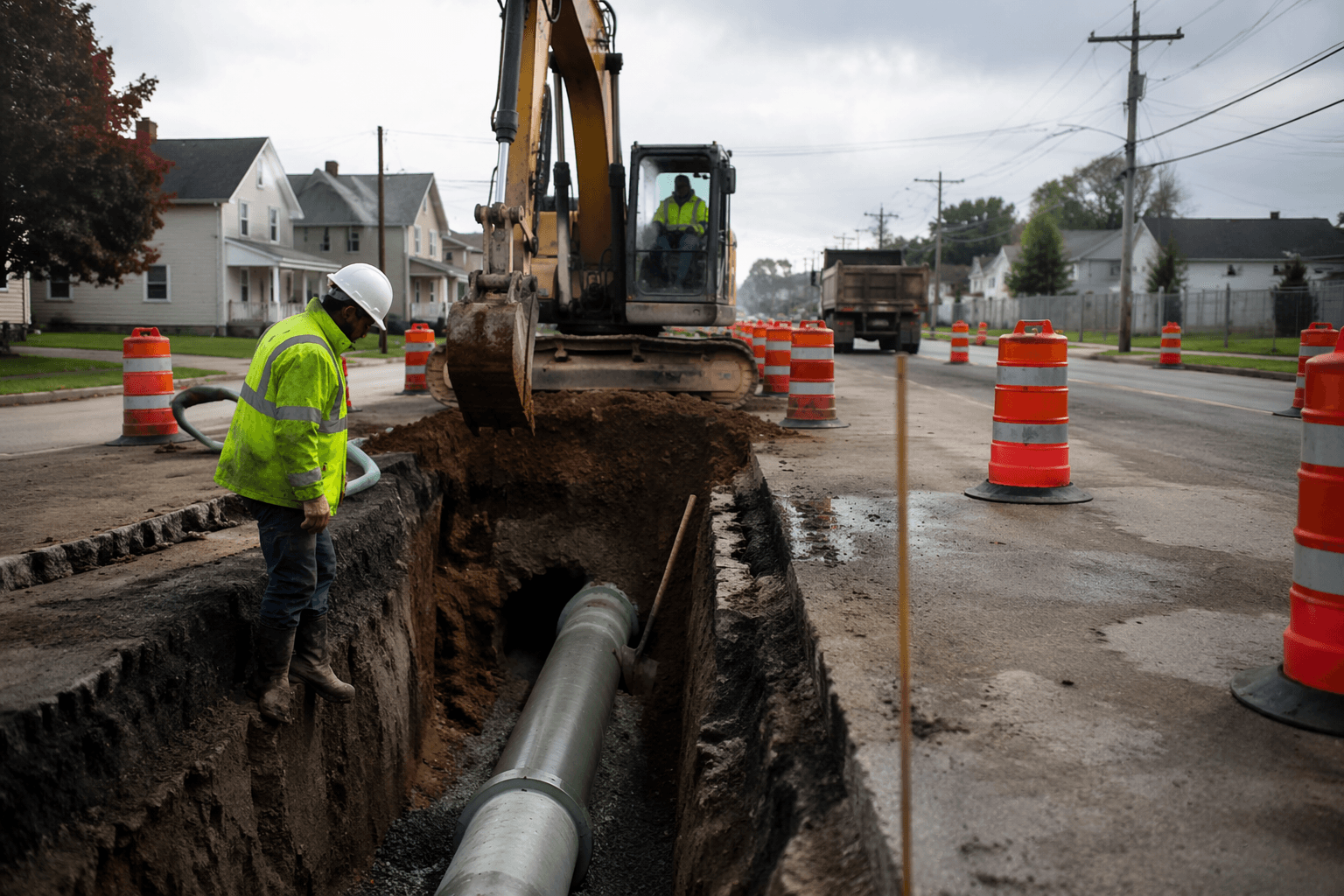
The most immediate payoff from Suffolk County’s $28.5 million state infusion will be seen on Asharoken Avenue, Harbor Road, Amity Harbor roadways, and at Blydenburgh Dam and Stump Pond, where officials say the work is aimed at limiting washouts and flood damage before the next major storm. Gov. Kathy Hochul announced the package on June 18, with $12 million set aside to replace the Asharoken Avenue seawall, $6.5 million to restore Stony Brook’s Harbor Road, $2 million to elevate and improve key roadways in Amity Harbor, and $8 million to rebuild the Blydenburgh Dam and Stump Pond.
The state said Harbor Road and the Blydenburgh Dam were washed out in an August 2024 storm, underscoring how quickly a single event can sever local transportation routes and damage public infrastructure. Hochul tied the investment to lessons from Superstorm Sandy and said New York cannot afford another Sandy, casting the Suffolk money as part of a broader effort to harden vulnerable communities against rising seas and more intense weather.

The state also framed the package as a practical shield for homes, small businesses, and critical transportation links across Suffolk County. That matters most in places like Asharoken and Eaton’s Neck, where residents have repeatedly dealt with washed-out roadways during severe weather, and in Stony Brook and Amity Harbor, where local roads serve as lifelines during storms. The Asharoken Avenue seawall is intended to reduce flood impacts along the shoreline, while the dam and roadway work are meant to keep water and traffic moving where past storms have stopped both.

The new funding fits into a longer county strategy. Suffolk’s coastal resilience memorandum includes flood inundation analysis for 25 at-risk sites modeled for 2025, 2055 and 2100, and the county has spent years studying where flood risks are most likely to hit next. That planning has involved outreach and coordination with the Suffolk County Department of Public Works and the Suffolk County Department of Parks and Recreation, and it builds on earlier county infrastructure work tied to Suffolk’s nearly 1,000 miles of coastline and prior investments in water-quality and sewer projects.
Local leaders said the Asharoken seawall project alone took more than four and a half years of coordination among more than 30 partners. Assemblyman Keith Brown said the effort had required that level of cooperation, Asharoken Mayor Gregory Letica said the replacement is about protecting people and preserving the community, and State Sen. Mario Mattera said the money matters to residents who have watched roads wash out during severe weather. For Suffolk, the test now is whether the work reaches the places that flood first and fails least often when the next storm arrives.
This article was produced by Prism’s automated news system from verified source data, official records, and press releases, then run through automated quality and moderation checks before publishing. The system is built and supervised by the people who set the standards it runs under. Read our full AI policy.
Did this article answer your question?