Sullivan County's Top Outdoor Destinations, From Sunapee to Monadnock
Weekend hikers at Mount Sunapee's Andrew Brook Trail once packed Mountain Road so tightly that fire trucks couldn't pass, and Newbury Police still restrict parking there.

The Parking Problem That Precedes Every Hike
On peak spring and summer weekends, hikers arriving at the Andrew Brook Trail off Mountain Road in Newbury have filled both sides of the road so completely that fire apparatus cannot get through to reach homes further up the hill. Newbury Police intervened and restricted parking to designated areas on one side of Mountain Road only. The overflow solution is the parking lot at Mount Sunapee Resort, which provides legitimate trailhead access and relieves pressure on the residential road. If you're headed to Andrew Brook on a Saturday morning, plan to arrive early or drive straight to the resort lot. That parking crunch is one of the most concrete illustrations of how much demand Sullivan County's outdoor corridor absorbs, and why practical planning matters more than a scenic overview.
Mount Sunapee State Park: The Infrastructure
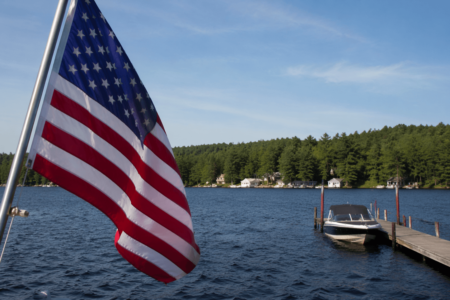
Straddling the Newbury-Goshen border, Mount Sunapee State Park anchors the region's trail network with more than 10 miles of hiking across seven trailheads, a beach on the 4,085-acre Lake Sunapee, a campground, boat launch, and boat rentals. In winter, the mountain operates as a ski resort managed by Vail Resorts under a lease agreement with the State of New Hampshire.
The campground sits roughly two miles from the state park beach and offers lean-to and platform sites. Reservations require a $25 deposit, with remaining fees collected at the park on arrival. Reservations can be made up to 30 days out. Parking at the swimming beach also requires an advance reservation during peak season: arriving without one typically means turning around. Security staff is normally stationed at the mountain's base and can assist with emergencies and trailhead directions.
Trail-by-Trail: Times, Distances, and What to Expect
Mount Sunapee Summit Trail
The Summit Trail is the park's signature route: roughly 4.8 miles roundtrip with about 1,496 feet of elevation gain. The panoramic views from the top make it one of the most-referenced hikes in the region on AllTrails and TrailFinder, both of which carry user-submitted condition reports and elevation profiles worth checking before you leave home. Higher elevations come with faster weather changes; conditions at the summit can be significantly colder and windier than at the trailhead, even on a clear lower-elevation morning.
Andrew Brook Trail
The Andrew Brook Trail approaches the summit along Sunapee's quieter southeastern slopes, marked with blue paint blazes. At 6.2 miles with 1,692 feet of elevation gain, it runs longer and a bit steeper than the Summit Trail, and AllTrails rates the estimated completion time at 3.5 to 4 hours. The trailhead is off Mountain Road, south of Newbury Harbor via Route 103. The trail passes through Lake Solitude, one of the most rewarding mid-route stops on the mountain, and tends to see less foot traffic than the summit approach trails. Because of the parking restrictions on Mountain Road, confirm the lot situation before you go: Newbury's overflow arrangement at the resort base remains the most reliable backup.
The Monadnock-Sunapee Greenway: Fifty-One Miles of Backcountry
The Monadnock-Sunapee Greenway stretches 51 miles from Mount Monadnock in Jaffrey south to Mount Sunapee in Newbury, crossing a glaciated highland that divides the Connecticut and Merrimack River drainages. The trail accumulates roughly 9,898 feet of total elevation gain across its full length, earning a hard difficulty rating on AllTrails. Most through-hikers complete the route in three to four days, camping at any of five designated sites along the way.

The Greenway's white rectangle blazes trace a lineage back to 1921, when the original trail was established by the Society for the Protection of New Hampshire Forests. The Monadnock-Sunapee Greenway Trail Club maintains the route today and is the primary source for condition updates and volunteer trail work. Because the trail runs point-to-point, completing the full route requires a vehicle shuttle or arranged transportation between Jaffrey and Newbury: being stranded at the northern terminus without a ride is a genuine outcome for hikers who skip this step.
Day hikers can access individual sections without committing to the full distance. Shorter preserved segments offer ridge-top views and excellent birding during spring migration, when the trail also crosses areas of seasonal wildflowers.
Mud Season, Weight Limits, and the Rules That Trip Visitors Up
Spring is the season most likely to produce a bad day on any Sullivan County trail. Thaw conditions can turn a well-marked path into a muddy slog within hours, and freeze-thaw cycles damage trail surfaces in ways that take multiple volunteer weekends to repair. Seasonal trail closures for maintenance or bird nesting can go into effect without much lead time; checking New Hampshire State Parks and trail-club updates before leaving home is the most reliable way to avoid a wasted drive.
Road conditions carry their own enforcement consequences. Many Sullivan County town roads post seasonal 6-ton weight limits during mud season. Violations carry citations; heavily loaded vehicles or truck-and-camper combinations should confirm current postings for any road leading to a trailhead.
A few practical rules apply regardless of season:
- Cell coverage is unreliable at higher elevations on both Sunapee and along stretches of the Greenway. Carry a printed map or a downloaded offline GPX file.
- Tell someone your intended route and expected return time before you leave. This is the step most search-and-rescue reports note was skipped.
- If camping at Mount Sunapee State Park, confirm site availability and reservation requirements in advance; walk-in availability during peak months is limited.
- Dogs are permitted on some sections of the Greenway but policies vary by land ownership along the route; check with the trail club before bringing a dog on a multi-day trip.
Where to Get Help
For on-mountain emergencies at Sunapee, security staff at the resort base is the first contact during operating hours. New Hampshire Fish and Game Conservation Officers handle search and rescue statewide and are reachable through NH911. The state park office handles non-emergency trail and campsite questions.
Three organizations underpin the volunteer work that keeps this network functional. Friends of Mount Sunapee supports trail projects and advocacy at the state park level. The Monadnock-Sunapee Greenway Trail Club handles maintenance and mapping for the Greenway. New Hampshire State Parks is the administrative authority for the park itself. Volunteering with either of the first two groups is one of the most direct ways to give back to a trail system that absorbs significant day-use pressure every season.
The Greenway and the Sunapee network reward preparation. Most trips that go sideways start the same way: hikers who bypassed the parking signs, didn't download a map, and assumed the logistics would sort themselves out. The good news is that none of the preparation is difficult, and the trails themselves deliver on every promise the region makes.
This article was produced by Prism’s automated news system from verified source data, official records, and press releases, then run through automated quality and moderation checks before publishing. The system is built and supervised by the people who set the standards it runs under. Read our full AI policy.
Did this article answer your question?