Optima refuge shows how access rules and habitat management work together
Optima’s access rules and habitat work are linked: a 4,333-acre refuge, an 8,062-acre WMA, and new nonresident check-in rules all shape how the land is used.
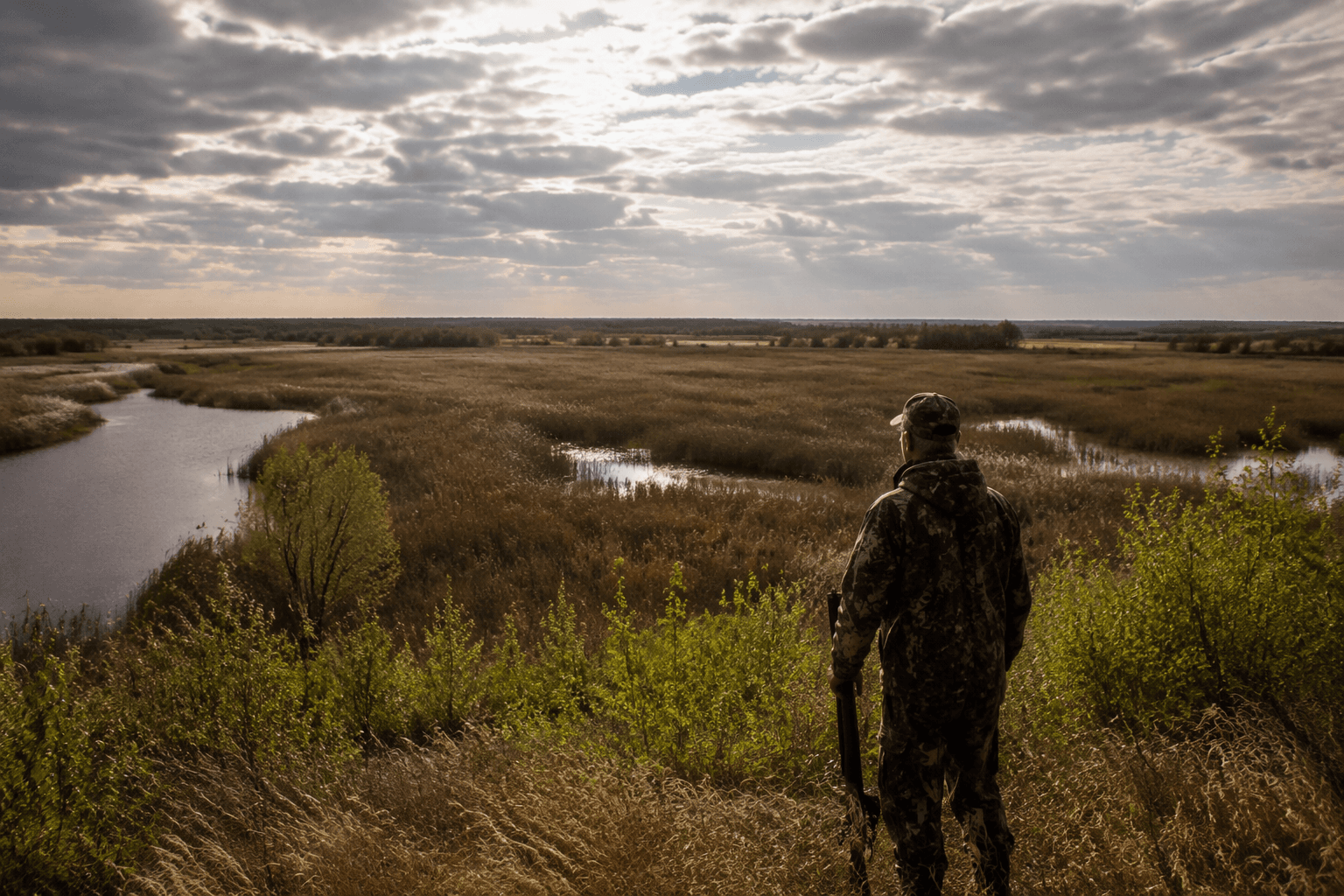
Optima National Wildlife Refuge sits about two miles north of Hardesty in the Oklahoma Panhandle and covers 4,333 acres of grasslands and wooded bottomlands. The landscape in Texas County is managed as more than open space. It is a working mix of wildlife habitat, public hunting, bird viewing, and access rules that now require some nonresidents to check in and check out before using certain Oklahoma public hunting and fishing areas.
A refuge built around a reservoir that never filled
The federal government established it in 1975 under the Fish and Wildlife Coordination Act through an agreement between the Department of the Interior and the U.S. Army Corps of Engineers, and the original purpose was specific: wintering and resting habitat for migratory waterfowl on the Central Flyway.
That purpose is tied directly to the planned Optima Lake, the Optima Reservoir Project. The refuge lies on the Coldwater Creek arm of that project, and lower-than-anticipated water levels limited the habitat available to birds. In practice, that means the area has always been managed in the shadow of water conditions, not just land boundaries.
The refuge is not only for protection, but also for wildlife-dependent recreation, including wildlife watching, photography, and public hunting.
How the access rules work now
The Oklahoma Wildlife Conservation Commission adopted new rules in 2025 that require nonresidents using certain Oklahoma public hunting and fishing areas to check in and check out. The system is free and is meant to help the agency better understand how the area is being used.
Optima is not a closed preserve. It is an actively managed public landscape.
For people using the area, the practical points are simple:
- Nonresidents in covered areas must check in and check out.
- The process has no additional cost.
- The purpose is to help wildlife managers understand use patterns.
- The system is tied to public hunting and fishing areas, not to a general admission fee.
Residents are not required to check in to wildlife management areas, though they are required to check in to limited-access OLAP areas.
Refuge and WMA are not the same thing
Optima’s federal refuge and the nearby state-managed wildlife area serve related but distinct roles. The Oklahoma Department of Wildlife Conservation lists Optima Wildlife Management Area at 8,062 acres, a much larger footprint than the refuge itself. Together, the two sites create a public-land corridor in Texas County where habitat management and recreation overlap.
The refuge is anchored in federal wildlife and waterfowl goals, while the WMA is run through state access rules, hunting contacts, and field management. On land owned or managed by the department, the primary objective is the sound management and use of fish and wildlife resources, with public use allowed in this order: hunting, fishing, trapping, running dogs for sport and associated activities; other wildlife-oriented activities such as nature observation or photography and conservation education; and then non-wildlife-related activities only when they do not conflict.
Area-specific contacts are:
- Optima WMA hunting line: 806-339-5175
- Optima NWR hunting line: 580-664-2205
- Texas County game warden: 405-593-0463
What changes with the seasons
Optima was built for wintering and resting waterfowl, so its most important season is tied to migration and cold-weather use. When birds are moving through the Central Flyway, the refuge’s remaining water and bottomland habitat matter most, especially in a system where low water has long constrained what the project can provide.
That seasonal reality also creates tradeoffs for hunters and other visitors. In wetter periods, waterfowl habitat improves and the refuge’s original purpose becomes more visible. In drier periods, the habitat base shrinks, and the value of the land shifts more toward grassland and bottomland management, wildlife viewing, and the limited public access the area can still support.
The state’s access rules add another layer. Nonresident check-in and check-out requirements are most relevant when traffic rises and use patterns matter most to managers. Fall and other high-use periods are when the state wants better data on who is using the land and when.
Optima Lake’s history still shapes the public debate
The larger Optima Lake project was authorized by the Flood Control Act of 1936 for flood control, water supply, recreation, and fish and wildlife. Construction began in March 1966, impoundment began in October 1978, and the project was completed in 1978.
The lake never reached more than 5 percent capacity, and a Duke University Press abstract puts the completed project cost at $46,111,000. A road across the three-mile-long Optima Dam was closed after money for guardrail repairs could not be found.
This article was produced by Prism’s automated news system from verified source data, official records, and press releases, then run through automated quality and moderation checks before publishing. The system is built and supervised by the people who set the standards it runs under. Read our full AI policy.
Did this article answer your question?