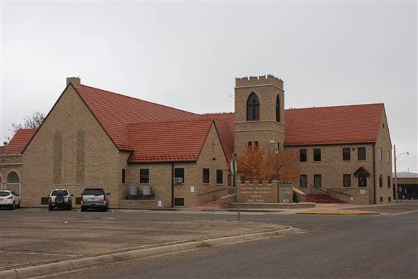
Texas County roadside markers turn local history into a day trip
Fifteen Texas County markers make a low-cost loop from Guymon into the Panhandle’s smaller towns. The route doubles as a practical weekend add-on for families already driving U.S. 54, 64 or 412.
Fifteen roadside markers give Texas County a ready-made weekend loop, and Guymon is the place to start. The county seat sits on U.S. Highways 54, 64 and 412, plus State Highway 3, so a marker hunt can fold into errands, lunch, or a pass-through drive without much planning.
Why Guymon is the best starting point
Guymon anchors the trip for a simple reason: the Historical Marker Database identifies it as the county seat, and the Oklahoma Historical Society describes it as the seat of the Panhandle’s Texas County. A separate community profile calls it the largest city in the Oklahoma Panhandle and says it has become the region’s hub because of consumer population growth and retail selection, which gives marker hunters an easy base for fuel, food, and supplies.
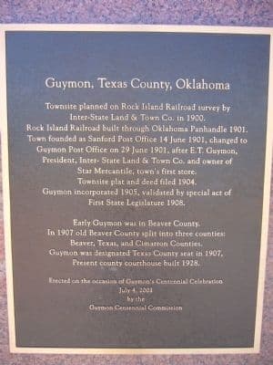
The city also gives the route its backstory. One Guymon history source says the town was originally called Sanford and was founded in 1901 by E.T. Guymon, a grocer and land speculator, after the Rock Island Railroad arrived. That railroad-era origin matters because it ties the modern county seat to the same transportation lines that still shape how people move through the Panhandle today.
How the marker trail works
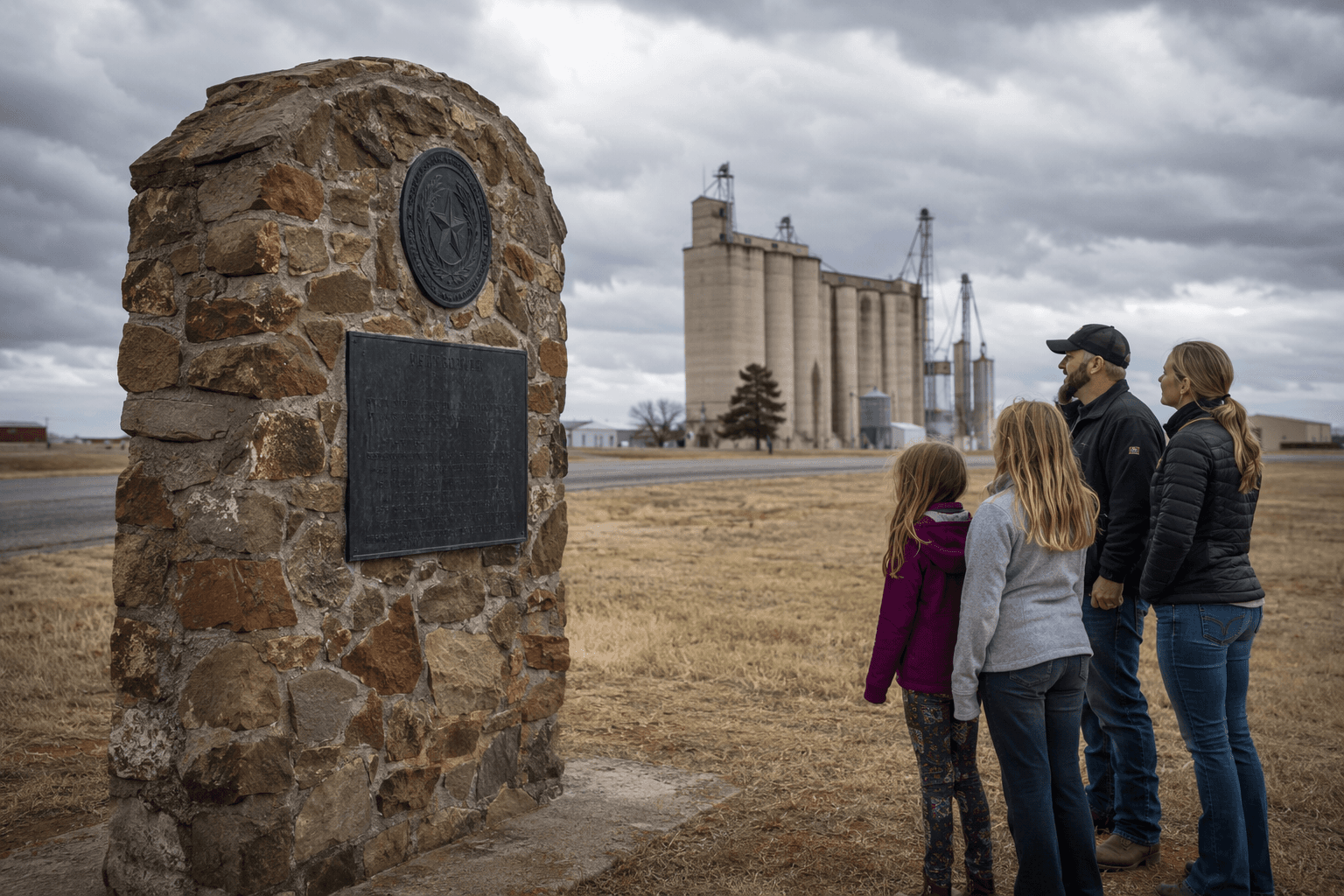
The Historical Marker Database lists 15 entries in Texas County, enough for a real self-guided itinerary instead of a one-off stop. Each entry typically includes the marker text, location, photos, and context for what the sign commemorates, which makes it useful for families, teachers, road-trippers, and anyone trying to connect the county’s present-day towns with the stories behind them.
That structure is what makes the trail practical. You do not need a museum membership or a scheduled tour. A county map and a phone are enough to turn a drive between Guymon, Hooker, Goodwell, Texhoma and Hardesty into a history run that can be done in a few hours or spread over a full weekend.
A simple way to approach it looks like this:
- Start in Guymon, where you can pair marker stops with food and shopping.
- Use the database entry for each sign to check location and context before you drive.
- Link towns by highway rather than trying to force the route into a straight line, since the value here is in easy access, not distance.
- Leave room for short detours, because the point is to work the markers into an ordinary Panhandle day, not build a formal tour.
What the markers say about Texas County
Texas County’s markers sit inside a larger county story that begins at statehood. The Oklahoma Historical Society’s encyclopedia says Texas County was one of three Oklahoma Panhandle counties created in 1907 from Beaver County, then known as the Public Land Strip. That gives the marker trail a broader frame: these signs are not random bits of local nostalgia, but stops in a county that was organized out of a frontier landscape.
The markers also connect living towns to the themes that built the Panhandle. Settlement, rail transportation, agriculture, civic institutions and statehood all run through the county’s public history, and the roadside format makes those themes visible in places people already drive through. Guymon’s encyclopedia entry adds another layer with a dust storm image captioned April 26, 1935, a reminder that the county’s memory includes Dust Bowl hardship as well as growth and railroad expansion.
That mix of subjects is part of the appeal for residents who want something more useful than a generic history lesson. A marker in town can explain why a street name matters, why a community formed where it did, or how a local institution came to be, and then the day keeps moving. The trail works because it folds county history into places where people already shop, commute and stop for gas.
The preservation system behind the signs
The signs are also part of a formal preservation pipeline. The Oklahoma Historical Society says its Historical Marker Program officially launched after World War II, and the same organization says it has been collecting, preserving and sharing history and culture since 1893. That makes the roadside signs part of a much older institutional effort, not just isolated plaques.
The application process matters too, because it shows how the county’s history stays active. OHS accepts marker applications twice each year, with deadlines of May 15 and October 15 at 5 p.m., and applicants are notified within 60 days. For Texas County, that helps explain why the marker inventory exists at all and why the trail can keep expanding over time.
A low-cost loop that fits real life
For local families and pass-through visitors, the appeal is the cost. There is no ticket price, no special admission, and no schedule to chase. The route is built on existing roads, existing towns and existing markers, so it can be used as a weekend outing, an educational side trip, or a reason to stop in towns that often get bypassed on the way across the Panhandle.
The county also has related history resources for anyone who wants to go further. The No Man’s Land Historical Society and nearby museum resources add another layer for readers who want to move beyond the roadside signs, but the marker trail stands on its own because it is immediate, visible and already in place. In Texas County, the past is not hidden in a single building. It is spread across Guymon, Hooker, Goodwell, Texhoma and Hardesty, right where the highways run.
This article was produced by Prism’s automated news system from verified source data, official records, and press releases, then run through automated quality and moderation checks before publishing. The system is built and supervised by the people who set the standards it runs under. Read our full AI policy.
Did this article answer your question?