Severe thunderstorm warnings hit Hooker, Guymon and Texas County Monday
Hooker, Guymon, Goodwell and Optima were under severe thunderstorm warnings as storms raced across the Panhandle, with gusty winds and more rounds possible later.
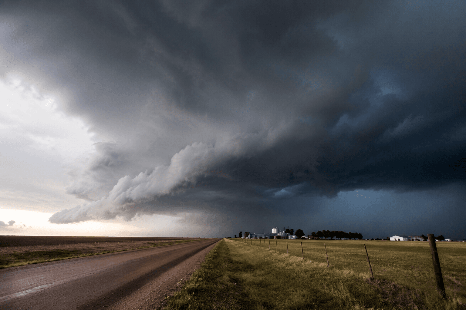
Severe thunderstorm warnings swept across Hooker, Guymon, Goodwell and Optima as a morning storm line moved through Texas County and into nearby Beaver County, with alerts lasting until 11:30 a.m. CDT. The warnings put the county seat, Guymon, in the path of a system that forecasters said could still produce damaging wind gusts even as the line weakened.
At 10:28 a.m. CDT, one severe storm was tracked 6 miles west of Hooker and moving northeast at 20 mph, a pace that kept communities across the western Panhandle under close watch as the cell advanced. The warning window stretched through late morning, signaling that the threat was not limited to a single town but covered a wider corridor of rural roads, homes and businesses across Texas County.
NWS Norman said showers and storms tied to a mesoscale convective system were moving across northern Oklahoma early that morning, and a few strong to severe wind gusts remained possible. Forecasters also said new convection could redevelop later in the afternoon along a residual front and outflow boundary across western Oklahoma into western north Texas, keeping the region in a volatile weather pattern after the first round passed.
The threat mattered in a county where severe weather has long been part of the record. Texas County’s tornado history stretches back to the 1800s, and the county’s population of 21,384 in the 2020 census is concentrated around Guymon, which had 12,965 residents. That makes each severe-weather round especially important for schools, farm operations, commuters and businesses tied to the Panhandle’s main population hub.
Forecasters said the pattern was not likely to end quickly. Additional shower and thunderstorm activity was expected to focus farther west on Wednesday and Thursday, with damaging winds the main risk. NWS Norman also maintains preliminary storm-data reports for western, central and southern Oklahoma and western north Texas, while certified storm data are available through NOAA’s National Centers for Environmental Information, the standard reference for documenting hail and wind impacts across the region.
This article was produced by Prism’s automated news system from verified source data, official records, and press releases, then run through automated quality and moderation checks before publishing. The system is built and supervised by the people who set the standards it runs under. Read our full AI policy.
Know something we missed? Have a correction or additional information?
Submit a Tip