Forest Service expands public closure area amid Northeast Oregon wildfires
Forest Service closure now covers the Anthony, Salmon and Olive Butte fire areas, blocking roads, trails and campgrounds inside the map. Violators face fines up to $5,000.
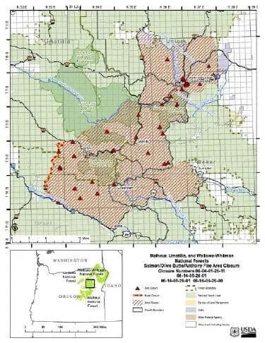
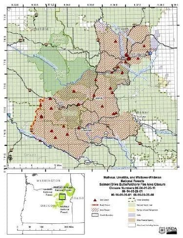
The U.S. Forest Service widened the public closure around the Anthony, Salmon and Olive Butte fires, cutting off National Forest System areas, roads, campgrounds, trails and trailheads inside the signed closure map. Anyone entering those prohibited areas can face a fine of up to $5,000 for an individual or $10,000 for an organization, plus up to six months in jail, or both.
The new order expanded an earlier Anthony Fire closure, pushing the no-entry boundary beyond the original fire area as crews dealt with multiple Northeast Oregon blazes at once. Union County residents and summer visitors should check every forest trip against the current closure map before heading toward the Wallowa-Whitman or Umatilla national forests, especially for camping, hunting, trail use or backroad travel.
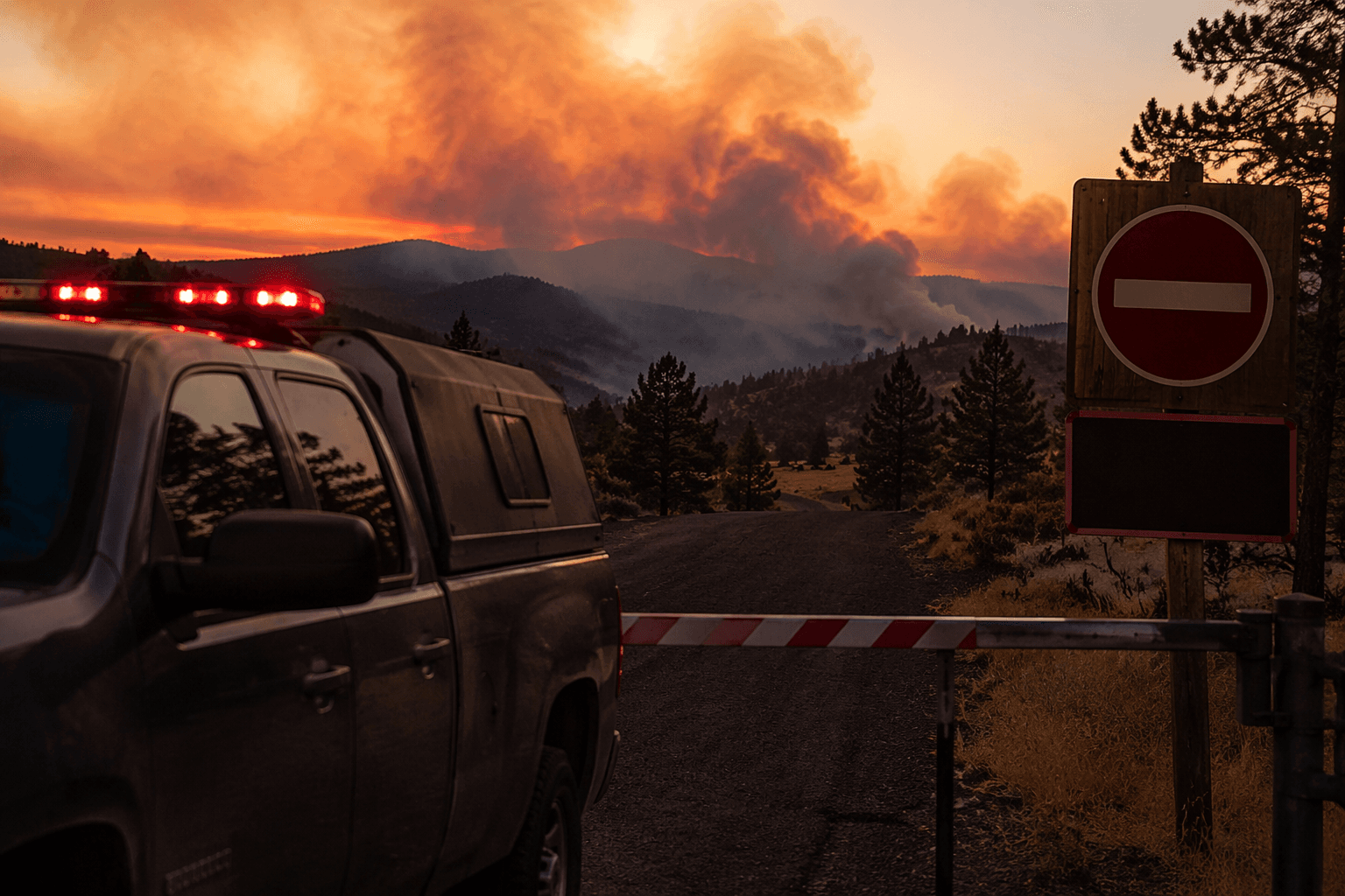
The timing lined up with a tight fire season across the county. Union County went into a burn ban on July 15, and the Wallowa-Whitman and Umatilla national forests tightened public use restrictions as hot, dry weather continued. The limits kept people out of changing fire ground and gave crews room to work without traffic on forest roads or in trail corridors.
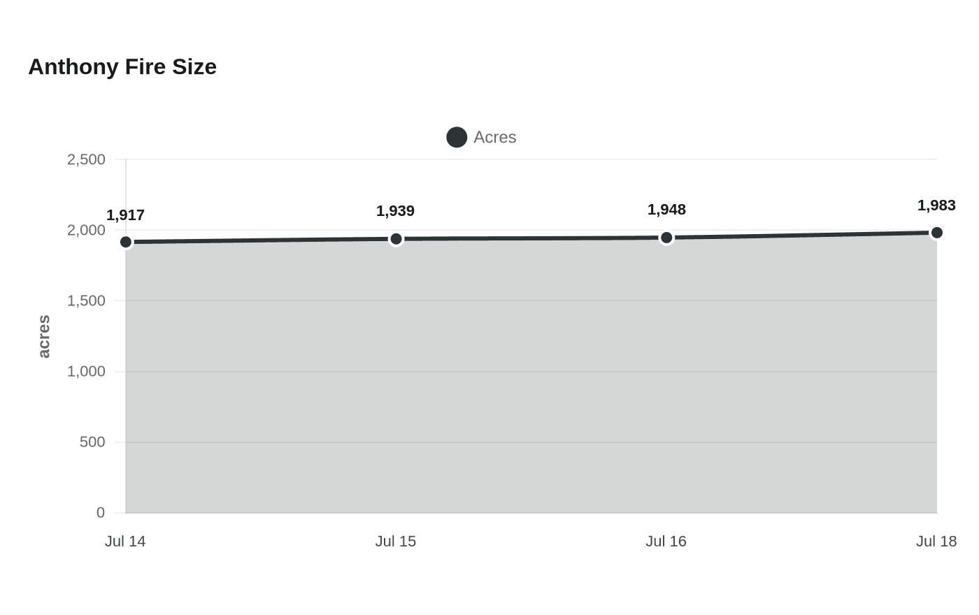
The Anthony Fire was 1,917 acres on July 14, when it started on July 8 about 34 miles north of Baker City. It grew to 1,939 acres on July 15, 1,948 acres on July 16 and 1,983 acres on July 18, and Northeast Oregon Incident Management Team 3 had officially assumed command. Officials also scheduled a community meeting for July 14 and posted a closure page with a fire information line at 541-523-6391 for updated access details.
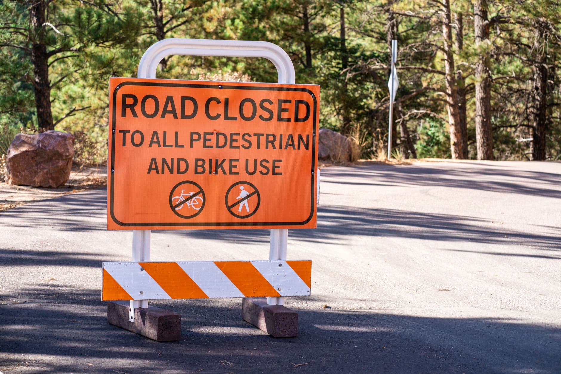
For anyone still heading outdoors, the legal line is simple: stay outside the closure boundary and any other active public use restrictions, and check the latest Forest Service information before driving into the mountains.
This article was produced by Prism’s automated news system from verified source data, official records, and press releases, then run through automated quality and moderation checks before publishing. The system is built and supervised by the people who set the standards it runs under. Read our full AI policy.
Did this article answer your question?