31 laws waived for Big Bend border barriers, what it means locally
Heavy equipment is already rolling toward the Rio Grande, and 31 waived laws mean Big Bend barriers may move ahead with less review of land, water, wildlife and heritage.

Heavy equipment moving toward the Rio Grande is the clearest sign that Big Bend border barriers have entered a new phase. The Department of Homeland Security’s Feb. 17, 2026 waiver swept aside 31 federal laws and regulations, shrinking the usual review that protects land, water, wildlife, archaeology and historic places.
What the waiver sets aside
For Val Verde County, the practical issue is not abstract border politics. It is what normally has to happen before a federal project can cut a road, clear a route or disturb a remote stretch of ground, and what can now move forward without those usual checks if the government decides they stand in the way of construction.
The waiver reaches into the rules that usually slow a project down long enough for the public to see what is at risk. The laws named in the local explainer include the Antiquities Act, which helps protect archaeological, historical and cultural sites; the Archaeological and Historic Preservation Act, which requires threatened resources to be preserved, documented or recovered; the Archaeological Resources Protection Act, which generally bars excavation or removal of artifacts from federal land without permits; the Historic Sites, Buildings and Antiquities Act, which protects historically important places and objects; and the National Historic Preservation Act, which normally requires federal agencies to study harm and consult with tribes, historians and preservation groups.
That means the usual sequence changes. Before a project advances, residents would normally expect surveys, consultation, documentation, and, in some cases, mitigation or recovery work if a site is likely to be damaged. Under a waiver, those protections can be set aside when the federal government says they interfere with border barrier construction.
Archaeology and historic sites
This is the bucket that matters most to families who know the Big Bend region as more than a line on a map. Archaeological sites, burial areas, old settlements and other cultural resources can sit in places that look empty until a road grader, backhoe or trenching crew arrives. The laws named above are designed to make sure those places are identified before they are altered, and to make sure artifacts are not simply scraped away.
Normally, if a federal project might disturb a site, the government has to study the impact and work with tribes, historians and preservation groups. The Archaeological Resources Protection Act also makes it illegal to dig up or remove archaeological materials from federal land without permits. With the waiver in place, those layers of oversight can be bypassed if they are viewed as obstacles to “expeditious construction,” the phrase CBP has used for the planned barriers and roads.
Water, wildlife and the landscape
The second bucket is the one ranchers, river users and conservation-minded neighbors will notice most quickly: land disturbance. The waiver covers rules that normally protect landscape, wildlife, water and other natural resources, which matters in a place where the Rio Grande is not just a border but the defining feature of daily life and recreation.
In practice, this is where residents would usually expect agency review of drainage, erosion, habitat fragmentation and the way a road or barrier might alter a wash, slope or riverbank. Without that review, construction can move faster, but it can also move before people understand how the work may change water flow, wildlife movement or access across remote terrain.
Public input and local oversight
The third bucket is public process. The National Historic Preservation Act is one of the clearest examples because it normally forces agencies to look before they leap, and to talk to people who know the land best. That includes tribes, preservation advocates and historians, but the logic also extends to the broader public that lives with the result.
For Val Verde County, that is the difference between a project that is reviewed in the open and one that can advance with far less notice. Residents who live on, work on or recreate near borderlands can lose the chance to flag concerns about a site, a wash, a trail, or a stretch of habitat before construction equipment is already on the ground.
Why Big Bend is a sensitive test case
Big Bend National Park makes this debate bigger than one county, but it also makes the local stakes easier to see. The park’s southern boundary follows the Rio Grande for 118 miles, and the park says it manages about 13 percent of the entire U.S.-Mexico border. That makes the Big Bend region one of the most sensitive landscapes in the country for any border infrastructure decision.
The Government Accountability Office has already documented why preservationists and conservationists worry about these projects. From 2017 through January 2021, federal agencies built about 450 miles of barriers along the southwest border, and GAO said some of that work harmed cultural and natural resources, including blasting at a tribal burial site and altering water flows. GAO has also noted that federal and tribal lands make up roughly 760 miles, or about 40 percent, of the southwest border, which helps explain why this kind of construction so often collides with protected places.
That history matters because it shows what can be lost before a community has time to object. In earlier construction, DHS solicited input from land-management agencies, tribes and the public, and GAO recommended better coordination so impacts could be mitigated. The Big Bend waiver sits inside that longer pattern, where the same federal power that can speed a project also reduces the safeguards that usually force a slower, more visible process.
What is already happening on the ground
The project is not just theoretical anymore. CBP has described the Big Bend work as part of a broader Smart Wall program, and in some materials it has said the plan includes barriers and roads. In other Big Bend reporting, the infrastructure has been described as vehicle barriers and patrol roads rather than a traditional 15- to 30-foot steel wall, which is an important distinction for neighbors trying to picture what will actually appear on the landscape.
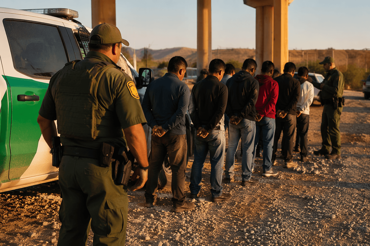
Marfa Public Radio reported in early June 2026 that Barnard Construction had been moving heavy equipment via Chispa Road toward the Rio Grande, a sign that the job is shifting from planning to field work. That matters for Val Verde County because once machinery is moving through a remote corridor, the question is no longer whether a project might someday affect the land. It is how much review, consultation and mitigation still happens before the terrain changes.
The local pushback has been strong. Six former Big Bend National Park superintendents wrote to DHS Secretary Markwayne Mullin in May 2026, expressing grave concerns about the barriers, roads and surveillance technology and calling the plan unnecessary and highly destructive. At the same time, Rep. Henry Cuellar’s attempt to bar federal funds for barriers in Big Bend failed in a House Appropriations Committee vote on June 10, 2026.
For readers in Val Verde County, the takeaway is straightforward: the waiver does not just speed construction. It changes the balance between building fast and protecting what sits in the path of the build, from archaeological sites and historic places to water flow, wildlife habitat and public oversight. In a region where the Rio Grande, Big Bend National Park and nearby public lands define daily life, that shift will be felt long before any new barrier is complete.
This article was produced by Prism’s automated news system from verified source data, official records, and press releases, then run through automated quality and moderation checks before publishing. The system is built and supervised by the people who set the standards it runs under. Read our full AI policy.
Did this article answer your question?