Del Rio advances San Felipe drainage plan to curb flooding
Engineers outlined drainage fixes for San Felipe blocks that flood between U.S. 90 and 277, as about 25 residents pressed for relief before the next heavy rain.
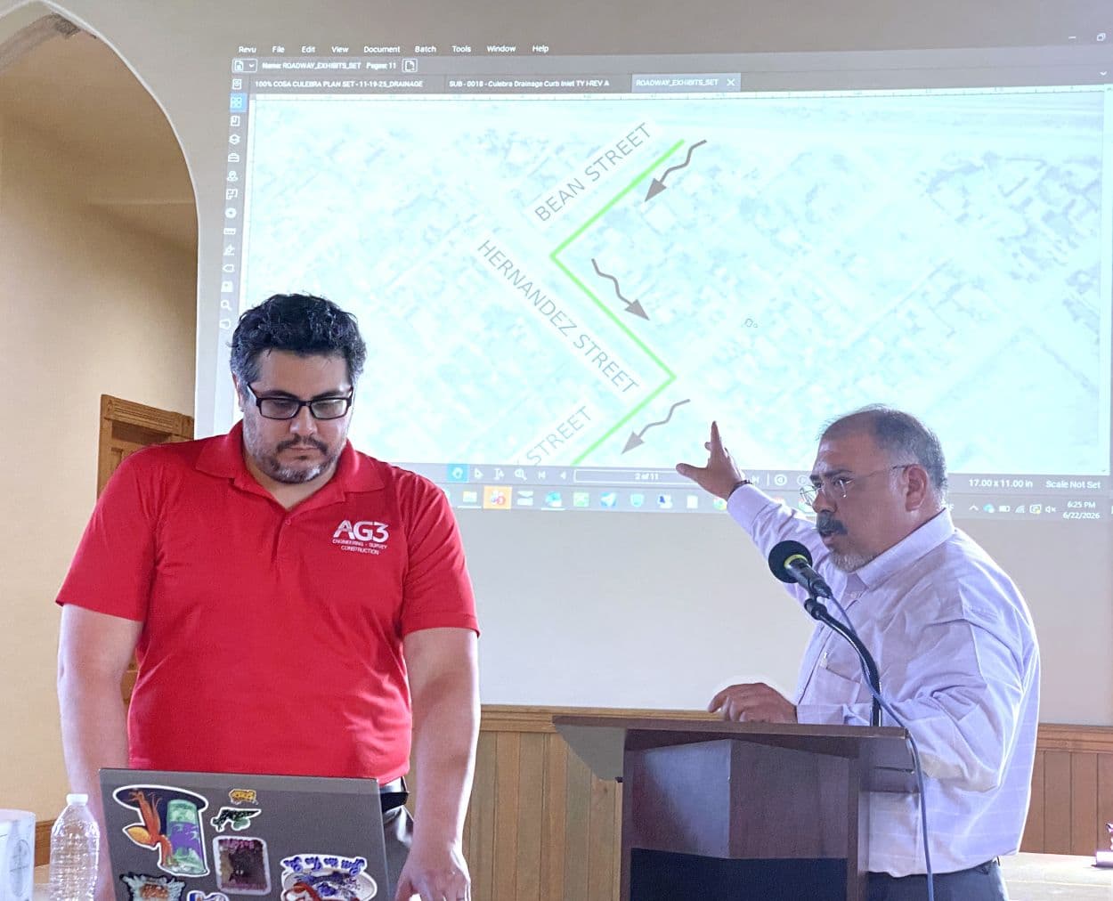
City leaders moved forward June 22 with a San Felipe drainage plan at the Texas Community Bank Community Room, where engineers laid out fixes for the south Del Rio blocks that collect runoff again and again between U.S. Highways 90 and 277. About 25 people attended the 6 p.m. to 8 p.m. meeting at 401 Pecan Street, including Mayor Al Arreola, several council members, Val Verde County Judge Lewis G. Owens Jr. and interim City Manager Manuel Chavez.
The city's presentation centered on the neighborhood streets most exposed to flooding, including Bean Street, E. Chapoy Street, Hernandez Street, Contreras Street, E. Rodriguez Street and Vitela Street. AG3 Engineers showed maps and drawings that traced how water moves through the area and how proposed changes could slow it down before it reaches homes and businesses.

Among the concepts on the table were street regrading, curb and gutter additions along select roadways, new storm drain infrastructure and a detention pond near Vitela Street. City staff framed the work as a response to a long-running quality-of-life problem that has damaged property, disrupted street access and left many residents waiting for a fix that might hold up when the next heavy rain hits.
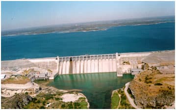
The drainage discussion sits inside a much larger water system. A Texas Water Development Board report says San Felipe Creek begins about six miles northwest of Farm Road 2523 and runs about 18 miles to the Rio Grande. The same report says San Felipe Springs typically feeds the creek at 50 million to 90 million gallons per day and that the creek is the sole source of drinking water for Del Rio and Laughlin Air Force Base. The planning area covers more than 40 square miles and includes threatened species such as the Devils River minnow and the San Felipe gambusia.
Del Rio’s Master Watershed Study ties that hydrology directly to the city’s infrastructure needs, laying out drainage design criteria, runoff computations, recommended channel improvements, proposed drainage structures and cost estimates. The study describes the plan as dynamic, a sign that engineers expect the city to keep adjusting as conditions change.
The urgency is rooted in Del Rio’s flood history. Tropical Storm Charley drove the deadly Aug. 23, 1998 flood that left much of San Felipe underwater and destroyed about 2,000 homes. In 2024, when the city reopened a time capsule tied to that disaster, Arreola said the flood hit the city from north side to south side. City officials have kept the threat in view since then, including 2025 discussions about emergency sirens for Del Rio and Val Verde County.
This article was produced by Prism’s automated news system from verified source data, official records, and press releases, then run through automated quality and moderation checks before publishing. The system is built and supervised by the people who set the standards it runs under. Read our full AI policy.
Did this article answer your question?