Amistad National Recreation Area anchors Del Rio’s outdoor identity and economy
Amistad is Del Rio’s working lake, not just scenery: 851 miles of shoreline, water access, camping rules and low-water conditions shape every visit.

Amistad National Recreation Area: Del Rio’s everyday outdoor refuge
Amistad is where Val Verde County goes to cool off, launch a boat, pitch a tent and spend a day outside without leaving home. The National Park Service calls it an oasis in the desert on the U.S. side of the International Amistad Reservoir, and that description fits the way Del Rio uses it: as a public space for boating, fishing, swimming, hiking, camping and wildlife viewing, all wrapped into one borderland landscape.
For a community in the desert, that matters far beyond scenery. Amistad is part of the region’s identity, economy and everyday quality of life, one of the few major outdoor spaces where families can gather and visitors can spend money in town before and after time on the water. The park’s mix of recreation and heritage also gives Del Rio something unusual, a lake that is both a weekend escape and a record of human life stretching back nearly 5,000 years.
A park built around the water
Amistad National Recreation Area was established on November 28, 1990, and it covers 57,292 acres. When the reservoir sits at conservation pool level of 1,117 feet, the park includes 17,820 land acres, but the real scale of the place is best measured in shoreline. The reservoir has 851 miles of total shoreline, with 547 miles on the U.S. side and 304 miles on the Mexico side.
The park boundary reaches 74 miles up the Rio Grande, 25 miles up the Devils River and 14 miles up the Pecos River. That layout makes Amistad feel less like a single lakefront and more like a network of coves, river arms and launch points spread across the desert. It is also what gives the park its practical value for local recreation, because boaters, anglers and day visitors do not experience it as a postcard, but as a working waterway with access points, ramps and campgrounds.
The name Amistad comes from the Spanish word for friendship, a fitting label for a borderland park that links Texas, Coahuila, Mexico and the Rio Grande corridor in one shared landscape. The setting supports a wide range of plant and animal life above and below the water, which is why the park draws not only anglers and boaters but also birders, wildlife watchers and students looking for outdoor education.
How locals use it, and where to start
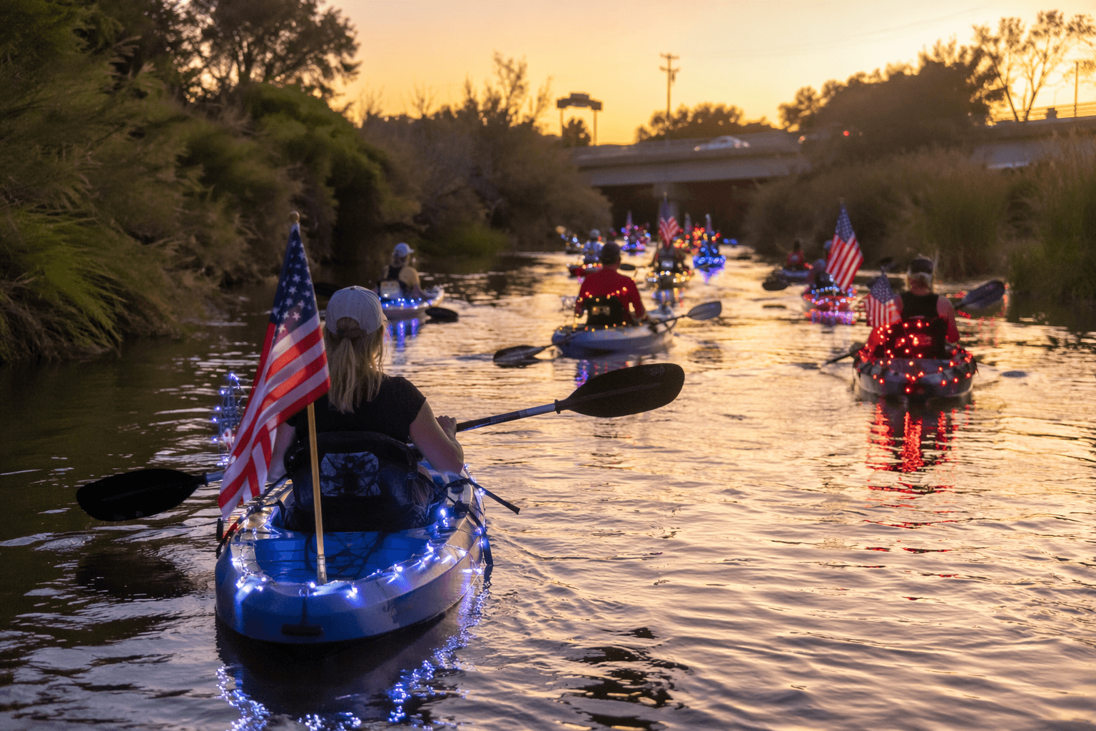
For most families, Amistad is about simple access. Boating is one of the park’s biggest draws, fishing is a steady year-round use, and camping turns the lake into a longer stay instead of a quick outing. Recreation.gov describes the park as a place for rock art viewing in addition to camping, hiking and boating, so the trip can be as active or as low-key as a family wants it to be.
If the goal is a day on the water, the practical side matters most. The park charges a lake use fee for watercraft that require state registration, and it does not process vessel registrations. Camping permits are required only for five designated campgrounds: Governors Landing, Rough Canyon, San Pedro, Spur 406 and 277 North. That is useful for planning because it keeps the visit focused on the few places where overnight use is officially organized.
The park’s best-known launch areas have also been shaped by water conditions. Low lake levels have affected boating access in recent years, and many ramps closed during historic low-water periods in 2013, 2022 and 2024. The NPS records the reservoir’s second historic low on May 23, 2013, when the water fell to 1055.93 feet above mean sea level, 61.07 feet below conservation pool level. At current low-water conditions noted by the park, only the left side of Diablo East and Rough Canyon boat ramps are open, and Spur 406 and Spur 454 may be too shallow for most boats.
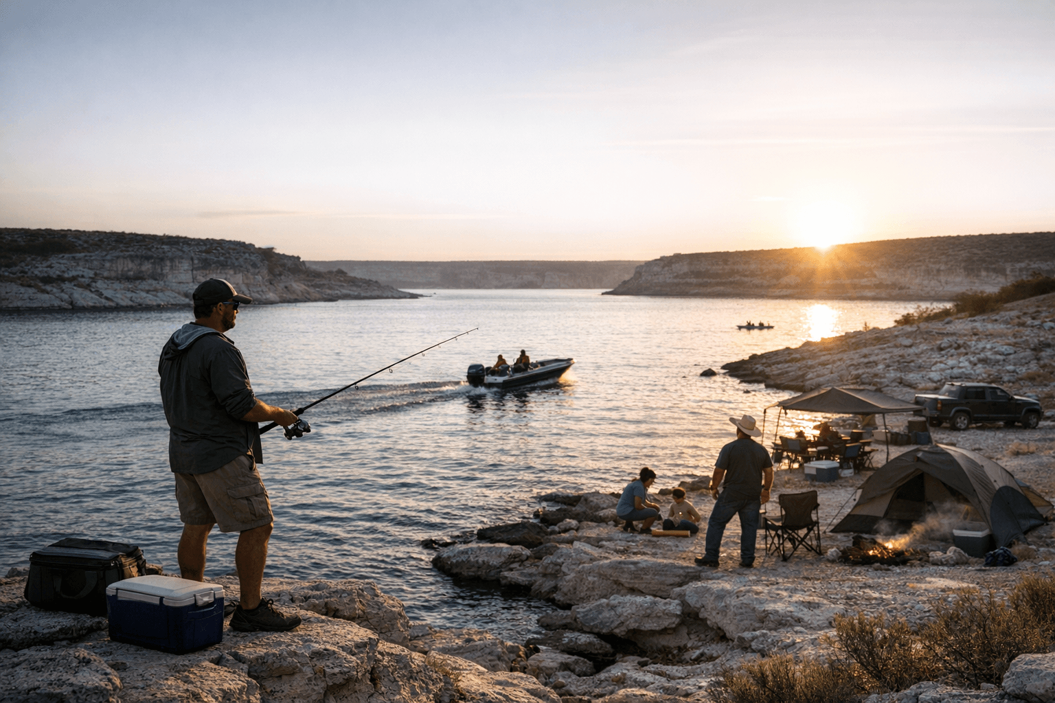
That makes checking conditions essential before leaving Del Rio. A family planning a Saturday on the lake needs to know whether a boat can actually get in and out, not just whether the water looks inviting from shore. The conditions also matter for tournament organizers, who work with the park on invasive-species inspections and clean-drain-dry guidance.
Why the park matters to the county’s economy
Amistad is more than a recreation area. It is part of Del Rio’s tourism economy and a draw for boaters, anglers and cross-border visitors who spend money on fuel, food, supplies and lodging around the park. National Park Service materials identify boating, fishing, camping, hiking and wildlife viewing as core uses, and visitor-spending materials referenced in park factsheets underline that the area contributes to local economic activity.
That economic role fits the park’s geography. Amistad sits in southern Val Verde County, about 12 miles northwest of Del Rio, so it is close enough for a quick outing and large enough to support repeat visits. In a county where public outdoor options are limited by desert heat and distance, the reservoir gives residents and visitors a rare combination of open water, shade, shoreline and campgrounds.
The park’s borderland character also means visitors should stay alert and use common sense. The National Park Service says incidents involving recreational visitors to the Del Rio and Amistad area are very rare, but it still advises people to report suspicious activity to park rangers or other law enforcement. That guidance reflects the reality of a binational park where recreation, international boundaries and everyday law enforcement all overlap.
A deeper history than most visitors realize
The outdoor value of Amistad sits on top of a much older human story. The National Park Service says the cultural history of the area reaches back nearly 5,000 years, and the Lower Pecos River Archeological region, which includes the Amistad area, spans about 7,900 square miles and contains more than 2,000 recorded archaeological sites. Evidence of human occupation there stretches back more than 10,000 years.
That history is not abstract. The region is known for rock art viewing, and the archaeological record is considered world-class, comparable to major rock-art traditions in Europe, Australia and Baja California. For Val Verde County, that means Amistad is both a public playground and a heritage site, a place where modern recreation sits beside one of the oldest cultural landscapes in the region.
Amistad Dam, completed in 1969, created the reservoir that defines the park today. The U.S. side of the land was transferred to the National Park Service in 1990 when Congress designated the recreation area, turning a major piece of federal water infrastructure into one of the county’s most important public assets. That transformation still shapes daily life in Del Rio, where the lake remains one of the few places that can serve both as a family outing and as a visible symbol of the county’s connection to the Rio Grande corridor.
This article was produced by Prism’s automated news system from verified source data, official records, and press releases, then run through automated quality and moderation checks before publishing. The system is built and supervised by the people who set the standards it runs under. Read our full AI policy.
Did this article answer your question?