Border Patrol Drones Locate, Apprehend Seven Migrants Near Del Rio
A drone at 1,200 feet found seven migrants in Del Rio brush April 4 before any ground agent got close. The Del Rio Sector's aerial program posts an 80% apprehension rate, and most Val Verde residents never hear it coming.
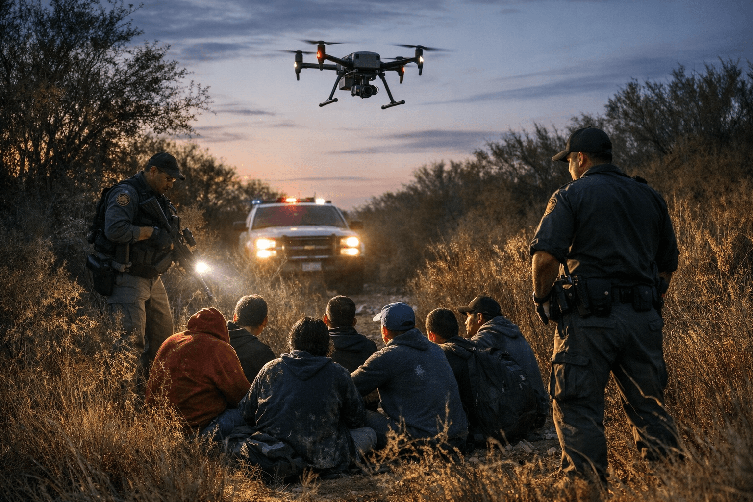
Seven undocumented migrants detected in dense brush near Del Rio on April 4 never saw the aircraft that found them. The drone was operating at roughly 1,200 feet, well beyond earshot, using infrared cameras with a 30-times optical zoom to scan arroyos and remote terrain that would have taken ground patrols hours to cover on foot.
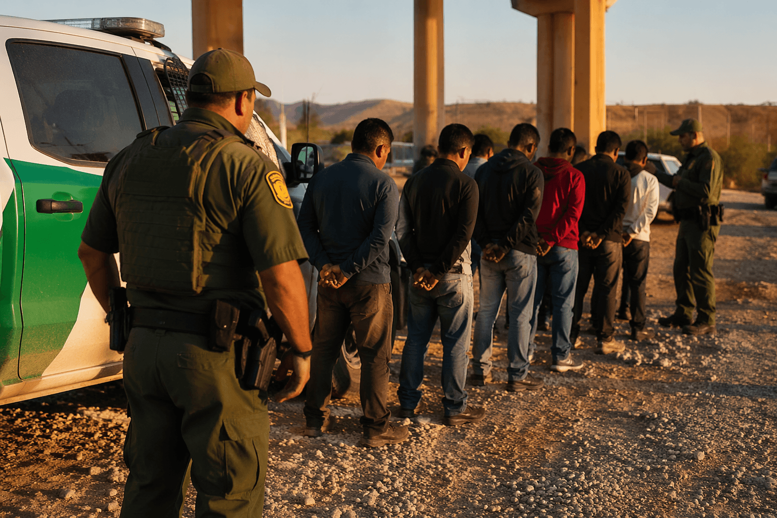
The small unmanned aerial systems used by Border Patrol fit in the back of a patrol vehicle and can be in the sky within minutes, a logistical advantage over coordinating manned helicopter flights. Once the drone locates a group, it transmits GPS coordinates to agents on the ground and can designate the exact position with a laser, so agents know precisely where to move without searching by flashlight through scrub. On April 4, ground teams reached all seven migrants, took them into custody, and conducted on-site medical evaluations.
The Del Rio Sector's small UAS program has detected roughly 3,500 individuals and produced more than 2,700 apprehensions in the current fiscal year, an apprehension rate of approximately 80 percent. The platforms are operated by Border Patrol agents assigned to stations at Eagle Pass, Eagle Pass South, Carrizo Springs, Comstock, and Brackettville, covering the sector's roughly 245 miles of Rio Grande river border.
The quadcopters carry both daytime cameras and nighttime infrared sensors and fly for about 30 minutes per sortie depending on weather conditions. The infrared capability is significant for Val Verde County specifically: migrants crossing through Comstock, Langtry, or the Devils River corridor often move at night to avoid detection, but body heat remains visible against the cooler brush.
For ranchers and residents along Highway 90 west toward Comstock, the practical benefit is largely invisible but downstream: fewer prolonged ground searches crossing private fencelines, shorter foot pursuits through pasture, and faster emergency medical response when migrants are found dehydrated in terrain that reaches triple digits by mid-morning from May through September.
The technology also carries legitimate community questions that the Del Rio Sector has not fully answered publicly. How many drone sorties fly over Val Verde County's unincorporated areas each week? What does the per-hour operational cost compare to a manned helicopter deployment? Is there a formal process for residents to report privacy or noise concerns? Border Patrol has not publicly disclosed deployment frequency or unit costs, describing those figures as law-enforcement sensitive. Residents with questions or concerns can contact the Del Rio Sector directly at 1-866-511-8727.
What the sector has documented is outcome. The April 4 operation illustrates the changed math of detection in this corridor: a group moving through brush and arroyos, likely invisible to any passing vehicle on a caliche road, was located, coordinated, and intercepted before agents on the ground could have independently covered the same terrain. At 80 percent, the apprehension rate from drone-detected encounters is significantly higher than the sector's overall rate, suggesting the technology is not merely finding more people but finding more of the ones it finds.
This article was produced by Prism’s automated news system from verified source data, official records, and press releases, then run through automated quality and moderation checks before publishing. The system is built and supervised by the people who set the standards it runs under. Read our full AI policy.
Did this article answer your question?