Flash flood warning issued for Vinton County, heavy rain hits area
Flash flooding hit Vinton County after 3 to 4.5 inches of rain, with McArthur, Lake Hope State Park and Zaleski in the warning zone.

Flash flooding threatened Vinton County roads early Thursday after the National Weather Service said thunderstorms had already dumped 3 to 4.5 inches of rain across the county, with another half-inch possible. The warning covered McArthur, Lake Hope State Park, Zaleski, Creola, Allensville and Eagle Mills, where water could rise fast in small creeks, streams, underpasses and other low spots.
The alert, issued by the National Weather Service in Charleston, West Virginia, said flash flooding was ongoing in Vinton County and could spread across highways, streets and poor-drainage areas before morning travel was over. In Athens County, the same storm system prompted an extension until 10:15 a.m. after 3 to 5 inches of rain had already fallen there. The Vinton County warning was active from 6:40 a.m. to 9:45 a.m. EDT.
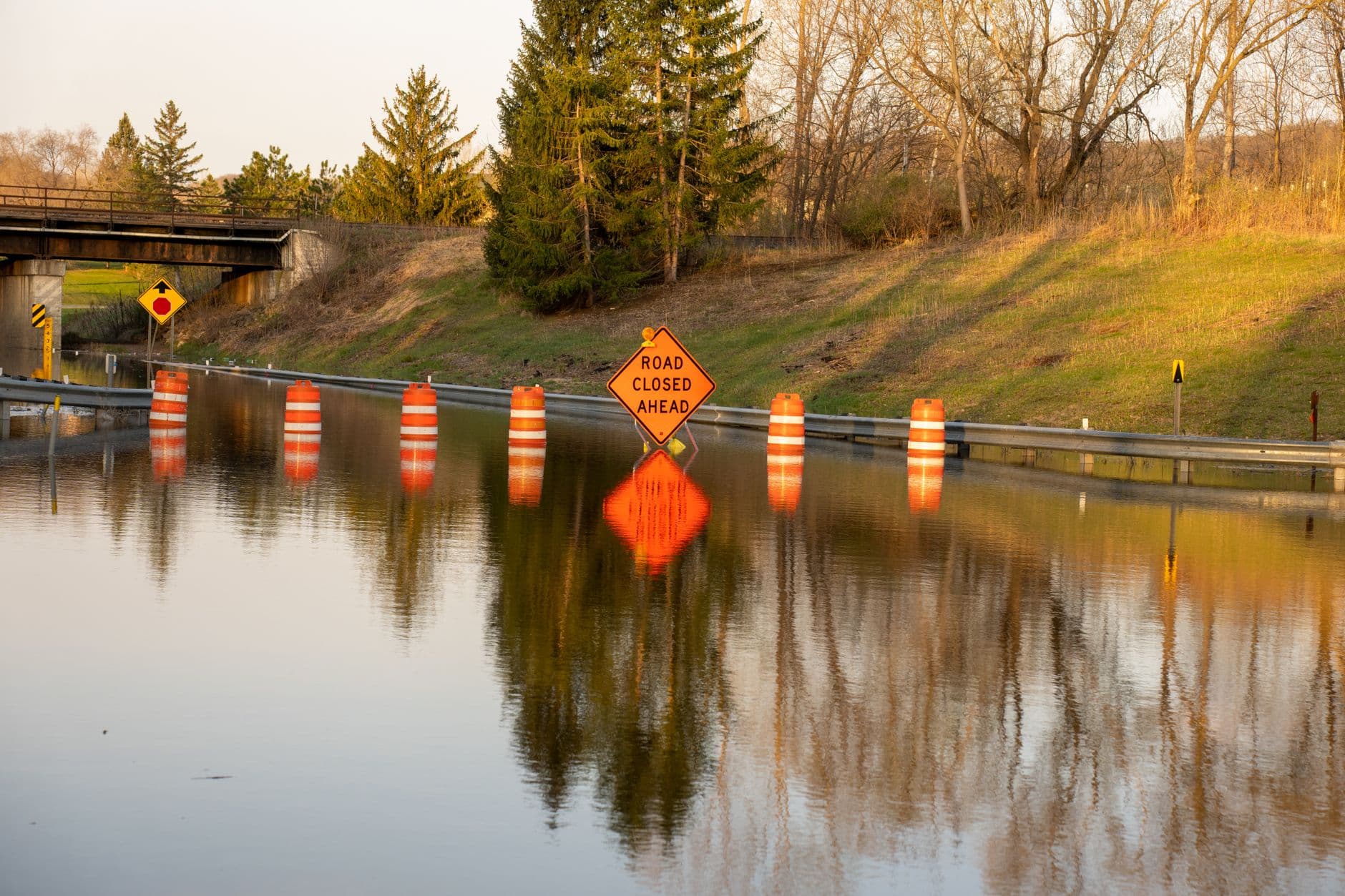
No specific road closures or damage reports were listed in the alert, but the danger was immediate for rural travel where narrow roads and creek crossings can turn unsafe in minutes. Drivers were urged to avoid flooded roads and move to higher ground if water rose quickly. That warning carries extra weight in southeastern Ohio, where a road that looks passable can hide deeper, faster-moving water than it appears.
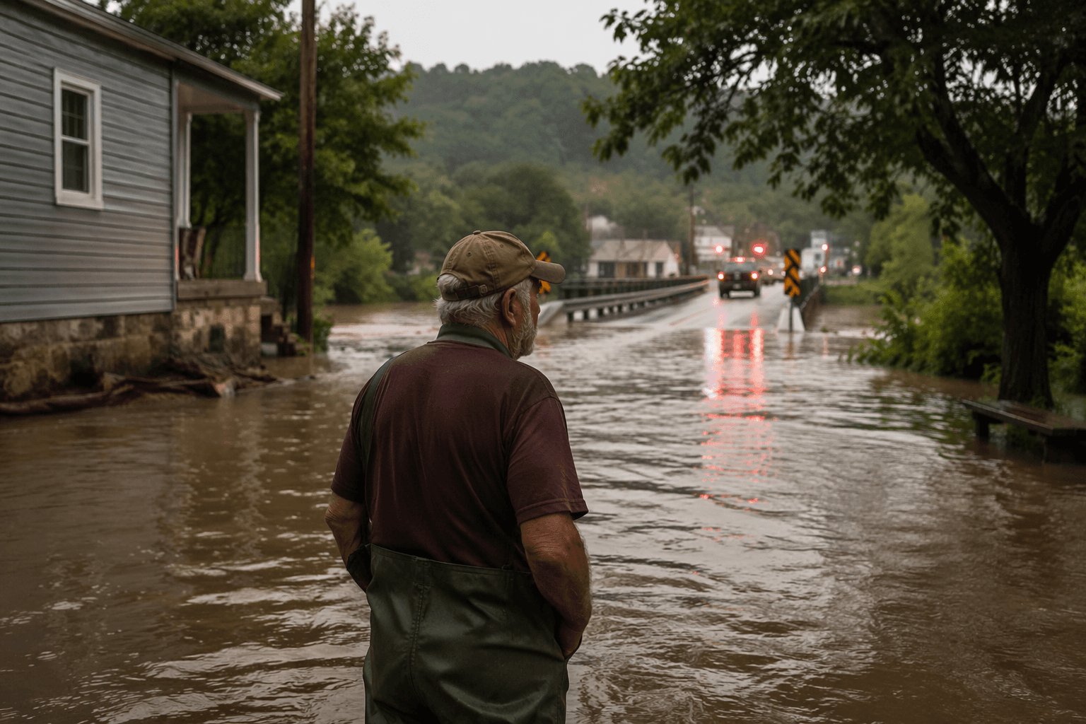
State safety guidance says 6 inches of moving water can knock an adult down. One foot can sweep away a small vehicle, and 2 feet can carry away most vehicles, including SUVs and pickup trucks. Those numbers matter in Vinton County, where commuters often rely on back roads and low-lying routes to reach McArthur, Zaleski and other small communities.
The wider region was already showing how quickly the storm could affect travel. NOAA’s Hocking River gauge at Athens lists flood impacts that can reach Athens, Nelsonville, Chauncey and Coolville, including flooding near Ohio University, downtown Athens and along Ohio Routes 13 and 682. That kind of river and creek flooding can disrupt the morning commute long before a main highway is overtopped.
Residents were told to keep tracking emergency messages, avoid unnecessary driving and be ready to leave low-lying areas if conditions changed again. With thunderstorms already pushing heavy rain across the area, the safest move was to stay clear of water-covered roads until the warning expired.
This article was produced by Prism’s automated news system from verified source data, official records, and press releases, then run through automated quality and moderation checks before publishing. The system is built and supervised by the people who set the standards it runs under. Read our full AI policy.
Did this article answer your question?