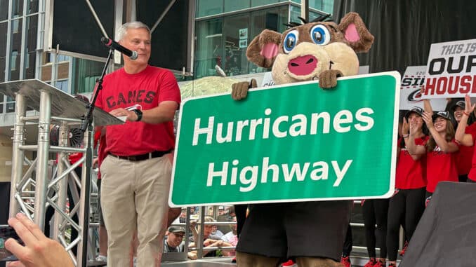
Raleigh growth tests neighborhood protections as overlay districts face pressure
Raleigh’s neighborhood overlays still have power, but they can be narrowed or removed as growth pressure, lawsuits and protests reshape established streets.
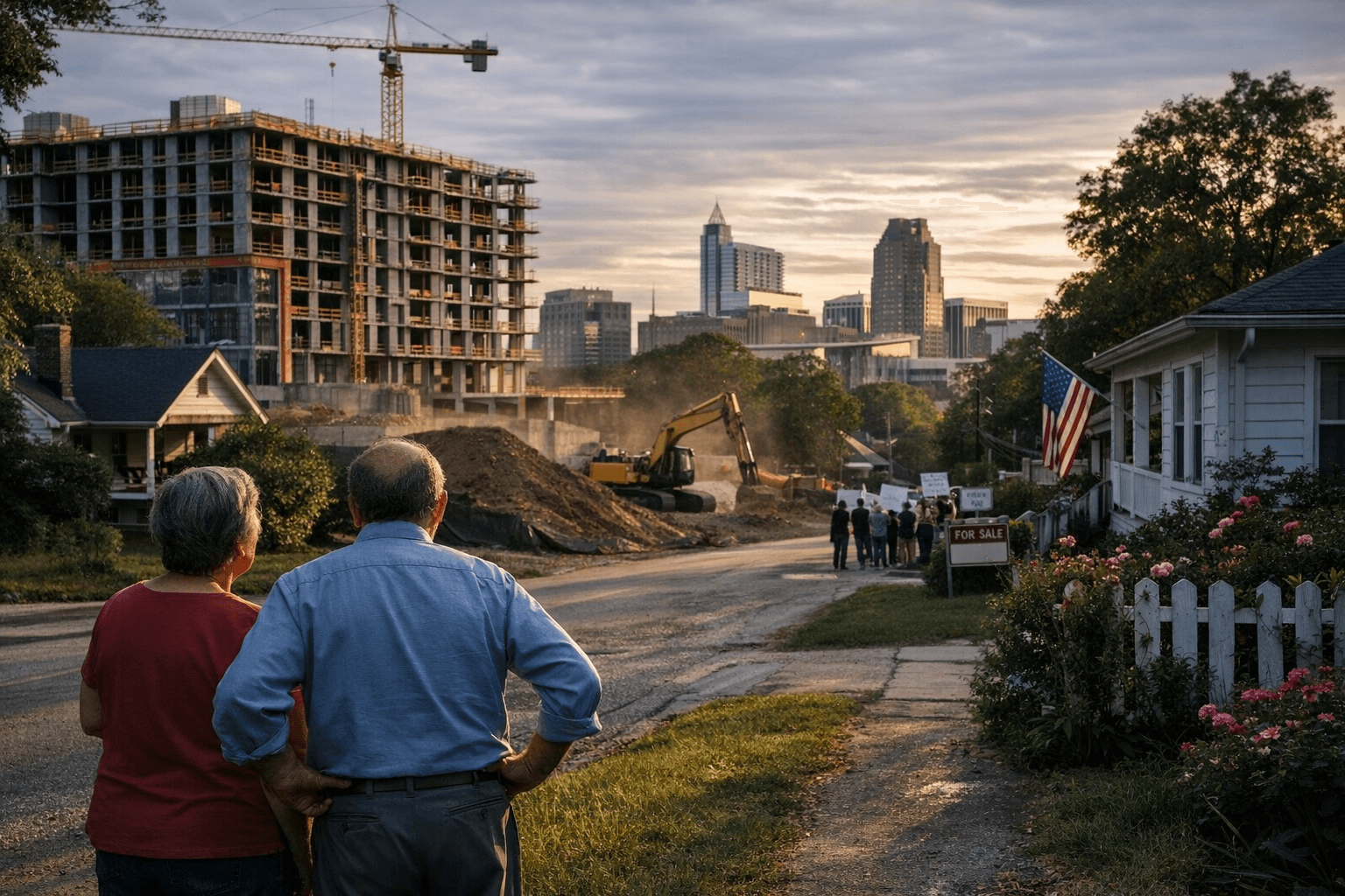
Raleigh’s growth fight is turning on the city’s neighborhood overlays. These are the rules that can still hold a taller project back, or vanish when Council redraws the map, and the stakes are easy to see on blocks where longtime homeowners are trying to keep a neighborhood from changing too fast.
What Raleigh’s overlays are designed to protect
Raleigh uses overlay districts to put an extra layer of rules on top of base zoning in targeted areas. The city says Neighborhood Conservation Overlay Districts, or NCODs, are meant to preserve and enhance the general quality and appearance of established neighborhoods by regulating lot size and frontage, building setback, and building height. Historic Overlay Districts, or HODs, go further in historic areas by requiring approval before exterior changes, demolition, or new construction can move ahead.
That distinction matters because Raleigh’s regular residential zoning already allows a fair amount of development. City materials say residential districts are intended to protect established neighborhoods while also promoting planned and efficient future residential development, with densities of up to 10 dwelling units per acre and buildings as tall as three stories and 40 feet. In other words, the base rules already permit meaningful change. The overlays are the pressure valve, or the brake, depending on which side of the argument you are on.
Where the rules still have teeth
For residents trying to preserve a street’s scale, the strongest protection is the overlay itself. Raleigh says its official zoning map covers every parcel in the city’s jurisdiction, and more than one overlay district can apply to the same parcel. That means a single lot may face both base zoning rules and extra overlay requirements, which can limit how far redevelopment can go.
NCODs are not casual designations. Under the Unified Development Ordinance, applications generally must cover at least 15 contiguous acres, be signed by a majority of property owners in the proposed area, and include a neighborhood where at least 75% of the lots are already developed. That threshold makes NCODs a tool for established neighborhoods, not open fields. Raleigh also requires that the area already have adopted specific neighborhood built environmental standards before the city can move forward, which means the case for an overlay has to be built on existing character, not a wish list.
HODs carry even firmer controls. No exterior portion of a designated historic property can be erected, altered, restored, moved, or demolished until a Certificate of Appropriateness has been submitted and approved. For homeowners, that can mean slower and more closely reviewed changes. For developers, it can mean a project that would have sailed through under standard zoning now faces an additional public process and a harder path to demolition or new construction.
How a neighborhood can seek an NCOD
Raleigh does not hand out an NCOD automatically. Citizens can petition City Council for a study, and then city staff analyzes the neighborhood’s built characteristics. The city holds a neighborhood meeting for affected property owners, and Council decides whether to authorize a text change that would fold the regulations into the Unified Development Ordinance.
That process is important because it shows where the city still gives neighborhoods a formal route to defend themselves. If residents want stronger lot-size, setback, frontage, or height rules, they have to organize, meet the acreage and ownership thresholds, and make the case that the neighborhood’s existing built form deserves protection. The process is demanding, but it is still one of the few ways local residents can push back before a wave of redevelopment arrives lot by lot.
There is also a limit built into the rules that can matter after older houses disappear. The UDO says property that was voluntarily torn down or discontinued cannot simply be reconstructed under the old NCOD rules. That provision can prevent a neighborhood from locking in past protections after a teardown, which is one more reason these districts become so contentious once demolition starts to accelerate.
Where the system is being weakened or bypassed
The most obvious weak point is that overlays can be removed. Local reporting in April 2026 described Raleigh removing a conservation overlay district on South King Charles Road, a move that allowed higher-density homes and set off another round of debate over what neighborhood protections are worth. That kind of decision shows how dependent overlays are on political support at Council. If the map changes, the protection goes with it.
That is why the current debate is so heated. Local reporting has described a broader “missing middle” growth war in Raleigh, with zoning reforms, high-rise proposals, lawsuits, and protests all colliding at once. Pro-growth voices argue the city cannot afford to slow down. Neighborhood-preservation advocates argue that once a district loses its overlay, the city gives up one of the few tools it has to keep new construction in scale with older streets.
RaleighForward, a pro-growth advocacy effort launched in 2021 by retired land-use attorney Eric Braun, is part of that pressure. On the other side are homeowners and preservation advocates who see overlays as the last line of defense against rapid change. The result is not a quiet planning debate. It is a direct struggle over who gets to decide what Raleigh neighborhoods look like ten years from now.
The next decision that could reshape neighborhoods
The biggest policy backdrop is Raleigh’s next comprehensive plan. The city says Reflecting Raleigh included more than 90 events and reached over 12,000 community members between July 2024 and September 2025 as it shaped the plan that will guide growth beyond 2030. That matters because the current 2030 Comprehensive Plan was adopted by City Council on October 7, 2009, became effective November 1, 2009, and was updated in 2019. It is the city’s long-range policy document for growth and development, but it is not meant to last forever.
As Raleigh prepares the plan that will replace it after 2030, the key question is whether the city treats overlays as essential neighborhood safeguards or as obstacles to be trimmed back. That decision will shape where taller buildings go, how much change established neighborhoods absorb, and whether Raleigh still has a meaningful way to separate compatible infill from the kind of redevelopment that overwhelms a block.
This article was produced by Prism’s automated news system from verified source data, official records, and press releases, then run through automated quality and moderation checks before publishing. The system is built and supervised by the people who set the standards it runs under. Read our full AI policy.
Did this article answer your question?