RDU opposes rezoning for 700 homes near northwest Raleigh airport
RDU warned that a 31.58-acre rezoning off Leesville and Shady Grove could put more than 700 homes too close to flight paths, setting up a new test for Raleigh growth.
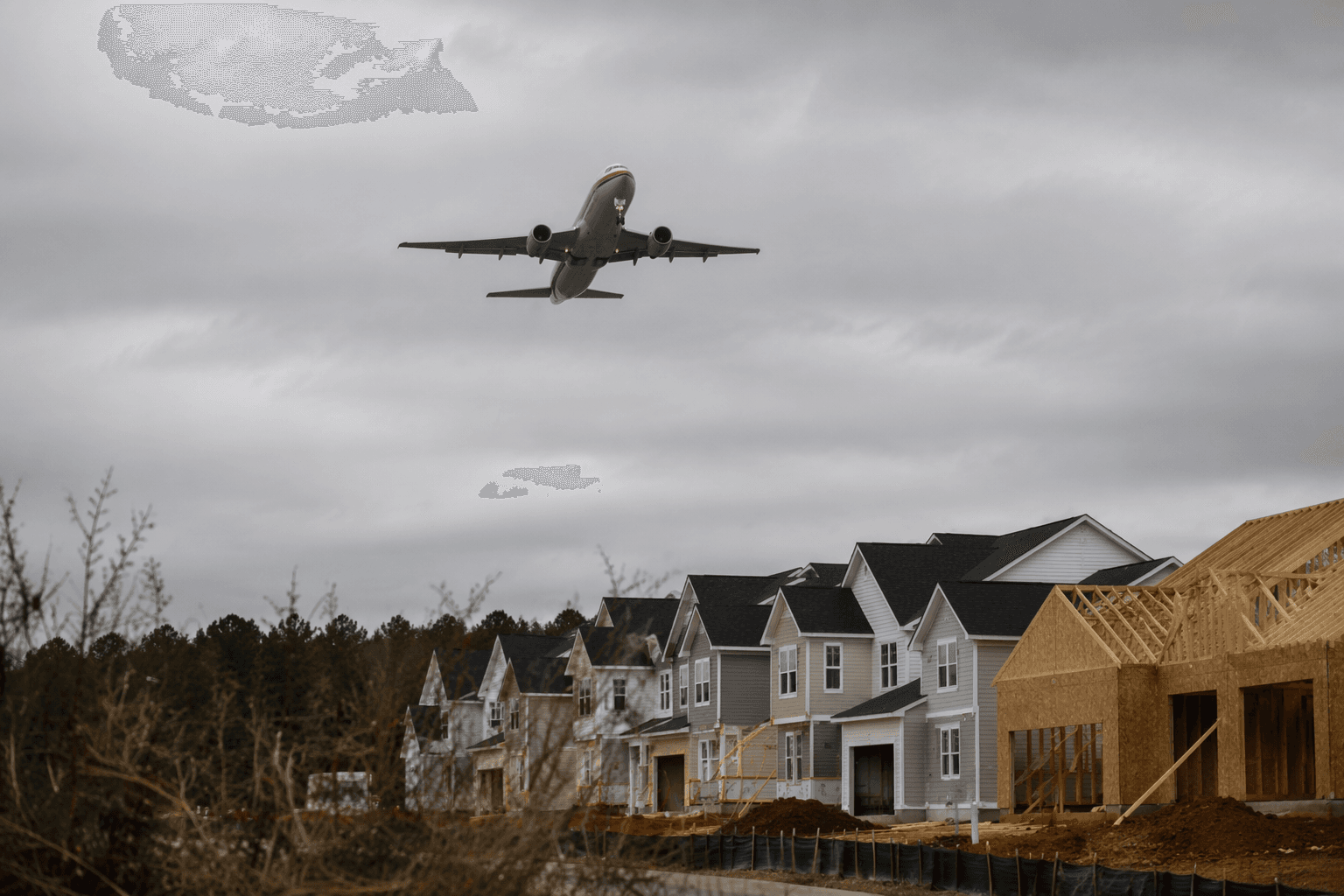
Raleigh-Durham International Airport has pushed back against a rezoning that could open the door to more than 700 homes on 31.58 acres in northwest Raleigh, raising a familiar Triangle fight over where housing can go when flight paths are close by.
The case, Z-54-25, covers three parcels at 12301 and 7652 Leesville Rd and 3321 Shady Grove Rd. Raleigh’s rezoning portal says the request would allow residential, office, limited commercial retail or a mix of those uses on land now described as undeveloped. If approved, the change could set the stage for a major new neighborhood between Leesville Road and Shady Grove Road, one that would sit within the broader shadow of the region’s main airport.
RDU’s objection is rooted in long-term compatibility concerns. The airport says Federal Aviation Administration research links aircraft noise to resident annoyance, which is why airports often resist housing moving too close to flight paths. Raleigh’s Unified Development Ordinance makes that concern concrete: the Airport Overlay District applies within RDU flight patterns and prohibits household living there. The city says proposed zoning conditions for this case would require any recorded plat to disclose RDU-related information.
The landowners told the City of Raleigh Planning Commission on Tuesday that they do not yet have firm plans for the site. That uncertainty makes the rezoning more consequential, because the decision would not just affect one tract of land. It would help determine whether Raleigh is willing to reserve a pocket near RDU for future housing, even as the airport warns that such growth can create future noise complaints and land-use conflicts.
The Planning Commission, which typically meets on the second and fourth Tuesdays of each month at 9 a.m. at the Raleigh Municipal Building, will make a recommendation before the proposal goes to City Council. The case also lands in a broader regional pattern. In 2020, the RDU Airport Authority opposed a Morrisville land-use change that would have authorized multi-family housing in high-noise areas inside the airport overlay district. At the time, the authority said the airport served 14.2 million passengers in 2019, supported 230,000 aircraft operations and generated more than $12 billion in economic impact.
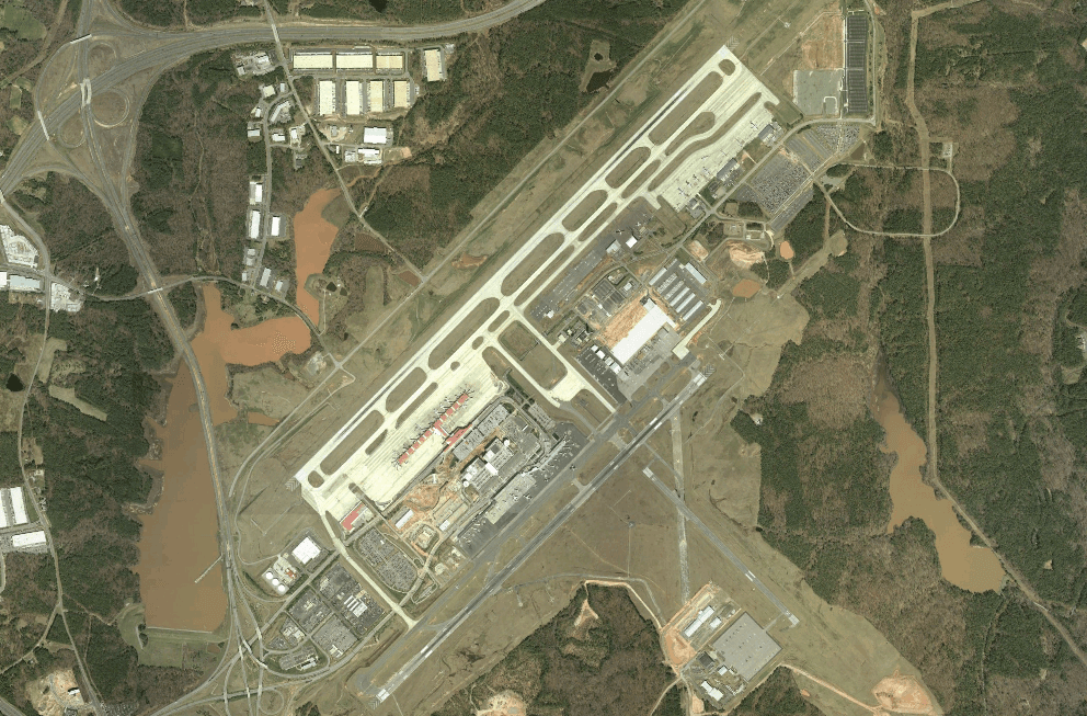
RDU says its current noise contours are based on 1992 Noise Exposure Maps, and the airport authority says the overlay districts were established in the early 1990s after a lengthy regional public process. That history now frames the debate in northwest Raleigh: whether the county’s housing demand should bend toward the airport, or whether development near RDU should stay limited to protect operations, reduce conflicts and preserve the compatibility rules built around the airfield decades ago.
This article was produced by Prism’s automated news system from verified source data, official records, and press releases, then run through automated quality and moderation checks before publishing. The system is built and supervised by the people who set the standards it runs under. Read our full AI policy.
Know something we missed? Have a correction or additional information?
Submit a Tip