Severe thunderstorm warnings hit Wake County, damaging winds possible
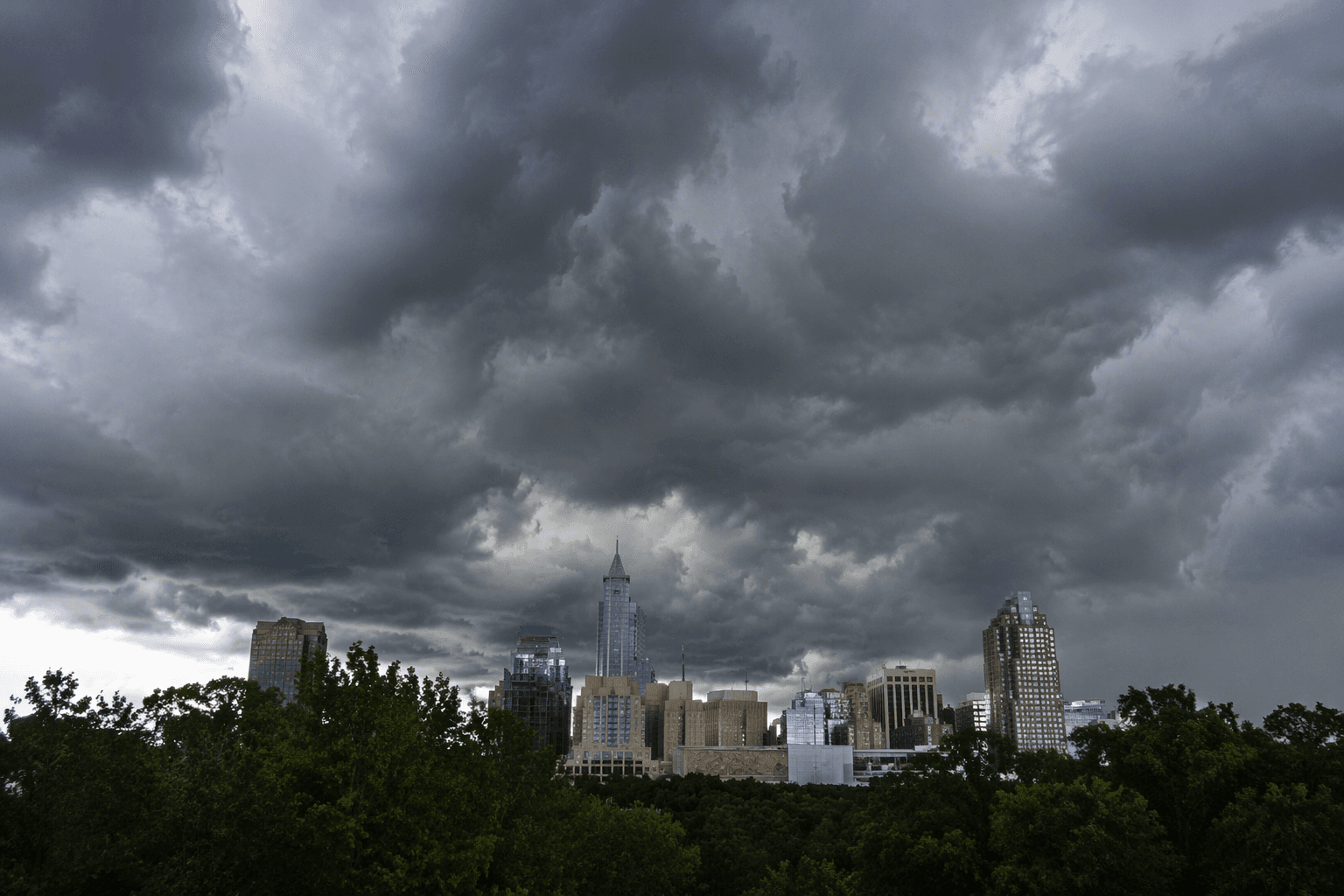
Wake County sat under multiple severe thunderstorm warnings Friday afternoon, with 60 mph gusts, penny-size hail and tree damage possible from Raleigh to Fuquay-Varina.
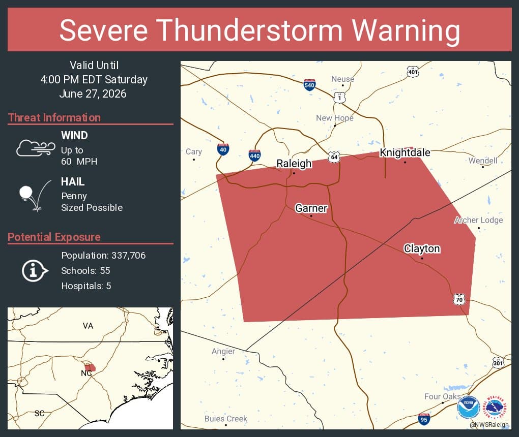
National Weather Service Raleigh issued a severe thunderstorm warning at 2:36 p.m. EDT for northern Harnett County, northeastern Lee County, southwestern Wake County and southeastern Chatham County. Damaging winds threatened Raleigh, Garner, Clayton, Apex, Holly Springs and Fuquay-Varina Friday afternoon as storms moved east across the region.
The warning was set to run until 3:30 p.m. EDT, and the storms were moving east at about 25 mph. It called for wind gusts up to 60 mph and penny-size hail.
Cary, Sanford, Lillington, Fuquay-Varina, Angier, Apex, Holly Springs, Coats, Broadway and New Hill were in the path of the storms. US 1 between mile markers 72 and 101 was also included in the impacted area.
The main hazards were damaging straight-line wind gusts and wet microbursts, with locally heavy downpours also possible. Lightning was a risk in any thunderstorm, and isolated flash flooding was possible in the heaviest rain, especially in urban areas where water can collect quickly on roads and in low-lying neighborhoods.
The broader area remained under a slight risk of severe storms through the afternoon and evening. Scattered to locally numerous strong to severe storms were expected to peak during the day and into the evening through the weekend, with highs in the lower 90s and dew points in the low to mid 70s helping fuel the storms. A heat wave was expected to build into the Carolinas heading into the July 4 weekend.
This article was produced by Prism’s automated news system from verified source data, official records, and press releases, then run through automated quality and moderation checks before publishing. The system is built and supervised by the people who set the standards it runs under. Read our full AI policy.
Did this article answer your question?