4.9 Magnitude Earthquake Shakes Northern California Near Boulder Creek
California's ShakeAlert system triggered as a 4.9 quake struck near Boulder Creek at 1:41 a.m., shaking communities from Santa Cruz to San Ramon with aftershock odds at 60%.
A 4.9 magnitude earthquake struck 1 kilometer east-southeast of Boulder Creek in Santa Cruz County at 1:41 a.m. Thursday, sending shaking across a broad arc of the San Francisco Bay Area and triggering federal and state emergency protocols within minutes of the event.
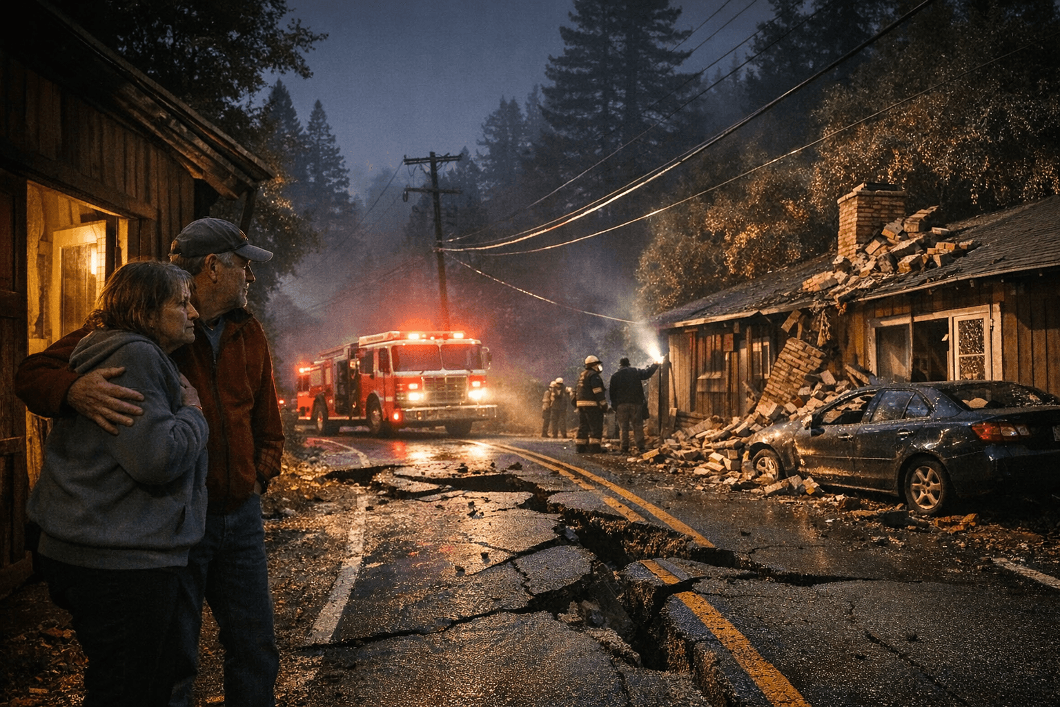
The USGS ShakeAlert early warning system activated immediately after the quake. The United States Geological Survey recorded the epicenter at a depth of 6.2 miles (10.9 km), approximately 65 miles southeast of San Francisco. Boulder Creek sits about 30 minutes north of the city of Santa Cruz, deep in the Santa Cruz Mountains along the San Andreas Fault System. Strong shaking was reported across a wide geographic range: residents near the epicenter and in San Ramon, Fremont, Burlingame, Los Gatos, San Jose, and Santa Clara all described feeling the quake. CAL FIRE CZU, the Santa Cruz Unit of the California Department of Forestry and Fire Protection, enacted its earthquake procedure and conducted building inspections across the area. No damage was detected.
The USGS has labeled the 4.9 magnitude as preliminary, meaning it remains subject to revision as seismologists process additional sensor data. The agency's aftershock forecast assigns a 60% probability to a magnitude 3.0 or greater event within the next seven days, a 14% chance of a magnitude 4.0 or higher, and a 2% probability of a magnitude 5.0 or larger quake, which also represents the odds that Thursday's event was a foreshock to something more destructive. "Our forecast changes as time passes, particularly during the first 72 hours," the USGS noted, making the window between now and Saturday morning especially significant for monitoring activity.
The Boulder Creek area's seismic exposure is not incidental. The San Andreas Fault System runs directly through the Santa Cruz Mountains, and the greater Bay Area sits atop at least seven significant fault zones: the San Andreas, Calaveras, Concord-Green Valley, Greenville, Hayward, Rodgers Creek, and San Gregorio faults. In the latter half of the 1800s, magnitude 6.0 or greater earthquakes struck the region at an average rate of once every four years.
The most catastrophic modern precedent from this same fault zone came on October 17, 1989, when the magnitude 6.9 Loma Prieta earthquake struck the Forest of Nisene Marks State Park in Santa Cruz County, roughly 10 miles northeast of Santa Cruz, at 5:04 p.m. That quake killed 63 people, injured 3,757, and caused an estimated $6 billion in property damage. The collapse of the Interstate 880 Cypress Structure in Oakland and the gutting of downtown Santa Cruz remain its defining images.
Thursday's quake caused no comparable destruction, but its shallow focal depth amplifies the energy delivered to the surface, a factor that keeps both the aftershock window and infrastructure inspections relevant in the hours ahead. The USGS is tracking the event under ID nc75337442. No injuries had been reported as of early Thursday morning.
This article was produced by Prism’s automated news system from verified source data, official records, and press releases, then run through automated quality and moderation checks before publishing. The system is built and supervised by the people who set the standards it runs under. Read our full AI policy.
Did this article answer your question?