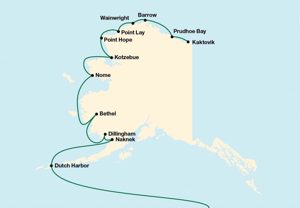
Alaska DNR Releases January 2026 North Slope Oil and Gas Activity Map
DNR released the January 2026 North Slope Oil and Gas Activity Map at the end of January as cleanup continued from a Jan. 23 rig topple near Nuiqsut that released about 4,600 gallons.
The Alaska Department of Natural Resources' Division of Oil & Gas released the North Slope Oil and Gas Activity Map dated January 2026 at the end of January, a new planning layer timed against ongoing winter operations across the borough. The map file itself appears in an industry issue PDF but the publicly available excerpt stops mid-sentence: "The map includes wellhead locations for oil and gas exploration wells completed and sepa...."
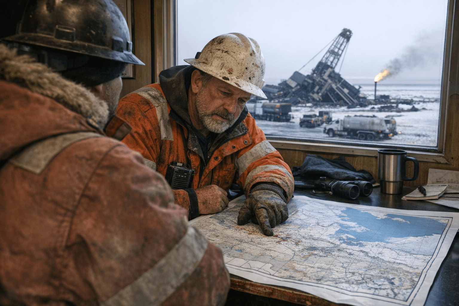
Cleanup and emergency response from a separate but related January incident remained active while the map was circulated. "Cleanup efforts continue following the Western North Slope Rig Move Incident that occurred on the afternoon of Friday, Jan. 23," the North Slope Borough said in a Jan. 28 statement. The borough estimated released volumes at approximately 4,000 gallons of diesel and 600 gallons of hydraulic oil and noted coolant tanks "appear intact though may have minor leaks."
Doyon Drilling, Inc., owner and operator of Rig 26, described the response as moving "from an initial emergency response to an environmental impact assessment and mitigation effort" in its Jan. 24 statement. The company added that two individuals who were on the rig and six other initial responders were treated at nearby clinics and have all been released, and that "traffic flow has resumed and there continues to be no threat to local infrastructure or communities." Doyon said it is leading response and recovery "under a Unified Command structure including representatives from the State of Alaska, the Federal Government and the North Slope Borough."
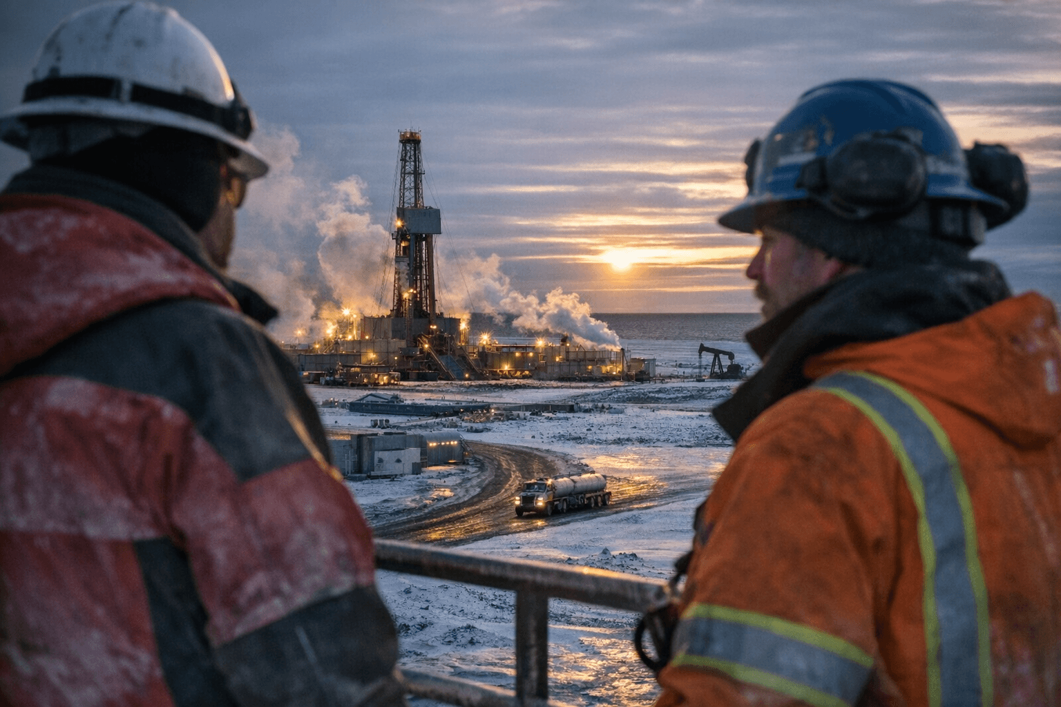
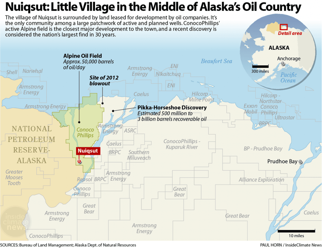
State situational reporting tracked the site through late January and early February; the Alaska Department of Environmental Conservation issued situational reports dated Jan. 26, Jan. 29 and Feb. 4 that document the response timeline and monitoring activities. A DEC situational report cited by regional coverage said the rig toppled while Doyon crews transported it on a frozen gravel road about 6 1/2 miles from the Iñupiaq village of Nuiqsut. The tipped rig was operating in support of an exploration program in the National Petroleum Reserve–Alaska; ConocoPhillips, the program operator, told courts it plans to continue the program despite the apparent loss of the rig nicknamed "The Beast."
The DNR Division of Oil & Gas site shows continuing permitting and field activity that the January map is meant to summarize, including recent approvals and amendments such as ADL 422749 for Hilcorp Alaska, LLC and other LOCI/LONS plan changes. Market and production context on the DNR page noted Alaska Crude West Coast delivery at $71.44 on Feb. 20, Henry Hub natural gas at $3.05 on Feb. 20, and ANS oil production of 447,841 barrels per day on Feb. 22.
Key questions remain visible in the public record: the map excerpt is truncated and the full legend and data sources are accessible only in the embedded PDF; DEC situational reports and Doyon and North Slope Borough statements provide spill estimates and operational roles. "Additional details will be communicated by the Unified Command led by Doyon Drilling," the company said, leaving the borough and state monitoring work as the next steps for residents and operators watching winter logistics and spring fieldwork.
Know something we missed? Have a correction or additional information?
Submit a Tip