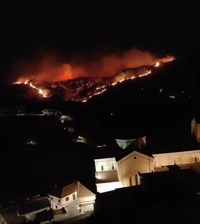
Europe's wildfire warning center tracks rising fire risk across the continent
Europe’s wildfire defenses are getting smarter, but 2025’s record burn shows forecasts alone do not stop flames. The test is whether better warnings change aircraft placement, cross-border aid and on-the-ground response.
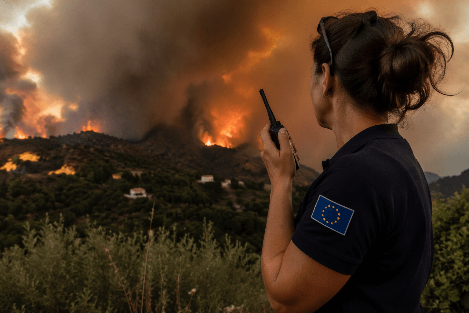
A warning center in Italy is trying to tell Europe where the next fires will spread before smoke ever rises. Its tools are satellites, weather models and cross-border fire databases, built for a continent where more than 60,000 forest fires burn about half a million hectares a year and inflict around €2 billion in losses.
How Europe’s fire-warning system works
The European Commission’s Joint Research Centre runs the continent’s main wildfire intelligence stack through the European Forest Fire Information System and the Global Wildfire Information System. EFFIS provides fire-danger predictions up to nine days ahead, along with daily active-fire, burned-area and fire-damage information. GWIS adds current situation data, country profiles and long-term fire-weather forecasts, creating a shared picture that can be used before, during and after a fire season.
That picture is broader than flame detection alone. The systems also track post-fire soil erosion, gas emissions and vegetation recovery, which matters for public health, watershed protection and long-term land management. Historic fire records and raw burned-area perimeters can also be requested, making the network a tool for planners, researchers and civil protection agencies rather than only an emergency dashboard.
Why the risk keeps rising
The Joint Research Centre expects wildfire damage to increase because of climate change and poor fuel management in abandoned rural areas. Those two pressures are linked: hotter, drier conditions make ignition easier, while depopulated landscapes leave more grass, brush and forest litter to accumulate. The result is a fire season that is harder to control and more expensive to suppress.
On March 24, 2026, Reuters warned that Europe was dangerously unprepared for worsening wildfires and needed to overhaul its aerial firefighting fleets and raise investment. Wildfire seasons are getting longer and more intense, especially in Southern Europe, where fire risk now stretches across more of the calendar year.
The challenge is not only that fires start more often. It is that the response architecture still leans heavily on last-minute dispatch, even as the hazard becomes more predictable. Forecasting can identify danger days, but it cannot by itself fix shortages in aircraft, crews and coordinated pre-positioning.
What 2025 revealed about the gap
The 2025 wildfire season exposed how large that gap has become. Satellite-based analysis from the Joint Research Centre found that 1,079,538 hectares burned in EU countries, making it the worst fire season on record for the bloc. Across the wider EFFIS coverage area, which includes Europe, the Middle East and North Africa, the total reached 2,242,195 hectares burned.
An Avincis-commissioned report placed the EU total at more than 1.03 million hectares and found 81 percent of the damage was concentrated in just five countries.
The European Parliament committed €600 million in 2024 to procure 22 DHC-515 firefighting aircraft across six countries, with deliveries staggered between 2027 and 2030. For a fire season already breaking records, that timetable leaves multiple summers in which Europe will still be relying on a fleet that is not yet in place.
What the new forecasting tools add
The European Space Agency’s SeasFire project pushes the logic of prevention further. It uses Earth-observation data and deep learning to forecast seasonal wildfire patterns in Europe, building its models on the SeasFire Cube, a global dataset covering 2001 to 2021 at 8-day and 0.25-degree resolution. The dataset includes 30 global variables tied to fire drivers, burned areas and emissions.
Some of its machine-learning models can predict burned-area patterns several weeks, or even months, in advance. That kind of lead time is different from the near-real-time alerts used during a fire surge. It is meant to influence earlier decisions, such as where to stage crews, when to increase readiness and which regions should expect the highest pressure on air support.
Forecasts have to alter budgets, mutual-aid plans and deployment orders before the first ignition. Otherwise the same aircraft, crews and roadblocks arrive after the fire front has already accelerated.
What to watch as Europe shifts from response to prevention
The continent’s wildfire strategy is now built around three layers of intelligence: operational fire danger forecasts from EFFIS, broader situational awareness from GWIS and seasonal outlooks from Earth-observation projects like SeasFire.
This article was produced by Prism’s automated news system from verified source data, official records, and press releases, then run through automated quality and moderation checks before publishing. The system is built and supervised by the people who set the standards it runs under. Read our full AI policy.
Did this article answer your question?