Explore 106-Mile Elkhorn Scenic Byway Loop from Baker City
Start and finish in Baker City on a 106‑mile loop that takes 5–7 hours, climbs to Elkhorn Summit at 7,392 ft., and visits Granite, Anthony Lakes and Sumpter — gas and winter access are limited.
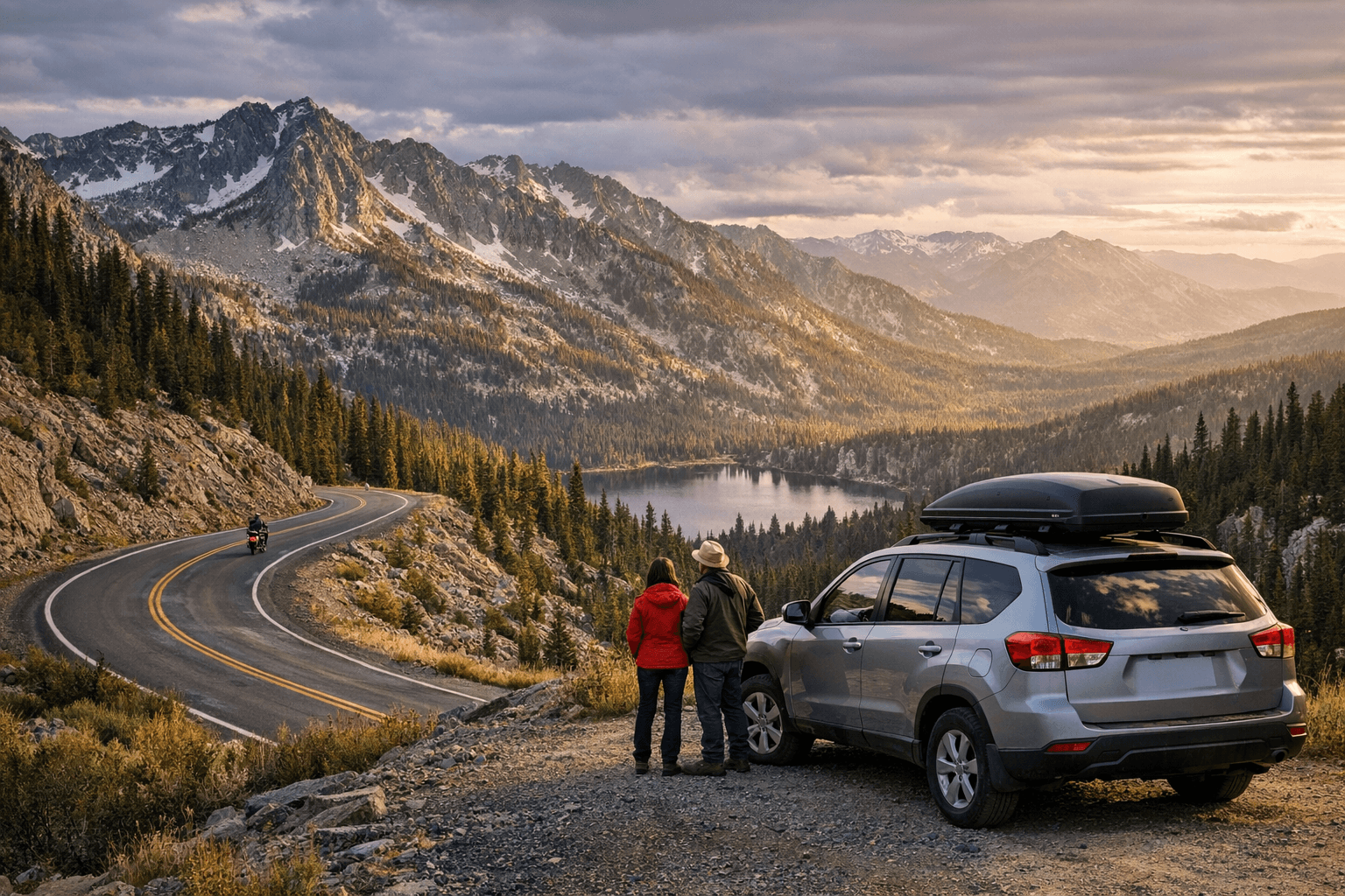
The Elkhorn Scenic Byway is a 106‑mile loop through Baker County’s gold‑rush country and the Elkhorn Mountains that begins and ends in Baker City. Expect dramatic high‑country views, ghost‑town remains, a five‑pound gold nugget on Main Street, and practical limits on services and winter plowing.
- Length: 106 miles / 170.6 km.
- Typical time to allow: five–seven hours.
- High point: Elkhorn Mountain Summit, 7,392 ft.
- Trail: Elkhorn Crest National Recreation Trail, 23 miles / 37 km.
- Fees: “A few museums charge fees, as do certain campgrounds.”
- Local contact: Baker Ranger District, 541‑523‑4476.
- Federal contact: U.S. Department of Transportation, Federal Highway Administration, 1200 NEW JERSEY AVENUE, SE, WASHINGTON, DC 20590; 202‑366‑4000.
Quick facts
1. Baker City — start and finish
Baker City anchors the loop and is presented across sources as the logical start/finish point. The city earned the nickname “Queen City of the Mines” in the late 1800s and later shifted to logging, ranching and railroad commerce; downtown preserves turn‑of‑the‑century Victorian architecture, including the restored 1889 Geiser Grand Hotel with mahogany columns and a stained glass ceiling. The Baker Heritage Museum occupies a 1920 natatorium and displays mining and ranching artifacts; Tripcheck also notes a five‑pound gold nugget on display at the U.S. Bank on Main Street, a striking relic visitors report sharing on social feeds.
2. How to begin — two documented approaches
Sources give two explicit starting directions; both are used by travelers. Tripcheck instructs drivers to “head south on Oregon Route 7” to begin the tour, while the Baker City Herald tells drivers to “follow 10th Street in Baker City to the north; it turns into U.S. Highway at the city limits.” The byway is a loop and can be driven either direction, but the Baker City Herald advises a counterclockwise route: “You can drive the byway in either direction, of course, but the counterclockwise route affords passengers the grandest scenery without requiring lots of dizzying head‑swiveling.”
3. Baker Valley and Haines — turn toward Anthony Lakes
Leaving Baker City, the byway curves through the broad Baker Valley with the Elkhorn range rising sharply to the west; the Herald notes this dramatic elevation contrast is striking because “there are no foothills in between.” About 10 miles from Baker City you enter Haines; the Herald instructs drivers to “turn left at a sign for Anthony Lakes” just after entering Haines. Haines is home to the Eastern Oregon Museum, which displays bootleggers’ stills and pioneer artifacts, offering a compact historical stop before climbing into the high country.
4. Anthony Lakes and the Lakes District — ski, hike, camp
Anthony Lakes Recreation Area sits above the valley and serves as a major recreation hub visible from Elkhorn Summit; the jagged peaks here form the backdrop for Anthony Lakes. Anthony Lakes Mountain Resort “caters to skiers and snowboarders” in winter and is known for deep dry powder available by lift or snow cat; Travel Oregon also highlights summer mountain biking, camping, hiking and lakes access. Note the Herald’s winter caution: “The snowplows stop near here in winter,” which limits maintained winter road access beyond the resort approach.
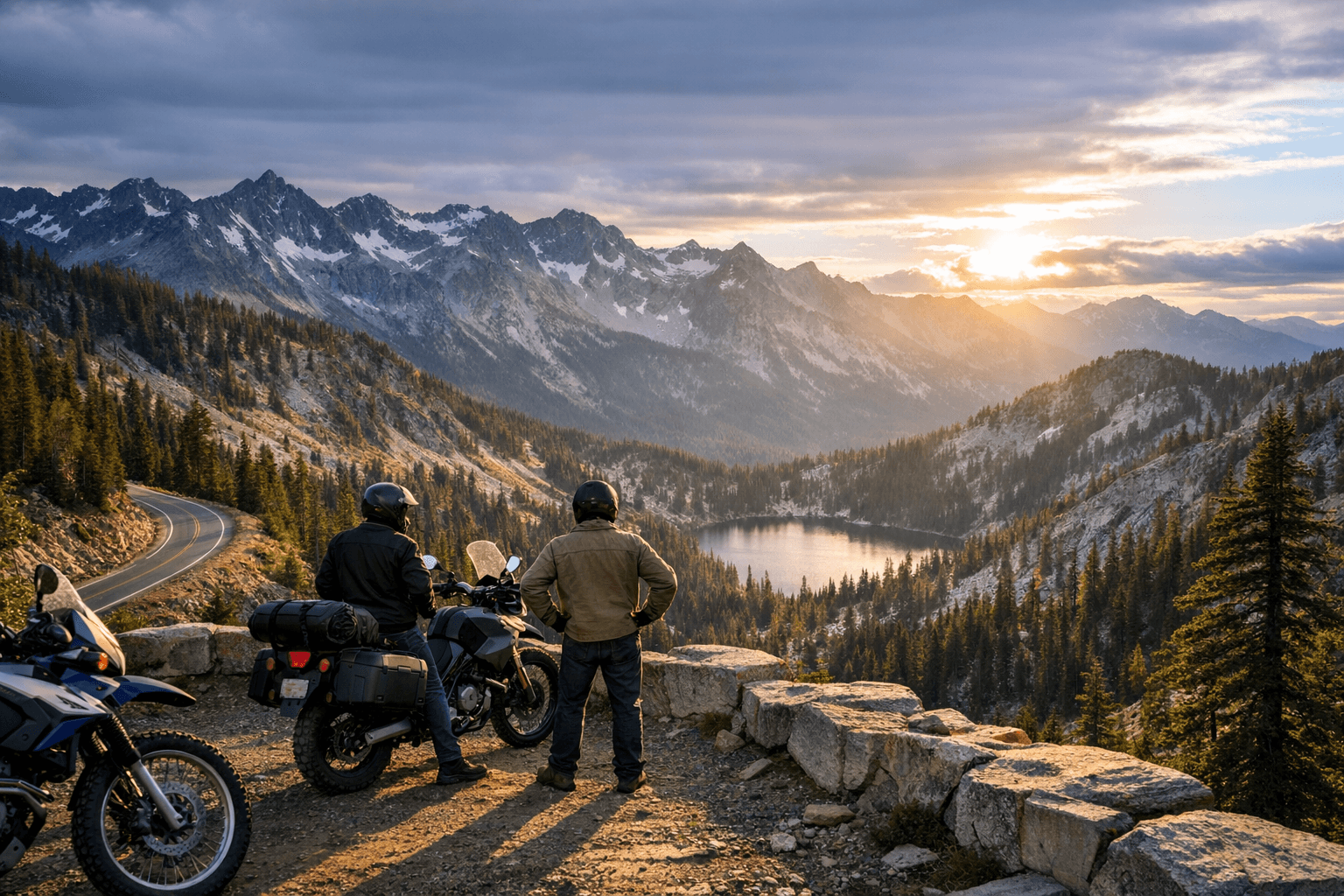
5. Elkhorn Summit and Elkhorn Crest Trail — high‑country vistas
After Anthony Lakes the route climbs to its apex at Elkhorn Mountain Summit at 7,392 ft., where the ridgeline views frame lakes and mountaintops. The Elkhorn Crest National Recreation Trail departs near Anthony Lakes and runs 23 miles / 37 kilometers along the ridgeline, skimming streams, meadows and alpine lakes; this trail is a defining high‑country feature for hikers and backpackers. From the summit the byway descends sharply — the Herald describes a 2,500‑foot drop down to the North Fork John Day River — so be prepared for steep, winding road sections.
6. North Fork John Day River and Blue Mountain junction
The byway meets the Blue Mountain Scenic Byway at the North Fork John Day Campground where it drops to the North Fork John Day River corridor. The river carries a “Wild and Scenic” designation and is recognized for “outstanding fisheries, water quality, scenery, recreation, wildlife, and historical values, and is a popular destination for outdoor people.” That junction offers access to river recreation and links travelers to the broader Blue Mountains route network.
7. Granite and the Ah Hee Diggings — gold country and Chinese miner sites
Ten miles beyond the junction you reach Granite, founded after gold was discovered on Bull Run Creek in 1862; Tripcheck records that “for 80 years, boisterous Granite produced gold.” Look for the Ah Hee Diggings Interpretive Site and rock “walls” along Granite Creek created by early Chinese miners. Granite retains evocative abandoned buildings and legendary miner names recorded in local accounts — Skedaddle Smith, One‑eyed Dick and ‘49 Jimmie, whose only companion was a rooster — and travelers are advised: “Before you leave town, be sure to gas up, as no services are available until you reach Baker City.” Granite does have “a store/cafe/gas station, as well as a lodge,” per local reporting.
8. Blue Springs Summit — snowmobile park and elevation notes
The route climbs again to Blue Springs Summit, a popular snowmobiling venue with dramatic Elkhorn views. Sources differ slightly on elevation: Tripcheck lists Blue Springs Summit at 5,864 ft., while the Baker City Herald lists it at 5,867 ft.; both figures appear in official and local guides and differ by just three feet. From Blue Springs the route descends toward Sumpter with sweeping vistas and Rock Creek Butte visible on the horizon.
9. Sumpter — dredges, rail history and ghost‑town energy
Sumpter is described as “the liveliest of Oregon’s ghost towns” with a population of roughly 175 and is a must‑stop for railway and train buffs; the Sumpter Valley Dredge State Heritage Area is a featured attraction. The circuitous descent into Sumpter provides some of the route’s finest views; the town’s mining heritage and preserved machinery make it one of the byway’s most photographed stops.
10. Optional eastern detours — Prairie City, Whitney, Shaniko, Antelope and the John Day Fossil Beds
The byway connects to road networks that lead to Prairie City (home to the DeWitt Depot Museum) and toward the Strawberry and Blue Mountains, Whitney (a ghost town of fewer than 150 residents), and Shaniko, where the local railway stopped crossing the town in the 1930s and the small Shaniko Hotel still offers an overnight option. Heading east on OR‑218 toward Antelope gives access to the John Day Fossil Beds National Monument and its headline sites — Painted Hills, Clarno and Sheep Rock — which Islands calls a “must‑stop attraction” and promises: “You’ll be amazed by all the fossils, geological discoveries, and ancient rock formations at the National Monument.”
- Gas up in Granite — no services are available on parts of the circuit until you return to Baker City, per Tripcheck.
- Expect fees at “a few museums” and “certain campgrounds” — FHWA notes some admissions and campsite charges.
- Winter access: “The snowplows stop near here in winter,” near Anthony Lakes, so check with Baker Ranger District before traveling in snow.
- Local road and recreation questions: Baker Ranger District, 541‑523‑4476. For federal scenic‑byways information contact the FHWA at 1200 NEW JERSEY AVENUE, SE, WASHINGTON, DC 20590; 202‑366‑4000.
11. Practical planning, fees and contacts
Plan the loop as a day trip or multi‑stop tour and allow five–seven hours for driving without extended hikes. Practical tips:
Conclusion The Elkhorn Scenic Byway loops 106 miles through Baker County’s highest ridgelines, mining past and alpine lakes, delivering concentrated scenic and historic variety in a one‑day circuit or a relaxed multi‑stop outing. Follow the practical service and winter cautions, pick the counterclockwise direction if you prefer sweeping passenger views, and plan stops at Anthony Lakes, Granite and Sumpter to see how the Elkhorns shaped Baker County’s landscape and history.
Know something we missed? Have a correction or additional information?
Submit a Tip