French army drone finds 16th-century shipwreck, deepest ever in territorial waters
A patrol drone scanning French seabeds for minerals and cables found a 16th-century wreck 2,567 metres down, with 200 jugs and six cannons still intact.
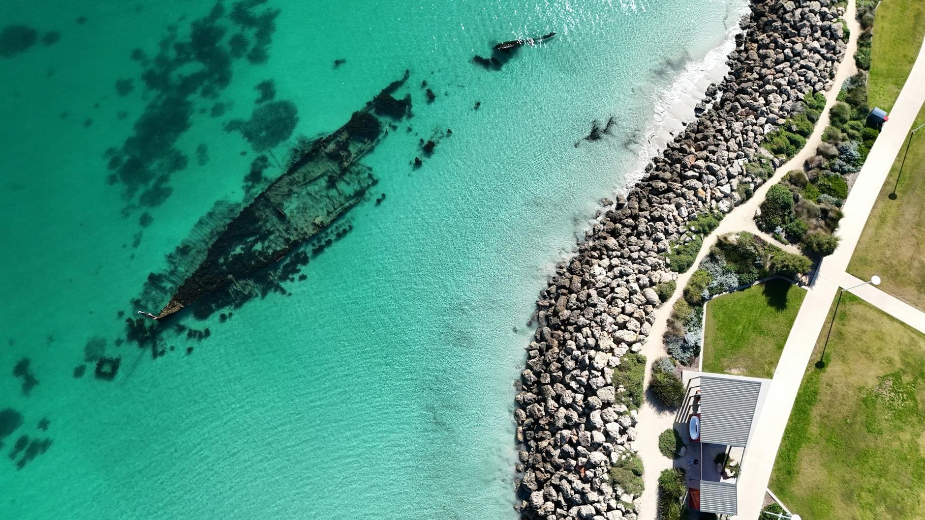
A French Navy drone looking for deep-sea resources instead stumbled onto a buried time capsule off Saint-Tropez: a 16th-century merchant ship resting 2,567 metres below the surface near Ramatuelle.
The wreck, named Camarat 4, was found by chance in early March 2025 during a seabed patrol for the French government’s deep-sea monitoring mission, which tracks minerals and undersea internet cables. Sonar first picked up a large object. Officials then sent back a camera and an underwater robot, producing the high-quality images that let archaeologists identify what lay on the seabed. French officials said it was the deepest shipwreck ever found in French territorial waters.
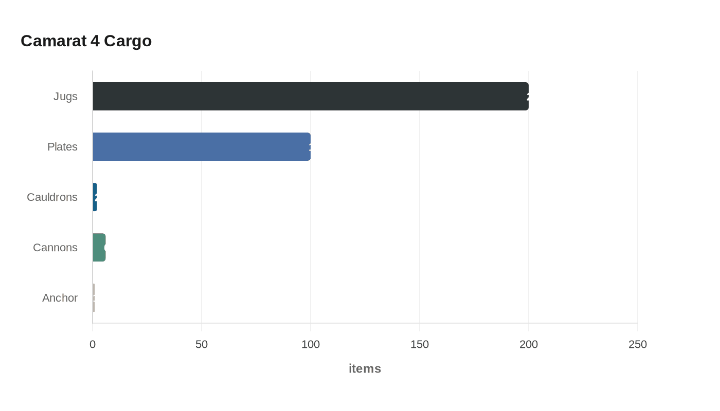
Researchers believe the vessel was sailing from northern Italy, most likely Liguria, when it sank nearly 500 years ago. The cargo points to the bustling commercial lanes of the Mediterranean Sea: about 200 ceramic jugs, roughly 100 yellow plates, two cauldrons, an anchor and six cannons, along with metal bars. Some of the jugs carried the monogram IHS, associated with Jesus, while others were decorated with plant motifs or geometric patterns.
Marine Sadania, an archaeologist with the French culture ministry’s underwater archaeology department, said the depth helped seal the site away from looters and recovery attempts, leaving it, in her words, “as if time froze.” That preservation gives historians a rare look at how trade and defense overlapped in the 16th century, when merchant ships often carried both commercial wares and artillery while moving through contested waters.
The find also underscores how seabed surveillance is changing archaeology. The same systems used to monitor strategic infrastructure can now expose wrecks that would have stayed hidden for centuries, and the robotics make it possible to document a site before anyone disturbs it. For Camarat 4, researchers plan to build a 3D digital model and take samples over the next two years, a careful study that could sharpen the picture of where the ship came from, what it carried and why it never reached port.
At 2,567 metres down, the wreck has survived precisely because it was beyond the reach of ordinary divers and salvage crews. That depth has turned a routine military patrol into one of the most important underwater discoveries ever made in French waters.
This article was produced by Prism’s automated news system from verified source data, official records, and press releases, then run through automated quality and moderation checks before publishing. The system is built and supervised by the people who set the standards it runs under. Read our full AI policy.
Did this article answer your question?


