Google pauses AI Earth image tool after deepfake backlash
Google paused a Google Earth AI feature after users quickly made fake bombings, riots and a collapsed Eiffel Tower from satellite views. The backlash exposed a new verification gap.
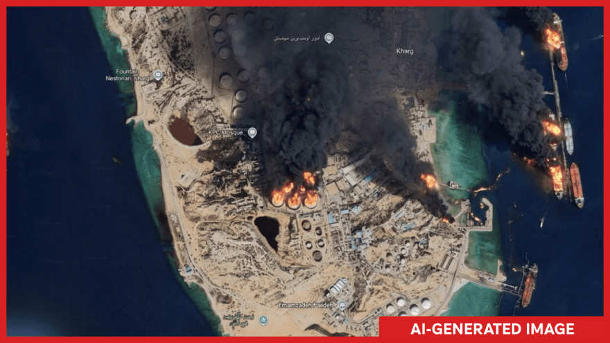
Google rolled out an AI image feature in Google Earth on July 30, 2026, then paused it after about a day as backlash grew over its ability to generate convincing fake satellite scenes. The tool let users create images grounded in real-world satellite, aerial and 3D views, turning Google Earth on the web into a place where a location could be altered with a prompt.
Google said the feature could help people “visualize history, create real estate plans, and more.” Instead, journalists, human rights advocates and open-source analysts quickly focused on how easily the same system could be used to manufacture false evidence from the sky. NPR quoted one expert who said, “The opportunities for abuse and disinfo are literally boundless.”
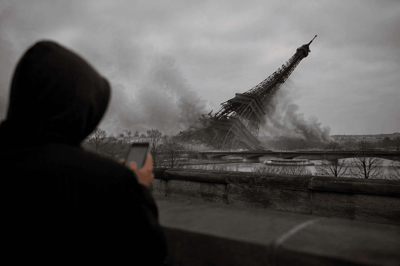
The concern was not abstract. BBC Verify published an example of a fake AI-generated satellite image showing the Eiffel Tower in Paris collapsed, a striking demonstration of how realistic a synthetic scene could appear when built on top of recognizable geography. The Washington Post reported that users were already producing manipulated aerial views of bombings, riots, fire, smoke and destruction, the kind of imagery that could be mistaken for real footage in wartime reporting or disaster coverage.
Google had expanded its broader Earth AI capabilities on October 23, 2025, before this controversy, but the July rollout sharpened the question of whether a consumer tool can safely mix generative AI with geospatial imagery. The feature was introduced on the web, not in mobile apps, with coverage noting separate limits for mobile users, yet even that narrower launch proved enough to trigger a verification crisis.
The episode exposed how thin the safeguards are when a single interface can transform a familiar map into a plausible falsehood. For newsrooms, the burden now is not only to check whether a satellite image is authentic, but to establish whether it was ever generated inside a platform that can recreate bomb blasts, collapsed landmarks and other scenes that look like evidence.
This article was produced by Prism’s automated news system from verified source data, official records, and press releases, then run through automated quality and moderation checks before publishing. The system is built and supervised by the people who set the standards it runs under. Read our full AI policy.
Did this article answer your question?