Haw River Trail in Alamance offers 20 miles land, 40 miles paddle
Haw River Trail offers about 20 miles of land trail and roughly 40 miles of paddle trail in Alamance County, expanding recreation, conservation and river access for local residents.
With roughly 20 miles of hiking and about 40 miles of paddling open in Alamance County, the Haw River Trail now provides a significant stretch of multi-use river access that matters for outdoor recreation, local tourism and river conservation.
Alamance Parks and the Haw River Trail organization report the county section includes about 20 miles of Land Trail and approximately 40 miles of Paddle Trail, with 14 paddle accesses stretching from the Guilford County line to the Alamance-Orange County line. Alamance Parks says the HRT system currently includes four recreational parks open to the public and explicitly maintains Great Bend Park at Glencoe, Shallow Ford Natural Area, Altamahaw Paddle Access, Glencoe Paddle Access, Saxapahaw Lake Paddle Access and Saxapahaw Mill Race Paddle Access.
The trail is part of a larger vision. Alamance Parks and the Haw River Trail describe a planned corridor of approximately 80 miles from Haw River State Park on the Rockingham-Guilford line down to Jordan Lake State Recreational Area in Chatham County, though past coverage has also described a 70-mile proposal. The HRT is designated as part of the statewide Mountains-to-Sea Trail, which links Clingman’s Dome to Jockey’s Ridge.
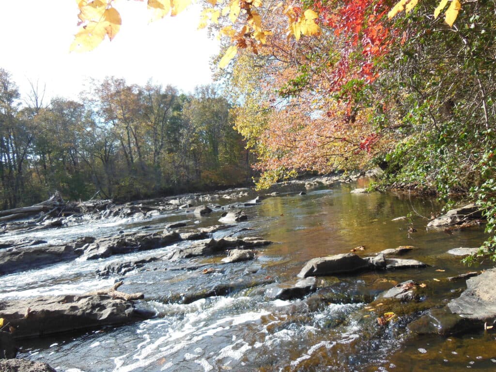
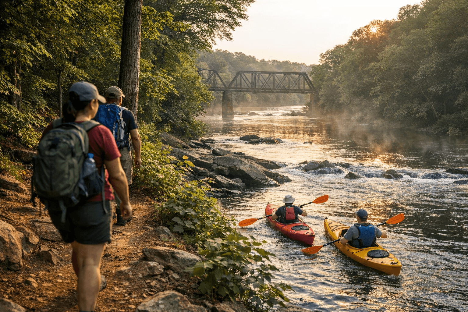
The public experience mixes nature, history and family-friendly amenities. Guil Johnson, Haw River Trail coordinator, notes: “Exploring the Haw from the seat of a kayak or along the twenty-plus miles of land trail are the best ways to appreciate the river. Bring family or friends and visit one of the many Haw River Trail parks, which include playgrounds, wildflower meadows, nature observation platforms, and primitive camping sites along the riverbank. For those who are new to paddling, we offer a list of local river outfitters on our website as well as amenity information for each Haw River Trail park.” Johnson also highlights skill-level variety: “The northern section of the Haw River offers a quiet, intimate paddle, while the most southern portion of the Haw River offers some of the best whitewater paddling in the Piedmont.”
Field details matter for safety and navigation. Haw River Trail blazes are diamond-shaped, blue with white and carry the HRT logo and a four-digit code for emergency location; the site instructs: “If you are in need of emergency assistance, dial 911 and report the four digit code on the nearest trail blaze to the operator.” Land Trail maps (including a 2017 land map) and Paddle Trail maps are available for download through local visitor resources and the HRT website, and the partnership notes that completing the corridor will rely on cooperation from landowners and local governments.
Economically and culturally, the trail stitches together riverfront parks, restored mill villages and repurposed sites such as Saxapahaw and Glencoe, supporting recreation spending, small outfitters and heritage tourism while protecting river corridor habitat used by bald eagles, river otters and local anglers. For Alamance residents, the immediate payoff is accessible paddling, hiking and picnic options within county parks; longer term, the Haw River Trail Partnership’s work aims to boost outdoor access, conservation and local economic activity as new sections and trailheads open.
Sources:
Know something we missed? Have a correction or additional information?
Submit a Tip