Hernando County Launches GeoHub GIS Map to Centralize Land‑Use Data
Hernando County launched GeoHub on Feb. 23, 2026 to put zoning, setbacks, flood zones and maximum height rules into one public land‑development map.
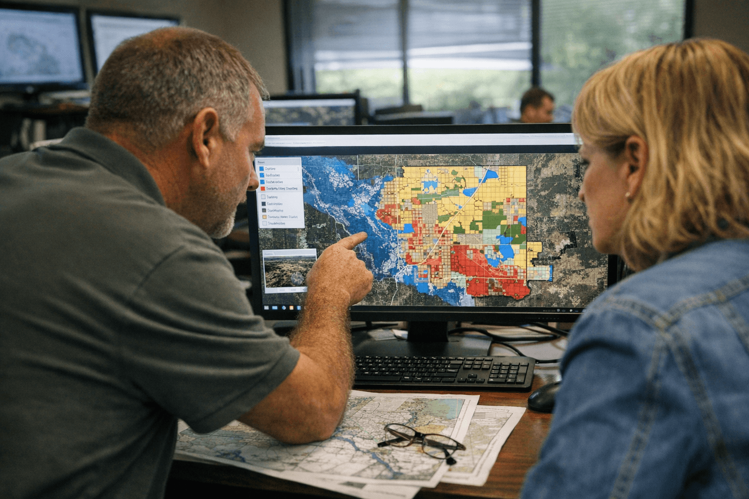
Hernando County launched a public GeoHub mapping tool on Feb. 23, 2026 to centralize permitting, zoning and land‑use information for residents, developers and county staff. The county calls the Phase 1 rollout a centralized, user‑friendly platform intended to support faster and more informed decision‑making by giving immediate access to accurate land‑development data.
County materials and a post from Business Hernandochamber list GeoHub Phase 1 features that let users search by key number or address and view flood zones, wetlands, conservation lands, land‑use designations, setback information, maximum building height regulations and other current Code of Ordinance standards. The county emphasized that consolidating those requirements into one map will reduce the need to search across multiple sources.
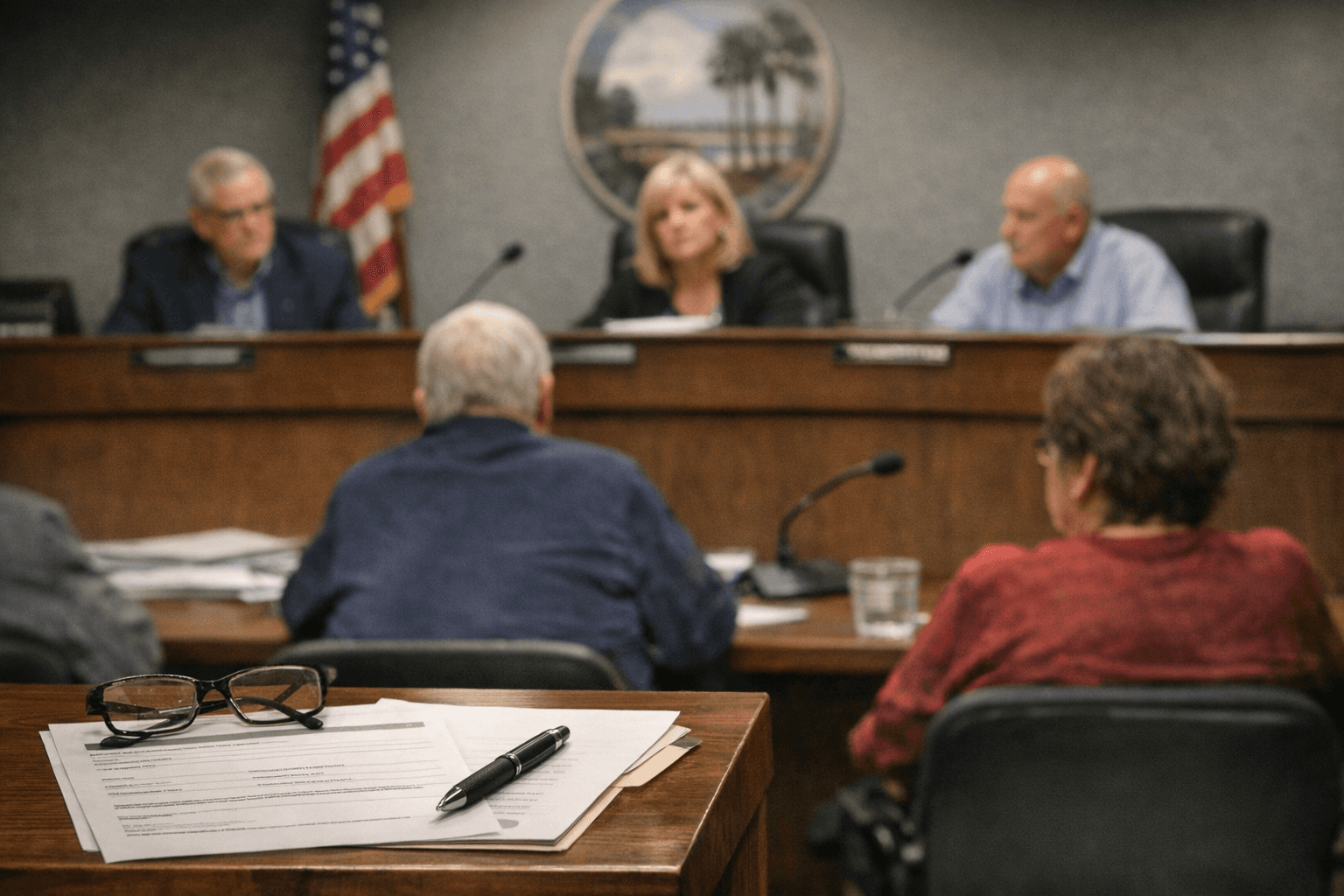
An earlier public demonstration in Brooksville on Jan. 30 drew about 45 residents and briefly ran into connectivity problems before the demonstration resumed. SwiftGov representative Sabrina Dugan got the system working after the delay, and the session produced more questions about growth and development than enthusiasm about the technology. Omar DePablo, Hernando County’s Development Services Director, acknowledged past issues with mapping tools, saying, “There was frustration,” he said. “There was clarity issues” and things weren't always transparent.
Hernando County will host three Virtual Community Forum sessions to showcase the Land Development Regulations GIS Map as part of the Phase 1 launch: Feb. 27, 2026 from 6:00 p.m. to 7:30 p.m.; March 6, 2026 from 9:00 a.m. to 10:30 a.m.; and March 6, 2026 from 6:00 p.m. to 7:30 p.m. Participants are encouraged to register in advance to secure their preferred session; registrants will receive a confirmation email with instructions for joining the Zoom meeting.
The GeoHub Phase 1 system was created by SwiftGov and is presented as a complement to the county’s Central GIS resources, which describe mission goals to provide timely, intuitive access to reliable geographic information. Hernando County’s media materials include an accessibility note for persons with disabilities who need alternate formats. For more information, contact the Development Services Department at (352) 754‑4057 or the Hernando County main line at (352) 754‑4000. The county will use the scheduled virtual forums to walk community members, developers and staff through the new mapping layers and how the tool pulls zoning, setbacks and ordinance standards into one place.
Sources:
Know something we missed? Have a correction or additional information?
Submit a Tip