Merrymeeting Bay: Paddling, Fishing and Wildlife Viewing in Sagadahoc County
Merrymeeting Bay is a freshwater tidal hub where six rivers meet, offering paddling, fishing and wildlife viewing while facing navigation hazards and ongoing conservation needs.

Merrymeeting Bay sits at the confluence of six rivers and remains a vital natural and recreational resource for Sagadahoc County residents. Roughly a 4 x 7 mile waterbody (about 9,600 acres), the bay functions as a freshwater tidal delta with tides that run up to 6 feet and a narrow outlet known as The Chops that can make navigation hazardous.
The bay receives water from the Kennebec and Androscoggin rivers plus four smaller tributaries - the Cathance, Eastern, Abagadasset (also spelled Agabadasset in some documents), and the Muddy River - and captures a very large share of regional runoff. Sources describe the basin as taking in nearly 40 percent of Maine’s runoff and draining a substantial portion of the state, which helps explain the bay’s exceptional productivity and the concentration of fish and birds that attract locals and visitors alike.
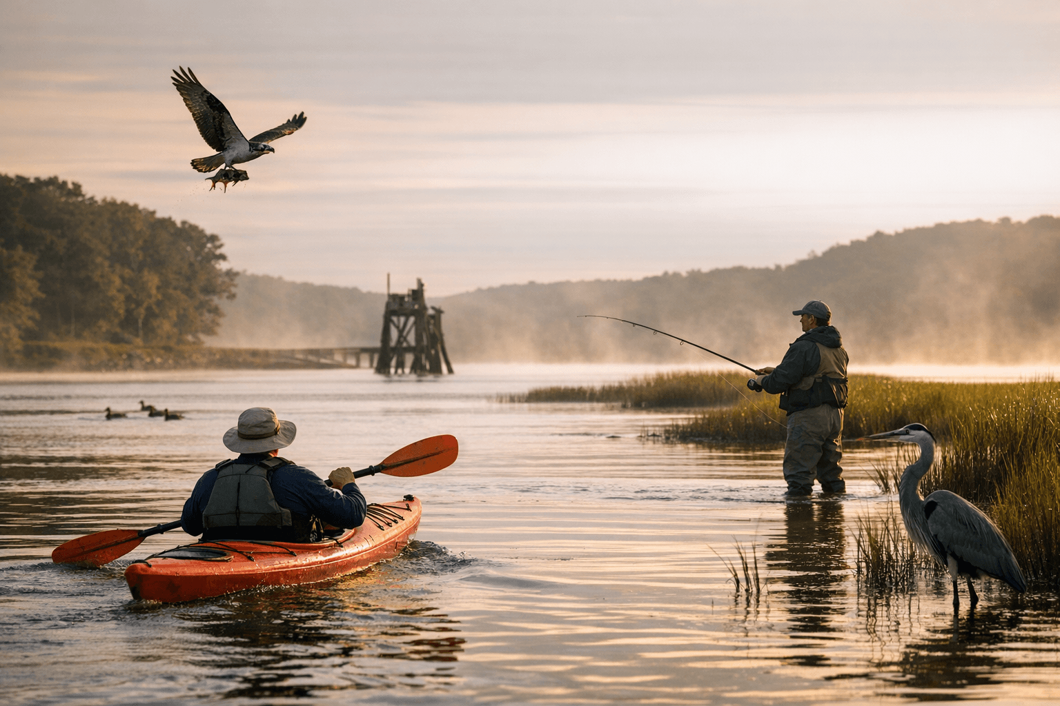
Merrymeeting Bay is a focal point for wildlife viewing, paddling and fishing. Freshwater tidal marshes, emergent beds and intertidal mudflats host numerous waterfowl and wading birds and make the bay one of the most important waterfowl concentration areas in New England. Over 50 species of freshwater fish use the bay, and ten anadromous species migrate through it. The bay supports American eel populations and, in at least one tributary, Maine’s only known site for redfin pickerel (Esox americanus). These biological values underpin ongoing conservation planning and restoration work.
Federal and regional conservation plans describe the area as largely undeveloped habitat. NOAA’s SHRU material indicates the Merrymeeting Bay salmon habitat unit is about 82 percent forested, timberland or wetland, with development concentrated along major tributaries and the I-95 corridor. Habitat restoration actions under consideration include restoring natural seasonal flows after dam removals to improve spawning and incubation in clean gravel and cobble riffles, a step managers expect will benefit Atlantic salmon and other species.
For recreation and access, public docks on tributary rivers in Brunswick, Bath, Richmond and Bowdoinham provide launch points for paddling and fishing. The Kennebec Estuary Land Trust manages Merrymeeting Fields Preserve, a 125-acre preserve with trails and an overlook that frames the full length of the bay. For land-based outings, the Bath Area Family YMCA serves as a convenient starting point for scenic bike routes into the region; directions from US 1 into Bath and over the Sagadahoc Bridge are included in local route materials and note restroom access at the YMCA.
Residents should plan outings with safety and stewardship in mind. The Chops is a 280-yard slot in bedrock where converging flows can be hazardous to boaters; toss-a-stick experiments from shore illustrate how tidal flows can reverse direction but rocky shorelines can be slippery. Road cautions include heavy traffic on the Sagadahoc Bridge and narrow, winding roads on nearby routes.
The bay’s mix of recreation, habitat and watershed influence means local policy choices matter. Actions such as dam removals, shoreline protection, septic care and improved road-crossing standards all affect water quality, fish runs and the outdoor economy. For Sagadahoc County readers, that means the places where you paddle, cast or walk are tied to broader decisions about land use and river restoration; keeping The Chops and shore routes safe, supporting local land trusts, and checking tide and launch conditions are practical steps to protect both people and the bay’s wildlife as work continues on conservation priorities.
Sources:
Know something we missed? Have a correction or additional information?
Submit a Tip