New study finds 17 million coastal residents face highest flood risk
More than 17 million coastal residents were ranked at highest flood risk, with New York City exposed in raw numbers and New Orleans in relative exposure.
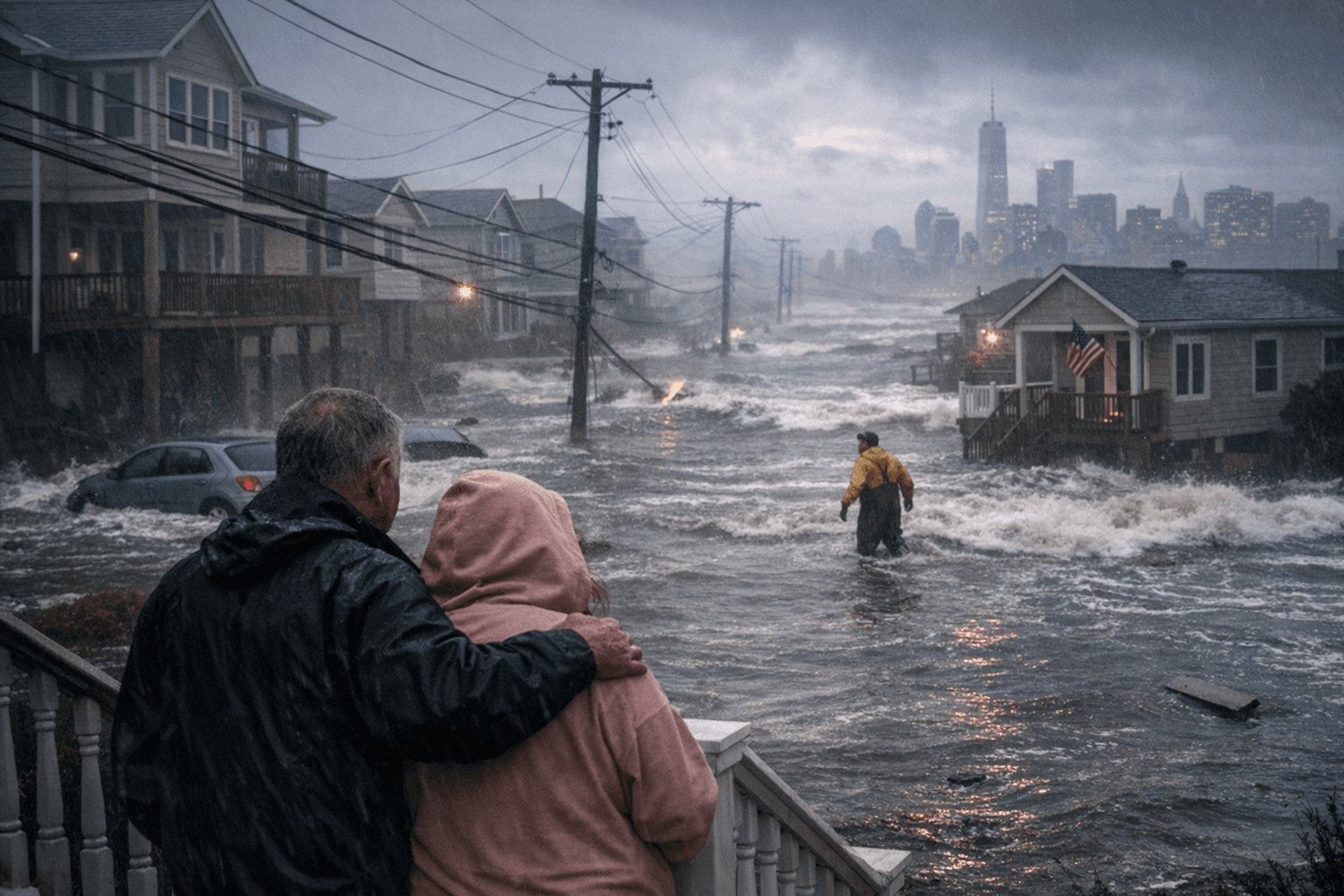
More than 17 million people along the Atlantic and Gulf coasts were placed in the highest flood-risk category by a new analysis, a concentration of danger that was especially stark in New York City and New Orleans. The study showed that flood exposure was not spread evenly across the shoreline: a handful of metros held the most at-risk residents, while low-lying neighborhoods carried a disproportionate share of the threat.
The study, titled “A tale of two coasts: Unveiling U.S. Gulf and Atlantic coastal cities at high flood risk,” used historical flood-damage data and 16 factors tied to hazard, exposure and vulnerability. It ran the data through Support Vector Machine, Random Forest and Multi-Layer Perceptron models, then identified eight coastal cities as high-risk. New York City had the largest population at risk, with 4.75 million people in the General Flood Damage scenario and 4.40 million in the Extreme Flood Damage scenario.
New Orleans stood out for a different reason. The city had the highest relative exposure, with about 99% under both modeled scenarios. That finding underscored how geography, drainage limits and dense development can leave a city vulnerable even when the absolute number of exposed residents is smaller than in the nation’s largest metro. The study also showed how concentrated the danger was inside small portions of the built environment: under the General Flood Damage scenario, 1.14% of the area contained 16.67% of the population at very high risk. Under the Extreme Flood Damage scenario, 0.53% of the area contained 4.08% of the population at very high risk.
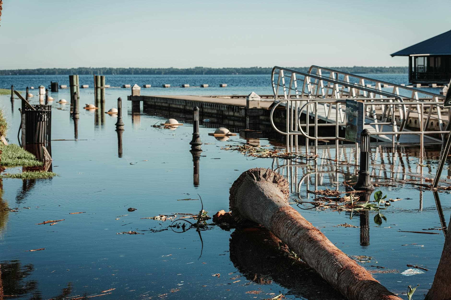
That concentration has direct consequences for housing, insurance, transportation and emergency planning. NOAA says coastal counties along the Atlantic and Gulf of Mexico coasts and the Hawaiian Islands account for nearly two-thirds of the nation’s coastline population, and coastal counties as a whole hold 129 million people, or almost 40% of the U.S. population. NOAA also says high-tide flooding is now occurring nearly three times as often as it did in 2000, while Climate Central projects some coastal flooding could become 10 times more frequent by 2050.
The policy stakes are already visible. Climate Central has said human-caused sea-level rise accounted for $8.1 billion, or 13%, of Hurricane Sandy’s damages in New York, New Jersey and Connecticut. FEMA says its Coastal Flood Risk products are meant to help communities make floodplain management, emergency preparedness and risk-reduction decisions using updated scientific information. The new analysis suggests those decisions will only grow more urgent as flood risk keeps clustering in the places where America’s coastal population is most densely packed.
This article was produced by Prism’s automated news system from verified source data, official records, and press releases, then run through automated quality and moderation checks before publishing. The system is built and supervised by the people who set the standards it runs under. Read our full AI policy.
Did this article answer your question?

